Region
Cairngorms
The UK's largest national park — subarctic plateau, ancient Caledonian pine forest, and more Munros than anywhere else in Scotland.
- Munros
- 58
- Corbetts
- 37
- Grahams
- 27
- Bothies
- 19
- Trail centres
- 7
- Long-distance trails
- 7
- Wild swimming
- 10
- Gravel routes
- 8
- Dark sky sites
- 2
- Highest peak
- Ben Macdui (Beinn Macduibh) (1309.3m)
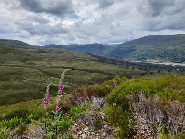
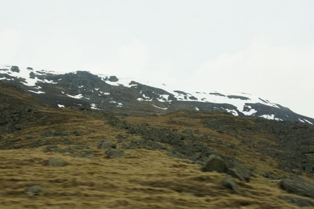
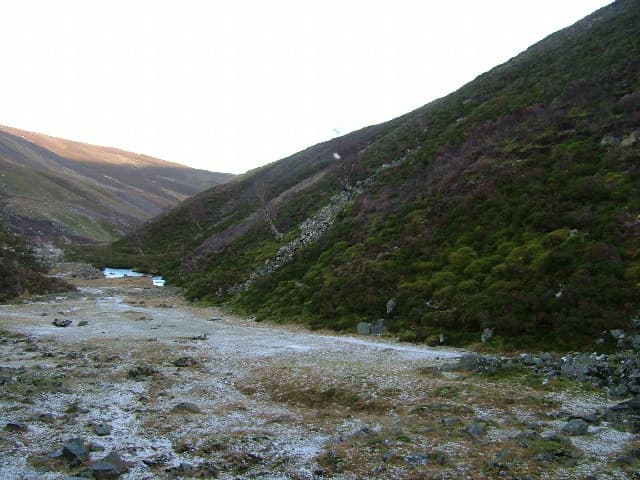
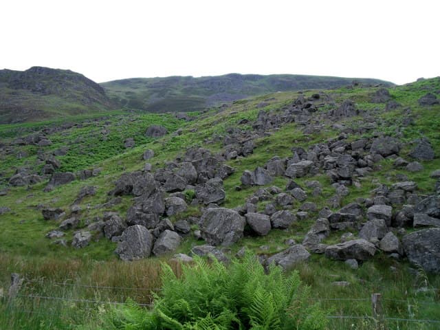
The Cairngorms is the UK's largest national park and the closest thing Scotland has to genuine subarctic terrain. The central plateau sits above 1,000m and stays under snow well into May most years — in some corries, snowfields persist year-round. The four highest Munros in Britain are all here: Ben Macdui, Braeriach, Cairn Toul, and Cairn Gorm itself. This is not a place you wander into casually.
What makes the Cairngorms distinctive isn't just the altitude — it's the combination of scale and accessibility. You can park at Cairn Gorm ski centre, take the funicular to 1,085m, and walk to the summit in an hour. Or you can spend a week crossing the full plateau from Aviemore to Braemar via the Lairig Ghru without seeing a road. Both experiences exist here. The sheer area of the park — 4,528 sq km — means that even in August, you can find genuine remoteness ten kilometres from a car park.
The Strathspey villages of Aviemore, Kingussie, and Grantown-on-Spey are the main bases. Aviemore in particular has everything: decent food, gear shops, the main ski centre, and a direct rail connection to Edinburgh and Inverness. Braemar on the Aberdeenshire side is smaller and quieter. Between them, you have access to the entire plateau and to the river valleys — the Dee, the Spey, and the Avon — that cut through the range.
Glens9 glen guides
All glens →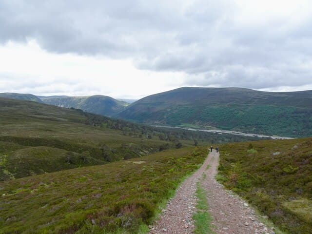
Glen Feshie
Rewilding in action — reduced deer, returning pines, and a braided river through the southern Cairngorms that looks different every time you visit.
Glen Tilt
A legal right-of-way forged in an 1847 court case — the historic through-route from Blair Atholl to Braemar through some of the most remote terrain in the southern Highlands.
Glen Clova
The finest of the Angus Glens — quieter Munros, better skies, and a hotel at the end of the road that has been serving hillwalkers since the Victorian era.
Glen Doll
A Forestry Scotland glen at the head of Glen Clova — the start of Jock's Road, the most contested right-of-way in Scottish history.

Glen Esk
The most easterly and most agricultural of the Angus Glens — an approachable introduction to eastern Cairngorms walking with good Pictish history nearby.
Glen Lui
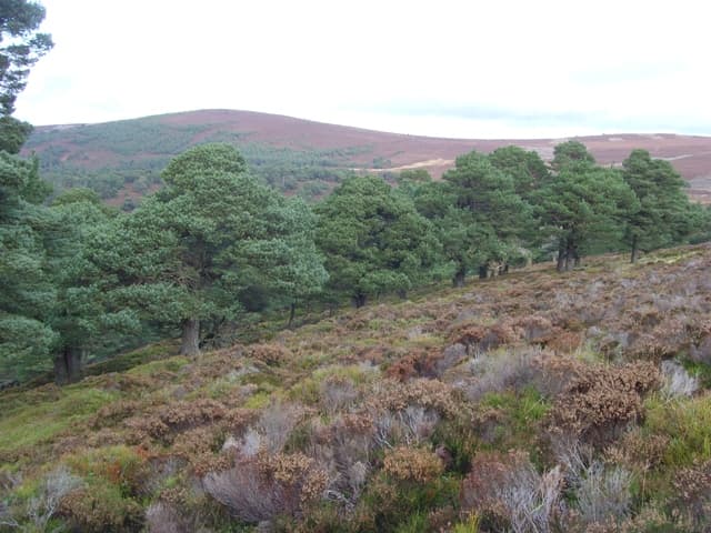
The Caledonian pine approach to the Cairngorm plateau — ancient trees, Derry Lodge ruins, and the southern gateway to Ben Macdui.
Glen Quoich
The hidden glen beside Glen Lui — the Punch Bowl gorge that most Linn of Dee visitors walk straight past, and a glen named, in Gaelic, after the very feature they miss.
Glen Tanar
One of the better-managed Caledonian pinewoods on Deeside, an ancient trans-Cairngorm road still walkable today, and the most easterly Munro approached from the south.
Glen Banchor
Three Monadhliath Munros starting 1km from Newtonmore train station — the most genuinely car-free Munro day in the Cairngorms National Park.
Hills58 Munros · 37 Corbetts · 27 Grahams
Ben Macdui (Beinn Macduibh)
1309.3m
Braeriach
1296m
Cairn Toul
1291m
Sgor an Lochain Uaine
1258m
Cairn Gorm
1244.8m
Beinn a' Bhuird (Beinn a' Bhuird North Top)
1196m
Beinn Mheadhoin
1182.9m
Ben Avon - Leabaidh an Daimh Bhuidhe
1172m
Beinn Bhrotain
1157m
Derry Cairngorm
1155.8m
Long-distance trails
Bothies19 in this region
Ryvoan Bothy
Gelder Shiel Stable
Callater Stable
Charr
Bob Scott's Memorial Bothy
Allt Scheicheachan
Glas-allt-Shiel
Ruighe Ealasaid (The Red House)
Mountain biking
Laggan Wolftrax
Laggan, Newtonmore
Glenlivet Mountain Bike Trails
Glenlivet Estate, Tomintoul
Pitfichie Forest
Pitfichie Forest, near Monymusk
Moray Monster Trails (Ben Aigan)
Ben Aigan, near Fochabers, Moray
Rothiemurchus & Inshriach
Rothiemurchus Estate, Aviemore
Balblair Woods
Balblair Forest, near Bonar Bridge
Contin Forest
Contin Forest, near Strathpeffer
Wild swimming10 spots
Gravel cycling8 routes
Wild camping
Dark sky & northern lights2 sites
Map
Hills (dark/mid green), bothies (brown), wild swimming (blue), dark sky (purple).
Getting there
Edinburgh
2 hr drive
Glasgow
2.5 hr drive
Inverness
45 min drive
Aberdeen
1 hr drive
Train access
ScotRail serves this region
Guided support for Cairngorms
If you'd prefer a guided experience, these operators run trips in this area.
Wilderness Scotland
Premium guided expeditions, all regions
Macs Adventure
Self-guided LDP specialists
Hillwalk Tours
Self-guided routes, luggage transfer
Absolute Escapes
Edinburgh-based independent operator
Affiliate links — disclosure
Our take
Skip Ben Macdui in bad visibility — the plateau is genuinely featureless and people get lost here every year, including experienced hillwalkers. The path from Cairn Gorm summit to Ben Macdui is not difficult in clear conditions; in mist it becomes a compass-and-map exercise that exposes those who haven't practised. Go in September when the heather is purple, the midges are dying off, and the visibility is typically better than summer.
The Lairig Ghru is one of the great Scottish passes and worth doing as an overnight with a night at Corrour Bothy — but read the approach notes carefully. The Dee crossing near the bothy is dangerous in spate and catches people out. The forest walking from Linn of Dee to Derry Lodge is some of the best in Scotland, through ancient Caledonian pines with red squirrels and crested tits overhead. Don't rush past it to get to the hills.
Come back in winter for the dark skies: the Tomintoul & Glenlivet corner is a designated Dark Sky Park, and on an active night the Northern Lights show over the Cairngorms — pair a short winter hill day with an after-dark aurora watch.
Track your Cairngorms hills
Log your completions across the Cairngorms hills and plan your next route.
Open Hill Tracker →Explore nearby regions
Scotland outdoor updates
Route guides, condition reports and seasonal picks — once a week, no noise.
Around Cairngorms on the SCOT network
Sister sites covering food, drink and travel context for the same area. Linked direct.
Speyside whisky region
46 distilleries — Glenfiddich, Macallan, Glenlivet, Aberlour. Scotland's densest whisky country.
tastescot.co.uk
On TasteSCOTHighland whisky region
40 distilleries spanning the largest and most varied of Scotland's whisky regions.
tastescot.co.uk
On TripSCOTAviemore
Cairngorms base — Strathspey valley, ski centre, train
tripscot.co.uk
On TripSCOTBallater
Eastern Cairngorms / Royal Deeside
tripscot.co.uk