Munro · Glen Coe & Lochaber
Meall nan Eun
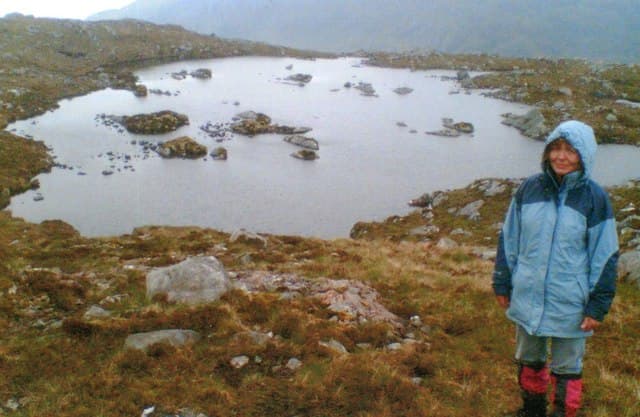
Meall nan Eun (928m) — "hill of the birds" — is the easternmost of the upper Glen Etive four, sitting east of Stob Coir' an Albannaich on the watershed between Glen Etive and the Black Mount. The hill is a broad, gently-sloped summit usually combined with Stob Coir' an Albannaich on a long Glen Etive day from Coileitir. The hill is one of the quieter Glen Etive Munros, with much less traffic than Ben Starav.
Quick facts
- Height
- 928.1m/ 3045ft
- Prominence
- 175 m
- Distance
- 16 km
- Ascent
- 817 m
- Time
- 5–8 hrs
- Grid ref
- NN192449
- Parking
- NN137468
- Nearest city
- Fort William· 30km
- Dogs
- Dogs on lead required near livestockDog-friendly guide ↗
Height and prominence cross-checked against the Database of British and Irish Hills (CC BY).
No GPX track yet
Walked this route? Share your track to help other walkers.
Standard route
Victoria Bridge track 35% · Open moorland 40% · Summit 25%
Approach via the Allt Mheuran path from Coileitir in Glen Etive (see Stob Coir' an Albannaich). After topping out on Albannaich descend south-east to the linking bealach, then ascend east up the long whaleback to the Meall nan Eun cairn. Return down Glen Ceitlein on the south-east flank back to the Glen Etive road. Reckon on around 18km and 1350m climbed for the pair.
Terrain
The bealach east of Stob Coir' an Albannaich is broad and grassy. The west ridge of Meall nan Eun is broad heather and short grass. The summit area is a flat broad top with a small cairn. The descent into Glen Ceitlein on the south-east side is rough heathery hillside.
In winter
A committing Glen Etive winter undertaking. Easterly aspects accumulate wind-slab in westerly storms and the linking bealach to Albannaich drifts deeply. The single-track Glen Etive road can be snow-blocked at short notice and there is no phone coverage throughout the glen. SAIS Glencoe forecasts cover the area.
This hill is in the Glen Coe SAIS forecast area. Check SAIS forecasts in winter (December–April).
Best time of year
Getting there
- Glasgow2h 53m
- Edinburgh3h 43m
OS maps: OS Landranger 50
Mobile signal: Zero signal above 700m in Glen Etive or the Black Mount. Bridge of Orchy has 4G. Cache maps ahead of heading out.
Current conditions
Daylight Today
- Sunrise
- 05:04
- Sunset
- 21:49
- Civil dawn
- 04:10
- Civil dusk
- 22:43
NOAA Solar Calculator · 23 July 2026
Pair with
Curated multi-hill combinations from Meall nan Eun.
Around Meall nan Eun on the SCOT network
Getting there, basing yourself, and what to do off the hill.
Getting there: Bridge of Orchy station
Black Mount; Beinn Dorain, Beinn an Dothaidh, Beinn Achaladair, Beinn a Chreachain
12km from the hill
tripscot.co.uk
On TripSCOTBase yourself in Fort William
Ben Nevis base, West Highland Line, gateway to Lochaber
30km from the hill
tripscot.co.uk
Meall nan Eun — common questions
- How difficult is Meall nan Eun?
- Meall nan Eun carries a 3/5 (moderately challenging) grade on the OutdoorSCOT scale. Count on about 16km, 817m of ascent and a 5-8 hour day on the standard route. Terrain: The bealach east of Stob Coir' an Albannaich is broad and grassy.
- How prominent is Meall nan Eun?
- Meall nan Eun has 175m of topographic prominence — the height of its summit above the highest col connecting it to higher ground.
- Where should I park to climb Meall nan Eun?
- Standard parking is at NN137468. Check the parking grid reference on an OS map before travel; informal laybys can fill on summer weekends.
- When should I climb Meall nan Eun?
- The standard good-weather months for Meall nan Eun are May, June, July, August, September, October. Outside those months, expect winter conditions on the high ground — full mountain kit, navigation skills, and a check of the SAIS avalanche forecast for the relevant region.
- Can I bring my dog up Meall nan Eun?
- On a lead only — the route crosses ground with livestock or nesting-bird interest.
- What's mobile reception like on Meall nan Eun?
- Zero signal above 700m in Glen Etive or the Black Mount. Bridge of Orchy has 4G. Cache maps ahead of heading out.
- Is Meall nan Eun safe in winter?
- A committing Glen Etive winter undertaking. Easterly aspects accumulate wind-slab in westerly storms and the linking bealach to Albannaich drifts deeply. The single-track Glen Etive road can be snow-blocked at short notice and there is no phone coverage throughout the glen. SAIS Glencoe forecasts cover the area.
Get the OutdoorSCOT weekly
One email a week — new route, hill and bothy guides, seasonal conditions and the odd hard-won lesson. No spam, unsubscribe in one click.