Corbett · Glen Coe
Stob Dubh
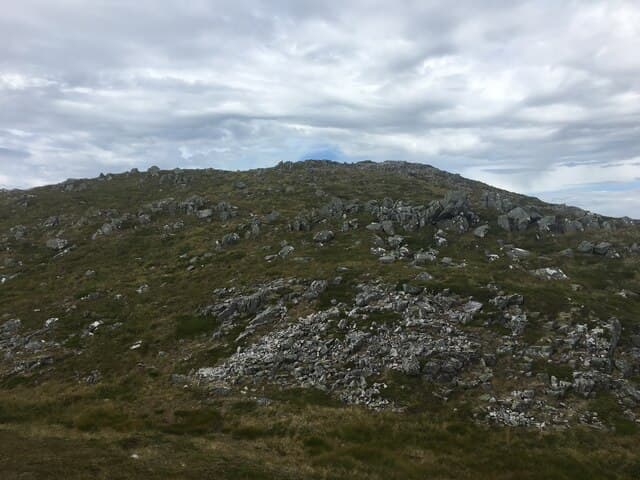
Stob Dubh — the dark peak — is the high point of Beinn Ceitlein, the long shapely Corbett rising directly above the Glen Etive road south of the Buachaille. At 883m it sits near the top of the Corbett list and gives an unforgettable ridge walk along its sharp north-east arête, with the Glen Etive crags falling away on one side and Coire Cloich-finne on the other. The mountain is visible from Glen Coe as the eastern wall of the lower Etive valley, and the standard ascent makes a fine half-day from any base in the area.
Gaelic: “pointed peak, black” · Pronunciation: stob doo
Quick facts
- Height
- 883m/ 2897ft
- Prominence
- 521 m
- Distance
- 9 km
- Ascent
- 870 m
- Time
- 3–5 hrs
- Grid ref
- NN166488
- Parking
- NN137468
- Nearest city
- Fort William· 26km
- Dogs
- Dogs on lead required near livestockDog-friendly guide ↗
Height and prominence cross-checked against the Database of British and Irish Hills (CC BY).
No GPX track yet
Walked this route? Share your track to help other walkers.
Standard route
glen floor 15% · steep grass 40% · rocky ridge 35% · summit rocks 10%
Park at the bridge over the Allt Ceitlein in Glen Etive (NN137468), around 6km down the glen from the A82. Cross the bridge and follow a vague path up the north flanks of Beinn Ceitlein, gaining the broad south-west ridge. The route follows the ridge over Stob Dubh's south top, with the final summit a short walk along the narrow connecting crest. Descent reverses the line. Allow 5–6 hours.
Terrain
Steep grass and heather on the ascent — relentlessly steep but on grass for most of it. The summit ridge is narrow but well-defined; in clear weather the line is obvious. Some short rocky steps near the top. The Glen Etive road in is single-track and can be slow in summer.
In winter
Stob Dubh in firm winter conditions is a fine narrow ridge day — the crest develops cornices on the south side that need careful avoidance. Avalanche-prone in wet snow on the steep north flank. The Glen Etive road can hold snow and ice; it is rarely ploughed. A serious winter mountaineering hill despite the moderate length.
This hill is in the Glen Coe SAIS forecast area. Check SAIS forecasts in winter (December–April).
Best time of year
Getting there
- Glasgow2h 59m
- Edinburgh3h 49m
OS maps: OS Landranger 50
Mobile signal: No signal in Glen Etive; some brief coverage on the high ground with eastern views
Current conditions
Daylight Today
- Sunrise
- 04:48
- Sunset
- 22:04
- Civil dawn
- 03:48
- Civil dusk
- 23:03
NOAA Solar Calculator · 13 July 2026
Pair with
Curated multi-hill combinations from Stob Dubh.
Around Stob Dubh on the SCOT network
Getting there, basing yourself, and what to do off the hill.
Getting there: Bridge of Orchy station
Black Mount; Beinn Dorain, Beinn an Dothaidh, Beinn Achaladair, Beinn a Chreachain
16km from the hill
tripscot.co.uk
On TripSCOTBase yourself in Fort William
Ben Nevis base, West Highland Line, gateway to Lochaber
26km from the hill
tripscot.co.uk
On TasteSCOTAfter the hill: Ben Nevis Distillery
Fort William — Lochaber distillery at the foot of the Ben; long-aged Japanese-owned classics
28km from the hill
tastescot.co.uk
Stob Dubh — common questions
- How difficult is Stob Dubh?
- Stob Dubh carries a 2/5 (moderate) grade on the OutdoorSCOT scale. Count on about 9km, 870m of ascent and a 3-5 hour day on the standard route. Underfoot: Steep grass and heather on the ascent — relentlessly steep but on grass for most of it.
- What is Stob Dubh's prominence?
- 521m of prominence. That's the vertical drop from the summit to the col that links Stob Dubh to the next higher ground.
- Where do I park for Stob Dubh?
- Most walkers start from NN137468. Verify the grid reference on an OS map before you set off — space is tight on busy summer weekends.
- When is the best time to climb Stob Dubh?
- May, June, July, August, September, October give the most reliable conditions on Stob Dubh. Beyond that window the high ground turns wintry: carry full mountain kit, be confident navigating, and check the SAIS avalanche forecast for the area.
- Is Stob Dubh dog-friendly?
- Yes, but dogs must be kept on a lead — there is livestock or ground-nesting bird interest on the route.
- Is there mobile signal on Stob Dubh?
- No signal in Glen Etive; some brief coverage on the high ground with eastern views
- Is Stob Dubh safe in winter?
- Stob Dubh in firm winter conditions is a fine narrow ridge day — the crest develops cornices on the south side that need careful avoidance. Avalanche-prone in wet snow on the steep north flank. The Glen Etive road can hold snow and ice; it is rarely ploughed. A serious winter mountaineering hill despite the moderate length.
Get the OutdoorSCOT weekly
One email a week — new route, hill and bothy guides, seasonal conditions and the odd hard-won lesson. No spam, unsubscribe in one click.