Graham · North-West Highlands
Suilven
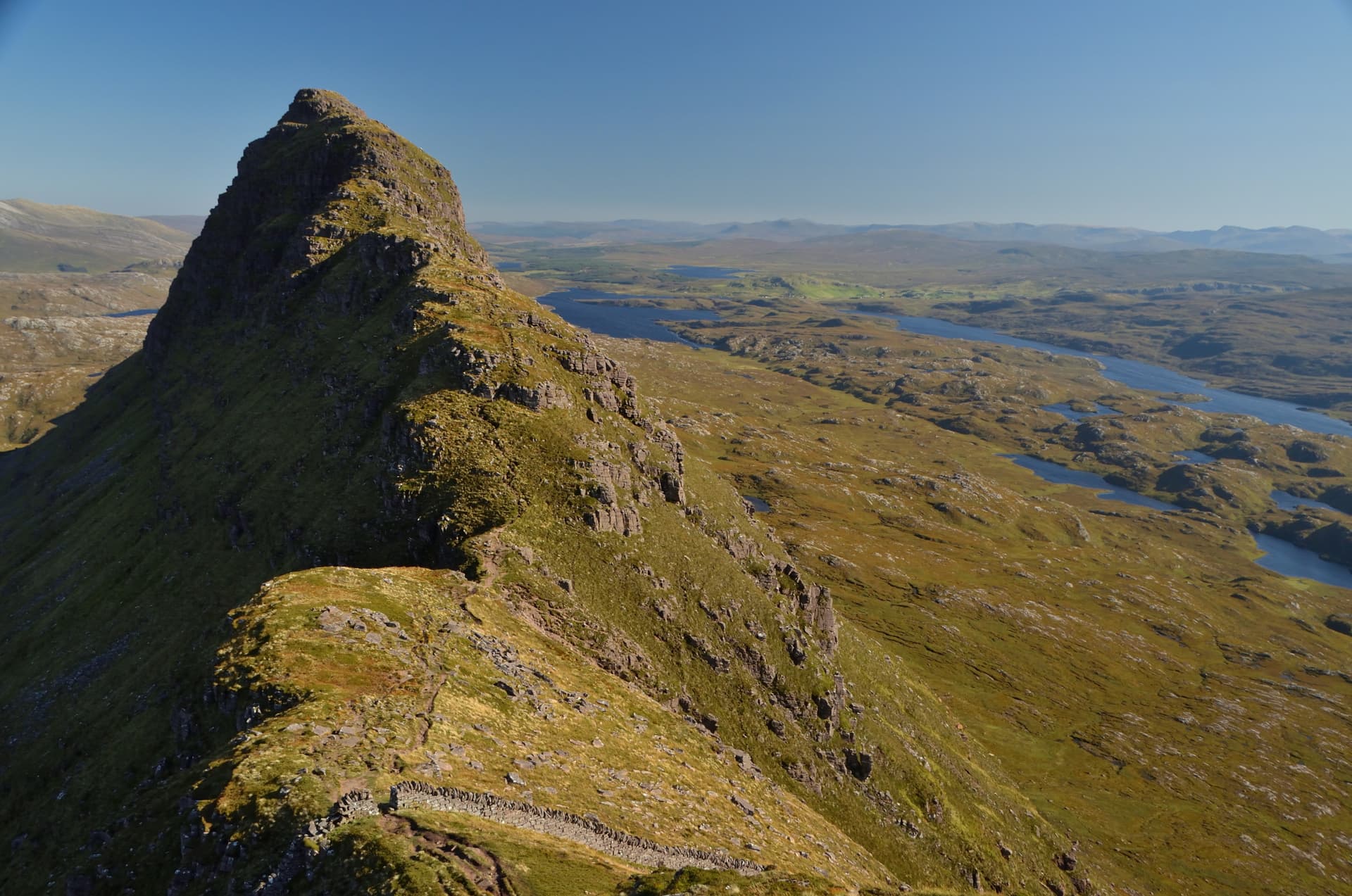
The most distinctive mountain in Britain — an isolated sandstone dome rising sheer from the lochan-strewn moors of Inverpolly. The walk-in is long but the summit experience is one of the best in Scotland.
Quick facts
- Height
- 731.4m/ 2400ft
- Prominence
- 496 m
- Distance
- ~22 km
- Ascent
- ~760 m
- Time
- 6–10 hrs
- Grid ref
- NC153183
- Parking
- NC108220
- Nearest
- Ullapool· Inverness 89km
- Dogs
- Dogs on lead required near livestockDog-friendly guide ↗
Height and prominence cross-checked against the Database of British and Irish Hills (CC BY).
No GPX track yet
Walked this route? Share your track to help other walkers.
Standard route
moorland path 30% · rough heather 20% · gully ascent 30% · summit ridge 20%
Long approach from Glencanisp Lodge near Lochinver. Eight kilometres along the river path before the steep climb up the Bealach Mor and on to the summit ridge.
Terrain
Long approach on a stalker's path. Steep loose pull to the bealach. Easy ridge walk to the summit.
In winter
Long approach makes winter a major undertaking. Cornices on the summit ridge in cold winters.
Kit for this: the winter Munro kit list · which boots take crampons
Best time of year
Getting there
- Glasgow5h 5m
- Edinburgh5h 10m
OS maps: OS Explorer 442
Mobile signal: No signal anywhere near Suilven — deep Assynt wilderness
Current conditions
Daylight Today
- Sunrise
- 07:53
- Sunset
- 18:20
- Civil dawn
- 07:13
- Civil dusk
- 19:00
NOAA Solar Calculator · 14 October 2026
Pair with
Curated multi-hill combinations from Suilven.
Around Suilven on the SCOT network
Getting there, basing yourself, and what to do off the hill.
Suilven — common questions
- What difficulty is Suilven?
- On the OutdoorSCOT scale, Suilven comes in at 4/5 — challenging. Expect roughly 22km and 760m of ascent on the usual route — 6-10 hours for most parties. Terrain: Long approach on a stalker's path.
- How prominent is Suilven?
- Suilven has 496m of topographic prominence — the height of its summit above the highest col connecting it to higher ground.
- Where should I park to climb Suilven?
- Standard parking is at NC108220 near Ullapool. Check the parking grid reference on an OS map before travel; informal laybys can fill on summer weekends.
- When should I climb Suilven?
- The standard good-weather months for Suilven are May, June, July, August, September. Outside those months, expect winter conditions on the high ground — full mountain kit, navigation skills, and a check of the SAIS avalanche forecast for the relevant region.
- Can I bring my dog up Suilven?
- On a lead only — the route crosses ground with livestock or nesting-bird interest.
- What's mobile reception like on Suilven?
- No signal anywhere near Suilven — deep Assynt wilderness
- Is Suilven safe in winter?
- Long approach makes winter a major undertaking. Cornices on the summit ridge in cold winters.
Get the OutdoorSCOT weekly
One email a week — new route, hill and bothy guides, seasonal conditions and the odd hard-won lesson. No spam, unsubscribe in one click.