Corbett · Far North
Quinag - Sail Ghorm (Sail Gorm)
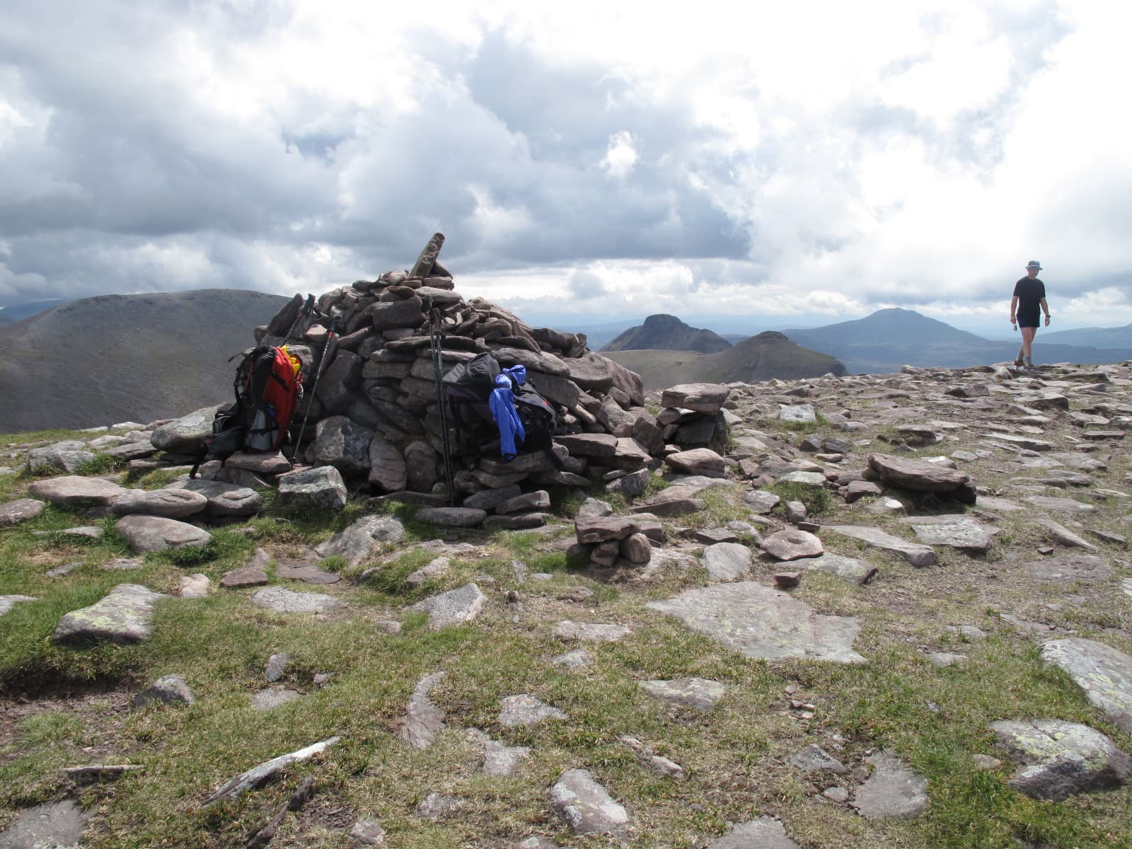
Sail Ghorm — the blue heel — is the northern arm of Quinag's three-pronged ridge, completing the Y-shape with Sail Gharbh to the east and Spidean Coinich at the southern apex. The summit sits at the end of a long sandstone ridge running north from the central bealach, with the sea-loch country of Eddrachillis Bay laid out below. Most parties combine Sail Ghorm with Sail Gharbh — the natural pair — and the full Quinag traverse including Spidean Coinich features as one of the very best Sutherland ridge days.
Quick facts
- Height
- 776m/ 2546ft
- Prominence
- 158 m
- Distance
- 14 km
- Ascent
- 950 m
- Time
- 4–7 hrs
- Grid ref
- NC198304
- Parking
- NC233274
- Nearest
- Ullapool· Inverness 97km
- Dogs
- Dogs on lead required near livestockDog-friendly guide ↗
Height and prominence cross-checked against the Database of British and Irish Hills (CC BY).
No GPX track yet
Walked this route? Share your track to help other walkers.
Standard route
bog path 20% · sandstone path 35% · rocky ridge 35% · summit rocks 10%
Park at the John Muir Trust car park on the A894 at NC233274. Follow the JMT-rebuilt path west then north onto the central bealach of Quinag. From the bealach, the north arm of the ridge leads to Sail Gharbh first; from Sail Gharbh, drop back to the bealach below the central tower and continue north over rocky ground to Sail Ghorm. Most parties also include Spidean Coinich on the same day for the full traverse. For Sail Ghorm alone, allow 5–6 hours; for the full Quinag traverse, 7–8.
Terrain
Excellent pitched JMT path on the approach — among the best-built in Sutherland. The upper ridge is firm Torridonian sandstone, blocky in places but rarely loose. Sail Ghorm's ridge has a few steeper steps and a sense of exposure on either side; in cloud, navigation between the three Quinag tops needs care.
In winter
Winter on Quinag is a major undertaking with the full traverse becoming a serious mountaineering day. The pitched JMT path holds snow late, the ridges develop cornices, and the descent from any of the three tops in poor visibility is committing. When the conditions line up — firm snow, clear sky, low light raking the sandstone — Quinag traversed end to end is among the most photographed winter ridge walks in Sutherland for good reason.
Best time of year
Getting there
- Glasgow5h 9m
- Edinburgh5h 20m
OS maps: OS Landranger 15
Mobile signal: No signal on the Quinag ridge; brief EE/Vodafone on the A894 between Skiag Bridge and Kylesku
Current conditions
Daylight Today
- Sunrise
- 04:42
- Sunset
- 22:11
- Civil dawn
- 03:38
- Civil dusk
- 23:15
NOAA Solar Calculator · 17 July 2026
Pair with
Curated multi-hill combinations from Quinag - Sail Ghorm (Sail Gorm).
On a long-distance route
Quinag - Sail Ghorm (Sail Gorm) sits within 5km of these named long-distance walks — useful for trail-pack rest days or section extensions.
Around Quinag - Sail Ghorm (Sail Gorm) on the SCOT network
Getting there, basing yourself, and what to do off the hill.
Quinag - Sail Ghorm (Sail Gorm) — common questions
- How hard is Quinag - Sail Ghorm (Sail Gorm)?
- We grade Quinag - Sail Ghorm (Sail Gorm) at 3/5, which puts it in moderately challenging territory. The usual route is around 14km with 950m of climbing; allow 4-7 hours. Ground conditions: Excellent pitched JMT path on the approach — among the best-built in Sutherland.
- How much drop does Quinag - Sail Ghorm (Sail Gorm) have?
- The drop is 158m: measured from the summit of Quinag - Sail Ghorm (Sail Gorm) down to the saddle joining it to higher terrain.
- Where's the parking for Quinag - Sail Ghorm (Sail Gorm)?
- Park at NC233274 near Ullapool. Double-check the grid reference on an OS map first; informal laybys here fill early in high season.
- What's the best month to climb Quinag - Sail Ghorm (Sail Gorm)?
- Aim for May, June, July, August, September on Quinag - Sail Ghorm (Sail Gorm). In the remaining months treat it as a winter hill — full kit, solid navigation, and a look at the relevant SAIS avalanche forecast before you go.
- Can dogs go up Quinag - Sail Ghorm (Sail Gorm)?
- Dogs are fine on a lead. The route passes livestock or ground-nesting bird habitat, so keep them close throughout.
- Will I get phone signal on Quinag - Sail Ghorm (Sail Gorm)?
- No signal on the Quinag ridge; brief EE/Vodafone on the A894 between Skiag Bridge and Kylesku
- Is Quinag - Sail Ghorm (Sail Gorm) safe in winter?
- Winter on Quinag is a major undertaking with the full traverse becoming a serious mountaineering day. The pitched JMT path holds snow late, the ridges develop cornices, and the descent from any of the three tops in poor visibility is committing. When the conditions line up — firm snow, clear sky, low light raking the sandstone — Quinag traversed end to end is among the most photographed winter ridge walks in Sutherland for good reason.
Get the OutdoorSCOT weekly
One email a week — new route, hill and bothy guides, seasonal conditions and the odd hard-won lesson. No spam, unsubscribe in one click.