Graham · Kintail
Meall nan Eun
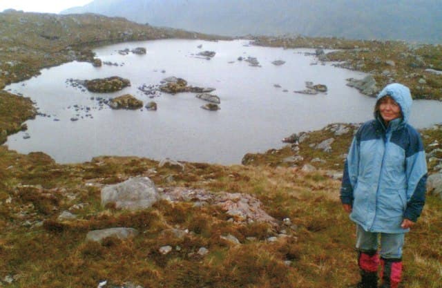
Meall nan Eun (667m) — the hill of the birds — sits in the wild moorland between Loch Hourn and Loch Quoich in the NG90 square, on the rugged north side of the Knoydart peninsula approach. The summit boulder, perched on a Lewisian gneiss outcrop, looks out over the sea at Kinloch Hourn to the Skye Cuillin on the far horizon.
Quick facts
- Height
- 667m/ 2188ft
- Prominence
- 174 m
- Distance
- 13 km
- Ascent
- 547 m
- Time
- 4–6 hrs
- Grid ref
- NG903052
- Parking
- NG914051
- Nearest city
- Fort William· 37km
- Dogs
- Dogs on lead required near livestockDog-friendly guide ↗
Height and prominence cross-checked against the Database of British and Irish Hills (CC BY).
No GPX track yet
Walked this route? Share your track to help other walkers.
Standard route
heather moorland 60% · bog and wet grass 25% · grassy summit 15%
Park at the road end at Kinloch Hourn — a tortuous single-track drive in itself. Follow the coastal path west toward Barrisdale for around 3km, then climb the steep heather slopes directly north onto the broad ridge. The summit boulder appears beyond a series of false tops; the descent reverses the line back to the loch shore.
Terrain
Coastal path through bracken and birch, then a sustained tussock climb on the open hillside. The upper ridge is broken Lewisian gneiss with grassy steps between outcrops. Pathless above the loch with a series of false summits guarding the cairn.
In winter
Knoydart winters bring heavy wet snow and Atlantic gales. Meall nan Eun is exposed on its western flank but the gneiss summit area is generally wind-scoured. The Kinloch Hourn road becomes treacherous in any snowfall and is best avoided in winter conditions altogether.
Best time of year
Getting there
- Glasgow3h 0m
- Edinburgh4h 37m
OS maps: OS Landranger 33
Mobile signal: Expect little. Remote Loch Tulla area; coverage here is marginal.
Current conditions
Daylight Today
- Sunrise
- 04:52
- Sunset
- 22:04
- Civil dawn
- 03:53
- Civil dusk
- 23:03
NOAA Solar Calculator · 17 July 2026
Around Meall nan Eun on the SCOT network
Getting there, basing yourself, and what to do off the hill.
Meall nan Eun — common questions
- How difficult is Meall nan Eun?
- Meall nan Eun carries a 3/5 (moderately challenging) grade on the OutdoorSCOT scale. Count on about 13km, 547m of ascent and a 4-6 hour day on the standard route. Terrain: Coastal path through bracken and birch, then a sustained tussock climb on the open hillside.
- How prominent is Meall nan Eun?
- Meall nan Eun has 174m of topographic prominence — the height of its summit above the highest col connecting it to higher ground.
- Where should I park to climb Meall nan Eun?
- Standard parking is at NG914051. Check the parking grid reference on an OS map before travel; informal laybys can fill on summer weekends.
- When should I climb Meall nan Eun?
- The standard good-weather months for Meall nan Eun are May, June, July, August, September. Outside those months, expect winter conditions on the high ground — full mountain kit, navigation skills, and a check of the SAIS avalanche forecast for the relevant region.
- Can I bring my dog up Meall nan Eun?
- On a lead only — the route crosses ground with livestock or nesting-bird interest.
- What's mobile reception like on Meall nan Eun?
- Expect little. Remote Loch Tulla area; coverage here is marginal.
- Is Meall nan Eun safe in winter?
- Knoydart winters bring heavy wet snow and Atlantic gales. Meall nan Eun is exposed on its western flank but the gneiss summit area is generally wind-scoured. The Kinloch Hourn road becomes treacherous in any snowfall and is best avoided in winter conditions altogether.
Get the OutdoorSCOT weekly
One email a week — new route, hill and bothy guides, seasonal conditions and the odd hard-won lesson. No spam, unsubscribe in one click.