Graham · Far North
Carn an Tionail
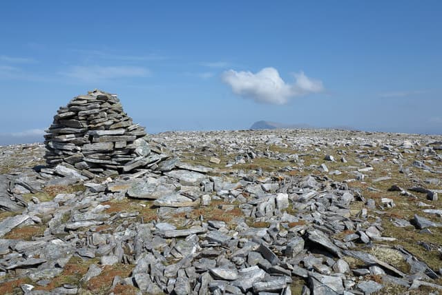
A stony rise on the high ground between Loch Choire and Loch Naver in central Sutherland, looking south toward Ben Klibreck and north across the great empty interior. The summit is unprepossessing but the position commands an enormous sweep of the Flow Country.
Quick facts
- Height
- 758.5m/ 2489ft
- Prominence
- 209 m
- Distance
- 14 km
- Ascent
- 622 m
- Time
- 4–7 hrs
- Grid ref
- NC392390
- Parking
- NC395440
- Nearest
- Ullapool· Inverness 97km
- Dogs
- Dogs on lead required near livestockDog-friendly guide ↗
Height and prominence cross-checked against the Database of British and Irish Hills (CC BY).
No GPX track yet
Walked this route? Share your track to help other walkers.
Standard route
glen track 30% · rough heather 40% · grassy ridge 20% · summit area 10%
Park near the bridge by Loch Choire Lodge and follow the estate track north along the loch before striking up the heathery west flank. No path on the open hillside but the gradient is moderate throughout.
Terrain
Long approach on good vehicle track, then trackless tussock and short heather above. Peat hags on the broad summit plateau need careful threading.
In winter
Daylight is critically short in mid-winter this far north. Snow cover varies but the windswept summit often clears of snow while the lower peat ground freezes hard — eye protection useful against ground-blown spindrift.
Best time of year
Getting there
- Glasgow5h 16m
- Edinburgh5h 21m
OS maps: OS Landranger 16
Mobile signal: Signal absent in this remote Monar area
Current conditions
Daylight Today
- Sunrise
- 04:34
- Sunset
- 22:16
- Civil dawn
- 03:26
- Civil dusk
- 23:24
NOAA Solar Calculator · 13 July 2026
On a long-distance route
Carn an Tionail sits within 5km of these named long-distance walks — useful for trail-pack rest days or section extensions.
Around Carn an Tionail on the SCOT network
Getting there, basing yourself, and what to do off the hill.
Carn an Tionail — common questions
- How hard is Carn an Tionail?
- We grade Carn an Tionail at 4/5, which puts it in challenging territory. The usual route is around 14km with 622m of climbing; allow 4-7 hours. Ground conditions: Long approach on good vehicle track, then trackless tussock and short heather above.
- How much drop does Carn an Tionail have?
- The drop is 209m: measured from the summit of Carn an Tionail down to the saddle joining it to higher terrain.
- Where's the parking for Carn an Tionail?
- Park at NC395440 near Ullapool. Double-check the grid reference on an OS map first; informal laybys here fill early in high season.
- What's the best month to climb Carn an Tionail?
- Aim for May, June, July, August, September on Carn an Tionail. In the remaining months treat it as a winter hill — full kit, solid navigation, and a look at the relevant SAIS avalanche forecast before you go.
- Can dogs go up Carn an Tionail?
- Dogs are fine on a lead. The route passes livestock or ground-nesting bird habitat, so keep them close throughout.
- Will I get phone signal on Carn an Tionail?
- Signal absent in this remote Monar area
- Is Carn an Tionail safe in winter?
- Daylight is critically short in mid-winter this far north. Snow cover varies but the windswept summit often clears of snow while the lower peat ground freezes hard — eye protection useful against ground-blown spindrift.
Get the OutdoorSCOT weekly
One email a week — new route, hill and bothy guides, seasonal conditions and the odd hard-won lesson. No spam, unsubscribe in one click.