Donald · Southern Uplands
Blackcraig Hill
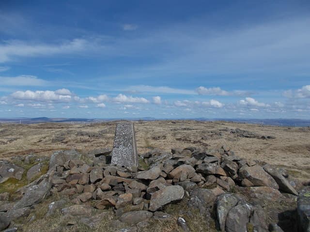
Blackcraig Hill stands above the Afton Water in East Ayrshire, on the wild moorland watershed between Glen Afton and Glen Muck. A modest cairn sits atop a flat grassy crown, with the famous bowl of Glen Afton — Burns's "sweet Afton" — falling away on the eastern side.
Quick facts
- Height
- 700.9m/ 2300ft
- Prominence
- 235 m
- Distance
- 13 km
- Ascent
- 574 m
- Time
- 3–6 hrs
- Grid ref
- NS647064
- Parking
- NX608981
- Nearest city
- Dumfries· 44km
- Dogs
- Dogs on lead required near livestockDog-friendly guide ↗
Height and prominence cross-checked against the Database of British and Irish Hills (CC BY).
No GPX track yet
Walked this route? Share your track to help other walkers.
Standard route
grass moorland 70% · heather slopes 20% · summit plateau 10%
A pleasant approach starts at the Afton Reservoir dam, taking the track south up the Afton Water and breaking off west onto the heather shoulder. Alternatively park at Polskeoch in the Scaur Water and tackle the long ridge from there.
Terrain
Heather and white grass moor, fissured with peat groughs near the summit. The estate has put in shooting tracks on the lower flanks; useful in dry weather, mud-pits in wet.
In winter
Sits in the wettest belt of the Southern Uplands and gets thumped by Atlantic fronts. Snow rarely persists below the summit but freezing fog plasters every fence post and tussock with hard rime in February.
Best time of year
Getting there
- Glasgow1h 25m
- Edinburgh2h 56m
OS maps: OS Landranger 71, OS Landranger 77
Mobile signal: Good signal throughout; EE and Vodafone behave. Southern Uplands viewpoint.
Current conditions
Daylight Today
- Sunrise
- 04:53
- Sunset
- 21:52
- Civil dawn
- 03:58
- Civil dusk
- 22:47
NOAA Solar Calculator · 13 July 2026
Pair with
Curated multi-hill combinations from Blackcraig Hill.
Around Blackcraig Hill on the SCOT network
Getting there, basing yourself, and what to do off the hill.
Blackcraig Hill — common questions
- How hard is Blackcraig Hill?
- We grade Blackcraig Hill at 3/5, which puts it in moderately challenging territory. The usual route is around 13km with 574m of climbing; allow 3-6 hours. Underfoot: Heather and white grass moor, fissured with peat groughs near the summit.
- What is Blackcraig Hill's prominence?
- 235m of prominence. That's the vertical drop from the summit to the col that links Blackcraig Hill to the next higher ground.
- Where do I park for Blackcraig Hill?
- Most walkers start from NX608981. Verify the grid reference on an OS map before you set off — space is tight on busy summer weekends.
- When is the best time to climb Blackcraig Hill?
- April, May, June, July, August, September, October give the most reliable conditions on Blackcraig Hill. Beyond that window the high ground turns wintry: carry full mountain kit, be confident navigating, and check the SAIS avalanche forecast for the area.
- Is Blackcraig Hill dog-friendly?
- Yes, but dogs must be kept on a lead — there is livestock or ground-nesting bird interest on the route.
- Is there mobile signal on Blackcraig Hill?
- Good signal throughout; EE and Vodafone behave. Southern Uplands viewpoint.
- Is Blackcraig Hill safe in winter?
- Sits in the wettest belt of the Southern Uplands and gets thumped by Atlantic fronts. Snow rarely persists below the summit but freezing fog plasters every fence post and tussock with hard rime in February.
Get the OutdoorSCOT weekly
One email a week — new route, hill and bothy guides, seasonal conditions and the odd hard-won lesson. No spam, unsubscribe in one click.