Corbett · Far North
Breabag
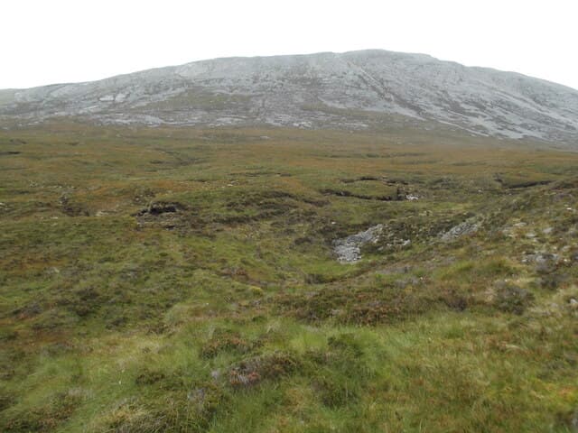
Breabag is the long limestone-and-quartzite ridge rising above Inchnadamph in central Assynt, the highest point in the limestone country that supports the Inchnadamph caves and the famous Allt nan Uamh "Bone Caves". At 815m the summit is a stony cairn at the high point of a 4km undulating crest, with one of the most distinctive geological setups in Britain — the Moine Thrust passes directly beneath the hill, exposing ancient Lewisian gneiss against young Cambrian quartzite within a few metres of each other.
Quick facts
- Height
- 815m/ 2674ft
- Prominence
- 307 m
- Distance
- 15 km
- Ascent
- 717 m
- Time
- 5–8 hrs
- Grid ref
- NC286157
- Parking
- NC256178
- Nearest
- Ullapool· Inverness 80km
- Dogs
- Dogs on lead required near livestockDog-friendly guide ↗
Height and prominence cross-checked against the Database of British and Irish Hills (CC BY).
No GPX track yet
Walked this route? Share your track to help other walkers.
Standard route
cave path 25% · limestone pavement 25% · quartzite scree 30% · broken ridge 20%
Start from the small parking area at Allt nan Uamh on the A837 south of Inchnadamph and follow the path past the Bone Caves up Gleann Dubh. After around 4km the path peters out; climb east up rough quartzite scree onto the south-west ridge of Breabag and follow it north over several minor tops to the highest cairn. Around 15km return with 717m of ascent. Often combined with Conival via the high col, though that adds a Munro and 4km.
Terrain
The Bone Caves path is well-built and clear; past the caves the going turns to pathless limestone pavement with hidden grikes and small drops underfoot — placement matters. The quartzite of the upper ridge is loose scree on the climb and broken blocks along the crest. The undulating top has multiple bumps that confuse in mist. No exposure proper but plenty of awkward ground.
In winter
A serious winter Corbett — the limestone pavement around the lower slopes becomes treacherous when iced, with frozen pools concealing the grikes beneath. The quartzite ridge holds drift and cornicing on the east side. The Inchnadamph road is gritted but the side-road to Allt nan Uamh ices over. Most parties save Breabag for stable dry winter conditions.
Best time of year
Getting there
- Glasgow5h 51m
- Edinburgh5h 0m
OS maps: OS Landranger 15
Mobile signal: Intermittent at Inchnadamph; nothing on the hill
Current conditions
Daylight Today
- Sunrise
- 04:36
- Sunset
- 22:15
- Civil dawn
- 03:29
- Civil dusk
- 23:21
NOAA Solar Calculator · 13 July 2026
Pair with
Curated multi-hill combinations from Breabag.
Around Breabag on the SCOT network
Getting there, basing yourself, and what to do off the hill.
Breabag — common questions
- How difficult is Breabag?
- Breabag carries a 3/5 (moderately challenging) grade on the OutdoorSCOT scale. Count on about 15km, 717m of ascent and a 5-8 hour day on the standard route. Ground conditions: The Bone Caves path is well-built and clear; past the caves the going turns to pathless limestone pavement with hidden grikes and small drops underfoot — placement matters.
- How much drop does Breabag have?
- The drop is 307m: measured from the summit of Breabag down to the saddle joining it to higher terrain.
- Where's the parking for Breabag?
- Park at NC256178 near Ullapool. Double-check the grid reference on an OS map first; informal laybys here fill early in high season.
- What's the best month to climb Breabag?
- Aim for May, June, July, August, September on Breabag. In the remaining months treat it as a winter hill — full kit, solid navigation, and a look at the relevant SAIS avalanche forecast before you go.
- Can dogs go up Breabag?
- Dogs are fine on a lead. The route passes livestock or ground-nesting bird habitat, so keep them close throughout.
- Will I get phone signal on Breabag?
- Intermittent at Inchnadamph; nothing on the hill
- Is Breabag safe in winter?
- A serious winter Corbett — the limestone pavement around the lower slopes becomes treacherous when iced, with frozen pools concealing the grikes beneath. The quartzite ridge holds drift and cornicing on the east side. The Inchnadamph road is gritted but the side-road to Allt nan Uamh ices over. Most parties save Breabag for stable dry winter conditions.
Get the OutdoorSCOT weekly
One email a week — new route, hill and bothy guides, seasonal conditions and the odd hard-won lesson. No spam, unsubscribe in one click.