Graham · Central Highlands
Beinn Tharsuinn
Beinn Tharsuinn (692m) at NH60 is the rough crossways-hill of Strathrory in Easter Ross, lying between Alness and Bonar Bridge above the headwaters of the River Rory. With 353m of clean re-ascent it stands well clear of the surrounding moors and its long east-facing scarp catches the morning sun. The summit is bare-ground peat above a fringe of heathery shoulders.
Quick facts
- Height
- 692m/ 2270ft
- Prominence
- 353 m
- Distance
- 13 km
- Ascent
- 567 m
- Time
- 4–6 hrs
- Grid ref
- NH606792
- Parking
- NH569820
- Nearest city
- Inverness· 34km
- Dogs
- Dogs on lead required near livestockDog-friendly guide ↗
Height and prominence cross-checked against the Database of British and Irish Hills (CC BY).
No GPX track yet
Walked this route? Share your track to help other walkers.
Standard route
heather moorland 65% · grass slopes 25% · rocky summit 10%
From the road end at Strathrory Farm a rough track strikes north into Glen Skiach. After 3km leave the track and climb the broad west shoulder on tussock and shallow peat. A line of fence-posts assists the final pull onto the summit dome. Most parties return by the same line; an extension east drops to the Allt nan Caorach for a longer circuit.
Terrain
Quad-track approach across blanket bog and rough sedge moor, then a long pull through chest-high heather above the 350m contour. The west shoulder eases into peat hag and bare ground near the top. No path on the summit dome — the bare patch at the high point is the only obvious feature.
In winter
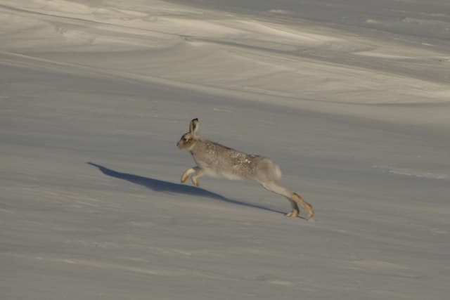
Easter Ross hills receive lighter snowfall than the west coast but the open ridge of Beinn Tharsuinn catches drifting in any easterly. The bare summit becomes a whiteout trap with no shelter for over 2km. Fence-posts on the west shoulder are reliable handrails once cover lies. Daylight at this NH60 latitude is under eight hours in late December.
This hill is in the Creag Meagaidh SAIS forecast area. Check SAIS forecasts in winter (December–April).
Best time of year
Getting there
- Glasgow4h 6m
- Edinburgh4h 8m
OS maps: OS Landranger 21
Mobile signal: Poor. Remote Strathfarrar; limited coverage even on the higher ground.
Current conditions
Daylight Today
- Sunrise
- 04:36
- Sunset
- 22:10
- Civil dawn
- 03:31
- Civil dusk
- 23:15
NOAA Solar Calculator · 13 July 2026
Around Beinn Tharsuinn on the SCOT network
Getting there, basing yourself, and what to do off the hill.
Getting there: Ardgay station
Kyle of Sutherland; Croick; Far North Line
11km from the hill
tripscot.co.uk
On TripSCOTBase yourself in Inverness
Highland capital — gateway to Cairngorms, Affric, Far North
35km from the hill
tripscot.co.uk
On TasteSCOTAfter the hill: The Dalmore
Alness — sherried Highland flagship; stately Cromarty Firth setting
11km from the hill
tastescot.co.uk
Beinn Tharsuinn — common questions
- How difficult is Beinn Tharsuinn?
- Beinn Tharsuinn carries a 4/5 (challenging) grade on the OutdoorSCOT scale. Count on about 13km, 567m of ascent and a 4-6 hour day on the standard route. Terrain: Quad-track approach across blanket bog and rough sedge moor, then a long pull through chest-high heather above the 350m contour.
- How prominent is Beinn Tharsuinn?
- Beinn Tharsuinn has 353m of topographic prominence — the height of its summit above the highest col connecting it to higher ground.
- Where should I park to climb Beinn Tharsuinn?
- Standard parking is at NH569820. Check the parking grid reference on an OS map before travel; informal laybys can fill on summer weekends.
- When should I climb Beinn Tharsuinn?
- The standard good-weather months for Beinn Tharsuinn are May, June, July, August, September. Outside those months, expect winter conditions on the high ground — full mountain kit, navigation skills, and a check of the SAIS avalanche forecast for the relevant region.
- Can I bring my dog up Beinn Tharsuinn?
- On a lead only — the route crosses ground with livestock or nesting-bird interest.
- What's mobile reception like on Beinn Tharsuinn?
- Poor. Remote Strathfarrar; limited coverage even on the higher ground.
- Is Beinn Tharsuinn safe in winter?
- Easter Ross hills receive lighter snowfall than the west coast but the open ridge of Beinn Tharsuinn catches drifting in any easterly. The bare summit becomes a whiteout trap with no shelter for over 2km. Fence-posts on the west shoulder are reliable handrails once cover lies. Daylight at this NH60 latitude is under eight hours in late December.
Get the OutdoorSCOT weekly
One email a week — new route, hill and bothy guides, seasonal conditions and the odd hard-won lesson. No spam, unsubscribe in one click.