Donald · Central Belt
Tarmangie Hill
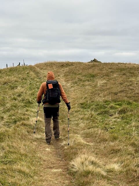
Tarmangie Hill is the eastern of the Ochil Donalds, on the high ridge above Glen Devon. The top is unmarked but for a worn patch in the moss six metres from the watershed fence. Views east stretch over Glen Devon to the Lomond Hills.
Quick facts
- Height
- 645m/ 2116ft
- Prominence
- 78 m
- Distance
- 12 km
- Ascent
- 700 m
- Time
- 4–5 hrs
- Grid ref
- NN942014
- Parking
- NN937015
- Nearest city
- Stirling· 17km
- Dogs
- Dogs on lead required near livestockDog-friendly guide ↗
Height and prominence cross-checked against the Database of British and Irish Hills (CC BY).
No GPX track yet
Walked this route? Share your track to help other walkers.
Standard route
grass slopes 65% · heather patches 25% · summit area 10%
From Dollar, climb past Castle Campbell and onto King's Seat Hill, then traverse east along the ridge. About 12km for the round with 700m of climb.
Terrain
Mossy grass on the rounded summit. The watershed fence is the navigation feature throughout the upper ridge.
In winter
Frozen mossy turf becomes treacherous. The Ochils trap freezing fog longer than the height suggests.
Best time of year
Getting there
- Glasgow1h 12m
- Edinburgh1h 0m
OS maps: OS Landranger 58
Mobile signal: Good summit signal; EE works well. Part of the Ochils above Dollar.
Current conditions
Daylight Today
- Sunrise
- 04:51
- Sunset
- 21:51
- Civil dawn
- 03:55
- Civil dusk
- 22:47
NOAA Solar Calculator · 17 July 2026
Around Tarmangie Hill on the SCOT network
Getting there, basing yourself, and what to do off the hill.
Getting there: Gleneagles station
Glen Devon; Ochil ridges; Auchterarder; PGA Centenary course access
12km from the hill
tripscot.co.uk
On TripSCOTBase yourself in Callander
Trossachs gateway — Ben Ledi, Stuc a Chroin, Rob Roy Way
32km from the hill
tripscot.co.uk
On TasteSCOTAfter the hill: Tullibardine
Blackford — central Highland distillery on the A9 between Stirling and Perth
8km from the hill
tastescot.co.uk
Tarmangie Hill — common questions
- How difficult is Tarmangie Hill?
- Tarmangie Hill carries a 3/5 (moderately challenging) grade on the OutdoorSCOT scale. Count on about 12km, 700m of ascent and a 4-5 hour day on the standard route. Underfoot: Mossy grass on the rounded summit.
- What is Tarmangie Hill's prominence?
- 78m of prominence. That's the vertical drop from the summit to the col that links Tarmangie Hill to the next higher ground.
- Where do I park for Tarmangie Hill?
- Most walkers start from NN937015. Verify the grid reference on an OS map before you set off — space is tight on busy summer weekends.
- When is the best time to climb Tarmangie Hill?
- March, April, May, June, July, August, September, October, November give the most reliable conditions on Tarmangie Hill. Beyond that window the high ground turns wintry: carry full mountain kit, be confident navigating, and check the SAIS avalanche forecast for the area.
- Is Tarmangie Hill dog-friendly?
- Yes, but dogs must be kept on a lead — there is livestock or ground-nesting bird interest on the route.
- Is there mobile signal on Tarmangie Hill?
- Good summit signal; EE works well. Part of the Ochils above Dollar.
- Is Tarmangie Hill safe in winter?
- Frozen mossy turf becomes treacherous. The Ochils trap freezing fog longer than the height suggests.
Get the OutdoorSCOT weekly
One email a week — new route, hill and bothy guides, seasonal conditions and the odd hard-won lesson. No spam, unsubscribe in one click.