Donald · Southern Uplands
Dun Law
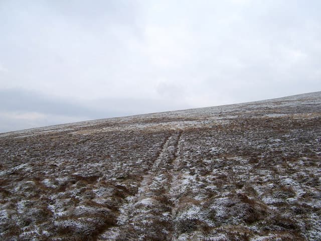
A quiet top on the rolling watershed between the Dalveen Pass and the upper Daer reservoir, Dun Law is one of the easier Lowther Donalds. A small heap of stones sits on a flattish plateau of sheep-cropped grass, with views east across the Daer to Queensberry.
Quick facts
- Height
- 675.7m/ 2217ft
- Prominence
- 104 m
- Grid ref
- NS916136
- Parking
- NS912134
- Nearest city
- Dumfries· 38km
- Dogs
- Dogs on lead required near livestockDog-friendly guide ↗
Height and prominence cross-checked against the Database of British and Irish Hills (CC BY).
No GPX track yet
Walked this route? Share your track to help other walkers.
Standard route
grass moorland 80% · heather patches 15% · summit area 5%
Approached from the A702 over the Dalveen Pass, or from the Daer Water reservoir road to the east. Around 8km return with 380m of climb from the road.
Terrain
Sheep tracks weave across short turf; the watershed fence makes line-of-sight navigation effortless.
In winter
Drifts pile up against the watershed fence in westerly storms. The road over Dalveen is usually first to close in heavy snow — plan an exit route.
Best time of year
Getting there
- Glasgow1h 27m
- Edinburgh2h 39m
OS maps: OS Landranger 71, OS Landranger 78
Mobile signal: Good summit signal; EE works well. Southern Uplands minor summit.
Current conditions
Daylight Today
- Sunrise
- 04:56
- Sunset
- 21:46
- Civil dawn
- 04:03
- Civil dusk
- 22:39
NOAA Solar Calculator · 17 July 2026
On a long-distance route
Dun Law sits within 5km of these named long-distance walks — useful for trail-pack rest days or section extensions.
Around Dun Law on the SCOT network
Getting there, basing yourself, and what to do off the hill.
Dun Law — common questions
- What difficulty is Dun Law?
- On the OutdoorSCOT scale, Dun Law comes in at 3/5 — moderately challenging. Ground conditions: Sheep tracks weave across short turf; the watershed fence makes line-of-sight navigation effortless.
- How much drop does Dun Law have?
- The drop is 104m: measured from the summit of Dun Law down to the saddle joining it to higher terrain.
- Where's the parking for Dun Law?
- Park at NS912134. Double-check the grid reference on an OS map first; informal laybys here fill early in high season.
- What's the best month to climb Dun Law?
- Aim for March, April, May, June, July, August, September, October, November on Dun Law. In the remaining months treat it as a winter hill — full kit, solid navigation, and a look at the relevant SAIS avalanche forecast before you go.
- Can dogs go up Dun Law?
- Dogs are fine on a lead. The route passes livestock or ground-nesting bird habitat, so keep them close throughout.
- Will I get phone signal on Dun Law?
- Good summit signal; EE works well. Southern Uplands minor summit.
- Is Dun Law safe in winter?
- Drifts pile up against the watershed fence in westerly storms. The road over Dalveen is usually first to close in heavy snow — plan an exit route.
Get the OutdoorSCOT weekly
One email a week — new route, hill and bothy guides, seasonal conditions and the odd hard-won lesson. No spam, unsubscribe in one click.