Corbett · Ardgour
Stob Coire a' Chearcaill
Stob Coire a' Chearcaill — 'the peak of the hooped corrie' — is the Corbett of the Ardgour peninsula directly opposite Fort William across Loch Linnhe. The 771m summit lays out a magnificent panorama of Ben Nevis, the Mamores and the Aonachs spread out across the loch — possibly the best single vantage point of the Lochaber Munros that does not involve climbing one of them. Despite the proximity to Fort William, the hill stays quiet because the short Corran Ferry hop adds enough friction to deter most parties.
Gaelic: “pointed peak, corrie, of the” · Pronunciation: stob kor-a uh chearcaill
Quick facts
- Height
- 771m/ 2530ft
- Prominence
- 575 m
- Distance
- 11 km
- Ascent
- 800 m
- Time
- 3–5 hrs
- Grid ref
- NN016726
- Parking
- NN058738
- Nearest city
- Fort William· 9km
- Dogs
- Dogs on lead required near livestockDog-friendly guide ↗
Height and prominence cross-checked against the Database of British and Irish Hills (CC BY).
No GPX track yet
Walked this route? Share your track to help other walkers.
Standard route
railway path 15% · rough heather 50% · grassy upper slopes 25% · summit area 10%
Take the Corran Ferry across Loch Linnhe (10 minutes, runs frequently), then drive a short distance north-west to a parking spot near Trislaig (NN058738). Follow the path west then north up open hillside, picking up faint stalkers' lines onto the eastern flanks of the hill. The route climbs steadily to the broad summit cairn. For a longer day, continue the ridge north over Sgùrr na h-Eanchainne. Descent retraces the line. Allow 5–6 hours plus ferry timings.
Terrain
Bracken-and-heather lower slopes — slow in summer growth, especially when the ferns have closed in by July. The middle section follows a faint stalkers' line which can be lost in cloud. The upper hill is grass and a few rocky steps; the summit is broad with a substantial cairn. Damp underfoot for most of the year — the Ardgour peninsula catches a lot of rain.
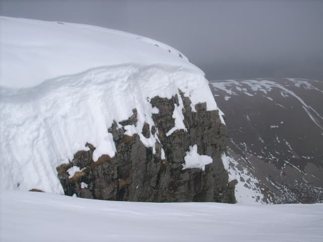
In winter
A useful winter day with a stunning Mamores backdrop. Snow lies intermittently because of the maritime location and modest elevation, but in firm cover the broad slope offers good winter walking. The Corran Ferry runs year-round but is occasionally cancelled in storms — check the timetable. No avalanche issues on the standard ascent line.
This hill is in the Glen Coe SAIS forecast area. Check SAIS forecasts in winter (December–April).
Best time of year
Getting there
- Glasgow3h 35m
- Edinburgh3h 3m
OS maps: OS Landranger 41
Mobile signal: No signal near Loch Treig/Tulloch area
Current conditions
Daylight Today
- Sunrise
- 04:53
- Sunset
- 22:01
- Civil dawn
- 03:55
- Civil dusk
- 22:59
NOAA Solar Calculator · 17 July 2026
Around Stob Coire a' Chearcaill on the SCOT network
Getting there, basing yourself, and what to do off the hill.
Getting there: Fort William station
Ben Nevis, Mamores, Aonachs, Knoydart ferry connection
9km from the hill
tripscot.co.uk
On TripSCOTBase yourself in Fort William
Ben Nevis base, West Highland Line, gateway to Lochaber
9km from the hill
tripscot.co.uk
On TasteSCOTAfter the hill: Ben Nevis Distillery
Fort William — Lochaber distillery at the foot of the Ben; long-aged Japanese-owned classics
11km from the hill
tastescot.co.uk
Stob Coire a' Chearcaill — common questions
- How difficult is Stob Coire a' Chearcaill?
- Stob Coire a' Chearcaill carries a 2/5 (moderate) grade on the OutdoorSCOT scale. Count on about 11km, 800m of ascent and a 3-5 hour day on the standard route. Terrain: Bracken-and-heather lower slopes — slow in summer growth, especially when the ferns have closed in by July.
- How prominent is Stob Coire a' Chearcaill?
- Stob Coire a' Chearcaill has 575m of topographic prominence — the height of its summit above the highest col connecting it to higher ground.
- Where should I park to climb Stob Coire a' Chearcaill?
- Standard parking is at NN058738. Check the parking grid reference on an OS map before travel; informal laybys can fill on summer weekends.
- When should I climb Stob Coire a' Chearcaill?
- The standard good-weather months for Stob Coire a' Chearcaill are April, May, June, July, August, September, October. Outside those months, expect winter conditions on the high ground — full mountain kit, navigation skills, and a check of the SAIS avalanche forecast for the relevant region.
- Can I bring my dog up Stob Coire a' Chearcaill?
- On a lead only — the route crosses ground with livestock or nesting-bird interest.
- What's mobile reception like on Stob Coire a' Chearcaill?
- No signal near Loch Treig/Tulloch area
- Is Stob Coire a' Chearcaill safe in winter?
- A useful winter day with a stunning Mamores backdrop. Snow lies intermittently because of the maritime location and modest elevation, but in firm cover the broad slope offers good winter walking. The Corran Ferry runs year-round but is occasionally cancelled in storms — check the timetable. No avalanche issues on the standard ascent line.
Get the OutdoorSCOT weekly
One email a week — new route, hill and bothy guides, seasonal conditions and the odd hard-won lesson. No spam, unsubscribe in one click.