Marilyn · Argyll
The Slate
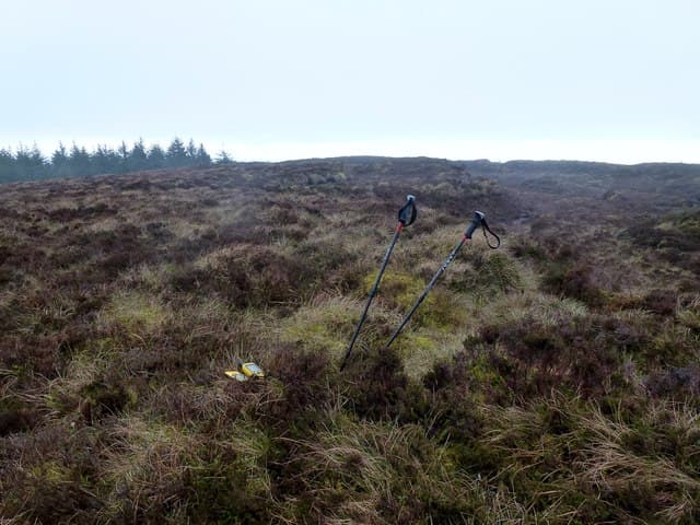
The Slate is a distinctive 384m hill on the southern Kintyre peninsula, named for the dark slatey outcrops crowning the summit. The view stretches across the North Channel to Ireland on clear days.
Quick facts
- Height
- 384m/ 1260ft
- Prominence
- 160 m
- Grid ref
- NR 63386 16524
- Dogs
- Dogs on lead required near livestockDog-friendly guide ↗
Height and prominence cross-checked against the Database of British and Irish Hills (CC BY).
No GPX track yet
Walked this route? Share your track to help other walkers.
Standard route
heather moorland 65% · grass slopes 25% · rocky summit 10%
A track from the road near Glenahervie climbs steadily before walkers leave it to push through heather onto the rocky top. Around three hours up and down.
Terrain
Forestry road on the lower slopes, then heather and tussock grass leading to broken slate outcrops at the summit. Sturdy boots help on the rocky finish.
In winter
Maritime climate keeps snow brief. Slate slabs become greasy when wet, demanding care.
Best time of year
Getting there
- Glasgow4h 2m
- Edinburgh7h 45m
OS maps: OS Landranger 68, OS Explorer 356S
Mobile signal: Poor. Dead zone. Download offline maps and inform a contact before setting out.
Current conditions
Daylight Today
- Sunrise
- 05:26
- Sunset
- 21:33
- Civil dawn
- 04:38
- Civil dusk
- 22:21
NOAA Solar Calculator · 30 July 2026
Around The Slate on the SCOT network
Getting there, basing yourself, and what to do off the hill.
The Slate — common questions
- How hard is The Slate?
- We grade The Slate at 1/5, which puts it in easy territory. Underfoot: Forestry road on the lower slopes, then heather and tussock grass leading to broken slate outcrops at the summit.
- What is The Slate's prominence?
- 160m of prominence. That's the vertical drop from the summit to the col that links The Slate to the next higher ground. That drop is what qualifies it as a Marilyn — a hill with at least 150m of descent on every side.
- When is the best time to climb The Slate?
- March, April, May, June, July, August, September, October give the most reliable conditions on The Slate. Beyond that window the high ground turns wintry: carry full mountain kit, be confident navigating, and check the SAIS avalanche forecast for the area.
- Is The Slate dog-friendly?
- Yes, but dogs must be kept on a lead — there is livestock or ground-nesting bird interest on the route.
- Is there mobile signal on The Slate?
- Poor. Dead zone. Download offline maps and inform a contact before setting out.
- Is The Slate safe in winter?
- Maritime climate keeps snow brief. Slate slabs become greasy when wet, demanding care.
Get the OutdoorSCOT weekly
One email a week — new route, hill and bothy guides, seasonal conditions and the odd hard-won lesson. No spam, unsubscribe in one click.