Marilyn · North-West Highlands
Meall an Fheadain
Meall an Fheadain sits on the rugged Rubha Mor peninsula north-west of Achiltibuie, the NB prefix flagging its Outer Hebrides-edge position. From its 204m top the Summer Isles strew the sea below, with the Coigach giants rising to the east — an extraordinary panorama for so little altitude.
Quick facts
- Height
- 204m/ 669ft
- Prominence
- 178 m
- Grid ref
- NB 99883 10949
- Nearest city
- Inverness· 93km
- Dogs
- Dogs on lead required near livestockDog-friendly guide ↗
Height and prominence cross-checked against the Database of British and Irish Hills (CC BY).
No GPX track yet
Walked this route? Share your track to help other walkers.
Standard route
heather and bog 65% · grass slopes 25% · rocky summit 10%
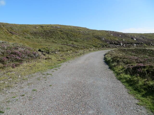
Park at Reiff (NB 96 14) and follow the rough coastal track south-east, then strike across the cnocan moor onto the summit dome. The cairn perches on a small gneiss boss above sea-pinks and lichen. About 6 km return with 230m of climb.
Terrain
A trackless tour across pure Lewisian gneiss — bare rock domes alternating with peat hollows and wee lochans. Sea cliffs lie close by on the west, requiring respect in mist.
In winter
Sea-level temperatures mean snow rarely settles, and the hill makes a fine winter half-day when mainland tops are out of condition. Salt spray combined with frost makes the gneiss slabs glassy in places.
This hill is in the Torridon SAIS forecast area. Check SAIS forecasts in winter (December–April).
Best time of year
Getting there
- Glasgow6h 22m
- Edinburgh8h 52m
OS maps: OS Landranger 15, OS Explorer 439W
Mobile signal: Poor. EE gives nothing on summit; Vodafone also absent on this remote Sutherland hill.
Current conditions
Daylight Today
- Sunrise
- 05:10
- Sunset
- 21:46
- Civil dawn
- 04:15
- Civil dusk
- 22:41
NOAA Solar Calculator · 30 July 2026
Around Meall an Fheadain on the SCOT network
Getting there, basing yourself, and what to do off the hill.
Meall an Fheadain — common questions
- How difficult is Meall an Fheadain?
- Meall an Fheadain carries a 1/5 (easy) grade on the OutdoorSCOT scale. Ground conditions: A trackless tour across pure Lewisian gneiss — bare rock domes alternating with peat hollows and wee lochans.
- How much drop does Meall an Fheadain have?
- The drop is 178m: measured from the summit of Meall an Fheadain down to the saddle joining it to higher terrain. Passing the 150m-drop threshold on all sides is exactly what makes it a Marilyn.
- What's the best month to climb Meall an Fheadain?
- Aim for March, April, May, June, July, August, September, October on Meall an Fheadain. In the remaining months treat it as a winter hill — full kit, solid navigation, and a look at the relevant SAIS avalanche forecast before you go.
- Can dogs go up Meall an Fheadain?
- Dogs are fine on a lead. The route passes livestock or ground-nesting bird habitat, so keep them close throughout.
- Will I get phone signal on Meall an Fheadain?
- Poor. EE gives nothing on summit; Vodafone also absent on this remote Sutherland hill.
- Is Meall an Fheadain safe in winter?
- Sea-level temperatures mean snow rarely settles, and the hill makes a fine winter half-day when mainland tops are out of condition. Salt spray combined with frost makes the gneiss slabs glassy in places.
Get the OutdoorSCOT weekly
One email a week — new route, hill and bothy guides, seasonal conditions and the odd hard-won lesson. No spam, unsubscribe in one click.