Marilyn · Cairngorms
Hill of Fare
The Hill of Fare is a substantial heather-clad plateau north of Banchory, the highest point on the dividing wall between Deeside and the Don. At 471m it commands a remarkable panorama from Aberdeen out to the Cairngorms, with the site of the Battle of Corrichie on its southern flank.
Quick facts
- Height
- 471m/ 1545ft
- Prominence
- 217 m
- Grid ref
- NJ 67182 02922
- Nearest city
- Aberdeen· 27km
- Dogs
- Dogs on lead required near livestockDog-friendly guide ↗
Height and prominence cross-checked against the Database of British and Irish Hills (CC BY).
No GPX track yet
Walked this route? Share your track to help other walkers.
Standard route
forestry tracks 25% · heather moorland 55% · rocky summit 20%
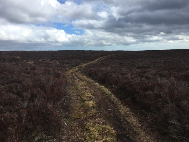
The most popular route climbs from the Burn o' Bennie car park near Raemoir Hotel, following forestry tracks then open hillside up to Greymore and the main summit ridge. About 8-10km round trip with 350m of ascent, taking 3-4 hours.
Terrain
A mix of forestry road, ATV track and open heather. The plateau is broad and gently undulating with several rocky tors. Path quality declines on the summit dome itself.
In winter
Exposed plateau collects wind-driven snow that can be surprisingly deep in drifts. Genuinely worthwhile in a hard winter — the views of the snowy Cairngorms across Deeside are superb.
This hill is in the Northern Cairngorms SAIS forecast area. Check SAIS forecasts in winter (December–April).
Best time of year
Getting there
- Glasgow5h 29m
- Edinburgh3h 27m
OS maps: OS Landranger 38, OS Explorer 406W
Mobile signal: Strong summit reception; EE and Vodafone reliable. Fine viewpoint visible from Aberdeen.
Current conditions
Daylight Today
- Sunrise
- 05:04
- Sunset
- 21:29
- Civil dawn
- 04:12
- Civil dusk
- 22:22
NOAA Solar Calculator · 30 July 2026
Around Hill of Fare on the SCOT network
Getting there, basing yourself, and what to do off the hill.
Hill of Fare — common questions
- How difficult is Hill of Fare?
- Hill of Fare carries a 1/5 (easy) grade on the OutdoorSCOT scale. Underfoot: A mix of forestry road, ATV track and open heather.
- What is Hill of Fare's prominence?
- 217m of prominence. That's the vertical drop from the summit to the col that links Hill of Fare to the next higher ground. That drop is what qualifies it as a Marilyn — a hill with at least 150m of descent on every side.
- When is the best time to climb Hill of Fare?
- March, April, May, June, July, August, September, October give the most reliable conditions on Hill of Fare. Beyond that window the high ground turns wintry: carry full mountain kit, be confident navigating, and check the SAIS avalanche forecast for the area.
- Is Hill of Fare dog-friendly?
- Yes, but dogs must be kept on a lead — there is livestock or ground-nesting bird interest on the route.
- Is there mobile signal on Hill of Fare?
- Strong summit reception; EE and Vodafone reliable. Fine viewpoint visible from Aberdeen.
- Is Hill of Fare safe in winter?
- Exposed plateau collects wind-driven snow that can be surprisingly deep in drifts. Genuinely worthwhile in a hard winter — the views of the snowy Cairngorms across Deeside are superb.
Get the OutdoorSCOT weekly
One email a week — new route, hill and bothy guides, seasonal conditions and the odd hard-won lesson. No spam, unsubscribe in one click.