Marilyn · Central Highlands
Cruban Beag
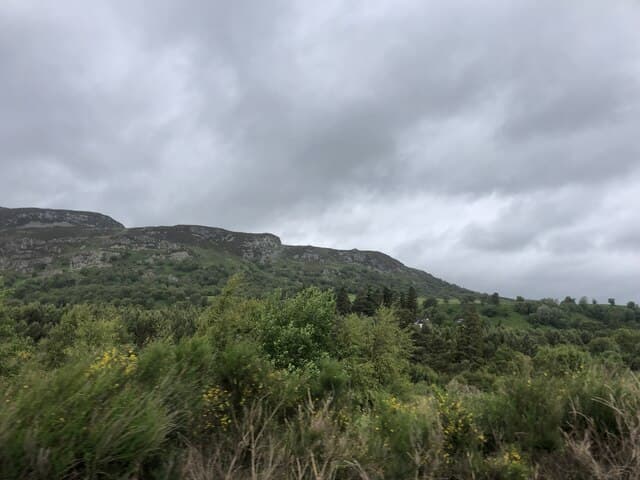
Cruban Beag — the small hump — is a 590m Marilyn in NN-square Badenoch, sitting on the moorland between Glen Truim and the upper River Spey south-west of Newtonmore. The summit gives wide views across to the Monadhliath and east into the Drumochter pass with the A9 threading along its base.
Gaelic: “small” · Pronunciation: cruban bek
Quick facts
- Height
- 590m/ 1936ft
- Prominence
- 216 m
- Grid ref
- NN 66858 92448
- Nearest city
- Inverness· 53km
- Dogs
- Dogs on lead required near livestockDog-friendly guide ↗
Height and prominence cross-checked against the Database of British and Irish Hills (CC BY).
No GPX track yet
Walked this route? Share your track to help other walkers.
Standard route
heather moorland 65% · bog and rushes 25% · grassy summit 10%
The shortest line uses the lay-by on the A9 at the Truim viaduct, crossing the railway by the underpass and climbing the rough east shoulder onto the broad summit. An alternative route comes in from the Phones road on the west, slightly longer but easier underfoot.
Terrain
Mixed grouse moor and bog at the lower levels, with stretches of bare gravel and tundra-like crowberry on top. The Allt na Cuile must be crossed below the summit — straightforward in normal conditions.
In winter
A drier hill than its Lochaber neighbours but high enough to hold proper snow from December onward. Plateau-style navigation in cloud; spindrift in north winds turns the gentle top into a featureless white expanse.
This hill is in the Creag Meagaidh SAIS forecast area. Check SAIS forecasts in winter (December–April).
Best time of year
Getting there
- Glasgow3h 57m
- Edinburgh4h 46m
OS maps: OS Landranger 35, OS Explorer 056, OS Explorer 402
Mobile signal: Poor. Remote Loch Rannoch/Corrour area; limited coverage.
Current conditions
Daylight Today
- Sunrise
- 05:11
- Sunset
- 21:35
- Civil dawn
- 04:19
- Civil dusk
- 22:27
NOAA Solar Calculator · 30 July 2026
Around Cruban Beag on the SCOT network
Getting there, basing yourself, and what to do off the hill.
Cruban Beag — common questions
- How hard is Cruban Beag?
- We grade Cruban Beag at 2/5, which puts it in moderate territory. Underfoot: Mixed grouse moor and bog at the lower levels, with stretches of bare gravel and tundra-like crowberry on top.
- What is Cruban Beag's prominence?
- 216m of prominence. That's the vertical drop from the summit to the col that links Cruban Beag to the next higher ground. That drop is what qualifies it as a Marilyn — a hill with at least 150m of descent on every side.
- When is the best time to climb Cruban Beag?
- March, April, May, June, July, August, September, October give the most reliable conditions on Cruban Beag. Beyond that window the high ground turns wintry: carry full mountain kit, be confident navigating, and check the SAIS avalanche forecast for the area.
- Is Cruban Beag dog-friendly?
- Yes, but dogs must be kept on a lead — there is livestock or ground-nesting bird interest on the route.
- Is there mobile signal on Cruban Beag?
- Poor. Remote Loch Rannoch/Corrour area; limited coverage.
- Is Cruban Beag safe in winter?
- A drier hill than its Lochaber neighbours but high enough to hold proper snow from December onward. Plateau-style navigation in cloud; spindrift in north winds turns the gentle top into a featureless white expanse.
Get the OutdoorSCOT weekly
One email a week — new route, hill and bothy guides, seasonal conditions and the odd hard-won lesson. No spam, unsubscribe in one click.