Marilyn · Argyll
Beinn an Tuirc
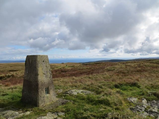
Beinn an Tuirc, the Hill of the Boar, is the highest point of Kintyre at 454m. Legend links it to Diarmid's fatal hunt and the slopes today carry one of Scotland's earlier hilltop wind farms.
Quick facts
- Height
- 454m/ 1490ft
- Prominence
- 440 m
- Grid ref
- NR 75227 36173
- Nearest city
- Glasgow· 89km
- Dogs
- Dogs on lead required near livestockDog-friendly guide ↗
Height and prominence cross-checked against the Database of British and Irish Hills (CC BY).
No GPX track yet
Walked this route? Share your track to help other walkers.
Standard route
heather moorland 65% · grass slopes 25% · rocky summit 10%
Access tracks serving the wind farm give a rapid approach from the A83 north of Glenbarr; a short final pull onto open ground reaches the trig. Reckon on around three hours return.
Terrain
Hard service tracks dominate the ascent, with a brief crossing of damp moorland to the summit. Easy underfoot by Argyll standards.
In winter
Wind farm roads stay walkable in most conditions but exposed to fierce gusts. Eye protection helps in driving sleet.
Best time of year
Getting there
- Glasgow3h 29m
- Edinburgh6h 14m
OS maps: OS Landranger 68, OS Landranger 69, OS Explorer 356N
Mobile signal: Moderate. EE weak on top; improves toward Campbeltown.
Current conditions
Daylight Today
- Sunrise
- 05:24
- Sunset
- 21:33
- Civil dawn
- 04:36
- Civil dusk
- 22:22
NOAA Solar Calculator · 30 July 2026
Around Beinn an Tuirc on the SCOT network
Getting there, basing yourself, and what to do off the hill.
Getting there: Ardrossan Harbour station
Ferry to Brodick (Arran) — Goat Fell, Arran ridge
47km from the hill
tripscot.co.uk
On TripSCOTBase yourself in Campbeltown
Kintyre Way finish; Mull of Kintyre; whisky town
16km from the hill
tripscot.co.uk
On TasteSCOTAfter the hill: Glen Scotia
Campbeltown — coastal, salty Campbeltown survivor and one of the region's three
15km from the hill
tastescot.co.uk
Beinn an Tuirc — common questions
- How difficult is Beinn an Tuirc?
- Beinn an Tuirc carries a 1/5 (easy) grade on the OutdoorSCOT scale. Terrain: Hard service tracks dominate the ascent, with a brief crossing of damp moorland to the summit.
- How prominent is Beinn an Tuirc?
- Beinn an Tuirc has 440m of topographic prominence — the height of its summit above the highest col connecting it to higher ground. Marilyns are defined by that measure: at least 150m of drop on all sides.
- When should I climb Beinn an Tuirc?
- The standard good-weather months for Beinn an Tuirc are March, April, May, June, July, August, September, October. Outside those months, expect winter conditions on the high ground — full mountain kit, navigation skills, and a check of the SAIS avalanche forecast for the relevant region.
- Can I bring my dog up Beinn an Tuirc?
- On a lead only — the route crosses ground with livestock or nesting-bird interest.
- What's mobile reception like on Beinn an Tuirc?
- Moderate. EE weak on top; improves toward Campbeltown.
- Is Beinn an Tuirc safe in winter?
- Wind farm roads stay walkable in most conditions but exposed to fierce gusts. Eye protection helps in driving sleet.
Get the OutdoorSCOT weekly
One email a week — new route, hill and bothy guides, seasonal conditions and the odd hard-won lesson. No spam, unsubscribe in one click.