Graham · Far North
Ben Armine
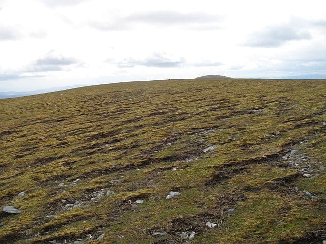
Ben Armine (705m) at NC69 is the high point of the Armine Forest, one of the most isolated upland sections in central Sutherland. The cairned summit lies on a long flat ridge above the Black Water and looks east over the empty moorland toward Helmsdale and west to Ben Klibreck. The Armine Lodge bothy at the foot of the hill is a useful base for the multi-day trek required to reach this Graham.
Quick facts
- Height
- 705.3m/ 2314ft
- Prominence
- 243 m
- Distance
- 13 km
- Ascent
- 578 m
- Time
- 4–6 hrs
- Grid ref
- NC694273
- Parking
- NC689254
- Nearest
- Ullapool· Inverness 82km
- Dogs
- Dogs on lead required near livestockDog-friendly guide ↗
Height and prominence cross-checked against the Database of British and Irish Hills (CC BY).
No GPX track yet
Walked this route? Share your track to help other walkers.
Standard route
blanket bog 45% · heather moorland 40% · grassy summit 15%
No road approach — the nearest access is from the Forsinard side via a long landrover track, or by bike from Strath Brora estate roads. The hill itself is straightforward but the cycle-and-walk-in from any direction is at least 15km one way. Stated 13km represents the on-hill section once at the foot. Most parties use Armine Lodge bothy as overnight base.
Terrain
Estate tracks reach close to the base of the hill but the final ascent is on classic Sutherland deer-grass and peat-hag terrain. The summit ridge is a flat plateau with the cairn near the southern end. Wet-foot walking is the norm at all but the driest times.
In winter
Far-north winter conditions: wet snow, sustained Arctic winds, and very short daylight (around six hours useful) are the dominant factors. The Armine plateau collects significant lee accumulation in any settled cold spell. SAIS Northern Highlands gives the nearest official forecast though the area lies outside the formal zone. Satellite messenger essential for the multi-day commitment.
Best time of year
Getting there
- Glasgow5h 2m
- Edinburgh5h 59m
OS maps: OS Landranger 16
Mobile signal: No signal across the entire estate — bring a satellite communicator without exception.
Current conditions
Daylight Today
- Sunrise
- 04:32
- Sunset
- 22:13
- Civil dawn
- 03:25
- Civil dusk
- 23:20
NOAA Solar Calculator · 13 July 2026
Around Ben Armine on the SCOT network
Getting there, basing yourself, and what to do off the hill.
Ben Armine — common questions
- What difficulty is Ben Armine?
- On the OutdoorSCOT scale, Ben Armine comes in at 4/5 — challenging. Expect roughly 13km and 578m of ascent on the usual route — 4-6 hours for most parties. Terrain: Estate tracks reach close to the base of the hill but the final ascent is on classic Sutherland deer-grass and peat-hag terrain.
- How prominent is Ben Armine?
- Ben Armine has 243m of topographic prominence — the height of its summit above the highest col connecting it to higher ground.
- Where should I park to climb Ben Armine?
- Standard parking is at NC689254 near Ullapool. Check the parking grid reference on an OS map before travel; informal laybys can fill on summer weekends.
- When should I climb Ben Armine?
- The standard good-weather months for Ben Armine are May, June, July, August, September. Outside those months, expect winter conditions on the high ground — full mountain kit, navigation skills, and a check of the SAIS avalanche forecast for the relevant region.
- Can I bring my dog up Ben Armine?
- On a lead only — the route crosses ground with livestock or nesting-bird interest.
- What's mobile reception like on Ben Armine?
- No signal across the entire estate — bring a satellite communicator without exception.
- Is Ben Armine safe in winter?
- Far-north winter conditions: wet snow, sustained Arctic winds, and very short daylight (around six hours useful) are the dominant factors. The Armine plateau collects significant lee accumulation in any settled cold spell. SAIS Northern Highlands gives the nearest official forecast though the area lies outside the formal zone. Satellite messenger essential for the multi-day commitment.
Get the OutdoorSCOT weekly
One email a week — new route, hill and bothy guides, seasonal conditions and the odd hard-won lesson. No spam, unsubscribe in one click.