Donald · Southern Uplands
Gana Hill
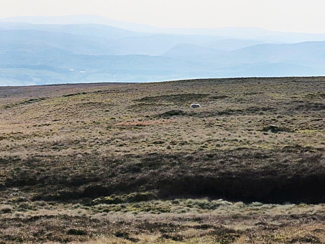
Gana Hill links Wedder Law to Lousie Wood Law on the Lowther watershed, a featureless grassy lump above the head of Daer Water. A small cairn sits at the corner of the boundary fence, with peat hags falling away to the east.
Quick facts
- Height
- 668m/ 2192ft
- Prominence
- 117 m
- Distance
- 13 km
- Ascent
- 548 m
- Time
- 3–6 hrs
- Grid ref
- NS954010
- Parking
- NS941017
- Nearest city
- Dumfries· 25km
- Dogs
- Dogs on lead required near livestockDog-friendly guide ↗
Height and prominence cross-checked against the Database of British and Irish Hills (CC BY).
No GPX track yet
Walked this route? Share your track to help other walkers.
Standard route
grass moorland 80% · heather patches 15% · summit area 5%
Best approached from the Daer reservoir, climbing the east flank onto the ridge. Often linked with Wedder Law and Ballencleuch Law for a 16km traverse with 700m of climb.
Terrain
Tussock and peat hag dominate the upper plateau. Slow ground; the fence is essential in cloud.
In winter
Peat hags fill in with windblown snow and disguise the top of the plateau. SAIS does not cover here but cornicing is plausible on the east edge above Daer.
Best time of year
Getting there
- Glasgow2h 45m
- Edinburgh2h 53m
OS maps: OS Landranger 78
Mobile signal: Signal is good; EE holds throughout. Fine Tweeddale moorland viewpoint.
Current conditions
Daylight Today
- Sunrise
- 04:51
- Sunset
- 21:50
- Civil dawn
- 03:56
- Civil dusk
- 22:44
NOAA Solar Calculator · 13 July 2026
Around Gana Hill on the SCOT network
Getting there, basing yourself, and what to do off the hill.
Gana Hill — common questions
- Is Gana Hill a hard climb?
- Gana Hill is rated 3/5 (moderately challenging) on the OutdoorSCOT scale. The standard route covers about 13km with 548m of ascent and takes most walkers 3-6 hours. Underfoot: Tussock and peat hag dominate the upper plateau.
- What is Gana Hill's prominence?
- 117m of prominence. That's the vertical drop from the summit to the col that links Gana Hill to the next higher ground.
- Where do I park for Gana Hill?
- Most walkers start from NS941017. Verify the grid reference on an OS map before you set off — space is tight on busy summer weekends.
- When is the best time to climb Gana Hill?
- March, April, May, June, July, August, September, October, November give the most reliable conditions on Gana Hill. Beyond that window the high ground turns wintry: carry full mountain kit, be confident navigating, and check the SAIS avalanche forecast for the area.
- Is Gana Hill dog-friendly?
- Yes, but dogs must be kept on a lead — there is livestock or ground-nesting bird interest on the route.
- Is there mobile signal on Gana Hill?
- Signal is good; EE holds throughout. Fine Tweeddale moorland viewpoint.
- Is Gana Hill safe in winter?
- Peat hags fill in with windblown snow and disguise the top of the plateau. SAIS does not cover here but cornicing is plausible on the east edge above Daer.
Get the OutdoorSCOT weekly
One email a week — new route, hill and bothy guides, seasonal conditions and the odd hard-won lesson. No spam, unsubscribe in one click.