Marilyn · Argyll
Tom an t-Saighdeir
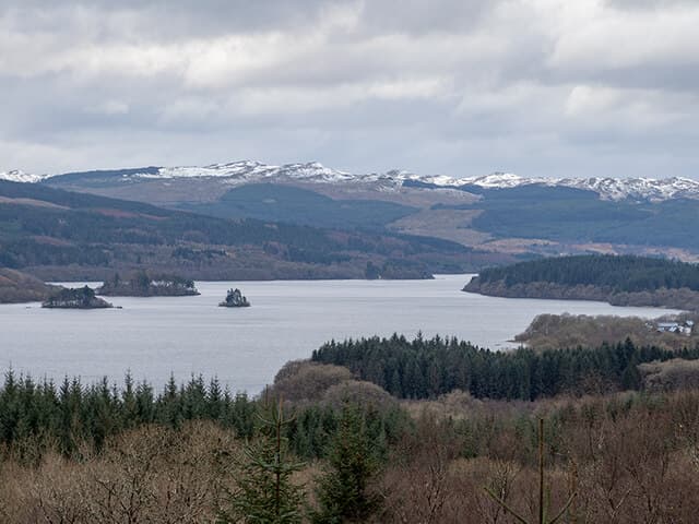
Tom an t-Saighdeir, the Soldier's Knoll, rises to 303m on the wooded ridge between Loch Awe and Loch Avich. The name hints at a half-forgotten military tale, and the summit's position above Dalavich gives a pleasing overview of mid-Argyll forest country.
Quick facts
- Height
- 303m/ 994ft
- Prominence
- 175 m
- Grid ref
- NM 97197 15229
- Nearest city
- Oban· 19km
- Dogs
- Dogs on lead required near livestockDog-friendly guide ↗
Height and prominence cross-checked against the Database of British and Irish Hills (CC BY).
No GPX track yet
Walked this route? Share your track to help other walkers.
Standard route
heather and bog 65% · grass slopes 25% · rocky summit 10%
Forest tracks from Dalavich gain height through Sitka plantations before walkers strike off uphill onto open ground to reach the 303m top. Reckon on two to three hours round trip from the Forestry car park.
Terrain
Hard forest tracks lead to a short bash through tussocky heather and bilberry to the summit cairn. Some firebreaks help navigation but felling activity can disrupt routes.
In winter
Low enough to stay snow-free much of the season, though forest tracks can ice up. A head torch is sensible in short December daylight.
Best time of year
Getting there
- Glasgow3h 52m
- Edinburgh5h 28m
OS maps: OS Landranger 55, OS Explorer 360N, OS Explorer 360S
Mobile signal: Poor. no EE at all; nearest bars near Inveraray or Lochgilphead.
Current conditions
Daylight Today
- Sunrise
- 05:19
- Sunset
- 21:36
- Civil dawn
- 04:29
- Civil dusk
- 22:26
NOAA Solar Calculator · 30 July 2026
Around Tom an t-Saighdeir on the SCOT network
Getting there, basing yourself, and what to do off the hill.
Getting there: Oban station
Argyll ferry hub; Mull, Lismore, Coll, Tiree, Barra connections
18km from the hill
tripscot.co.uk
On TripSCOTBase yourself in Oban
Argyll ferry hub — Mull, Lismore, Coll, Tiree, Barra
18km from the hill
tripscot.co.uk
On TasteSCOTAfter the hill: Oban
Oban town centre — tiny two-still distillery bridging Highland and West Coast styles
19km from the hill
tastescot.co.uk
Tom an t-Saighdeir — common questions
- How difficult is Tom an t-Saighdeir?
- Tom an t-Saighdeir carries a 1/5 (easy) grade on the OutdoorSCOT scale. Ground conditions: Hard forest tracks lead to a short bash through tussocky heather and bilberry to the summit cairn.
- How much drop does Tom an t-Saighdeir have?
- The drop is 175m: measured from the summit of Tom an t-Saighdeir down to the saddle joining it to higher terrain. Passing the 150m-drop threshold on all sides is exactly what makes it a Marilyn.
- What's the best month to climb Tom an t-Saighdeir?
- Aim for March, April, May, June, July, August, September, October on Tom an t-Saighdeir. In the remaining months treat it as a winter hill — full kit, solid navigation, and a look at the relevant SAIS avalanche forecast before you go.
- Can dogs go up Tom an t-Saighdeir?
- Dogs are fine on a lead. The route passes livestock or ground-nesting bird habitat, so keep them close throughout.
- Will I get phone signal on Tom an t-Saighdeir?
- Poor. no EE at all; nearest bars near Inveraray or Lochgilphead.
- Is Tom an t-Saighdeir safe in winter?
- Low enough to stay snow-free much of the season, though forest tracks can ice up. A head torch is sensible in short December daylight.
Get the OutdoorSCOT weekly
One email a week — new route, hill and bothy guides, seasonal conditions and the odd hard-won lesson. No spam, unsubscribe in one click.