Marilyn · North-West Highlands
Meall Meadhonach
Meall Meadhonach — the "middle lump" — is a 423m moorland hill in the NC41 square between Loch Eriboll and Loch Hope. Its name reflects its position between higher ground to north and south.
Quick facts
- Height
- 423m/ 1388ft
- Prominence
- 196 m
- Grid ref
- NC 41002 62786
- Dogs
- Dogs on lead required near livestockDog-friendly guide ↗
Height and prominence cross-checked against the Database of British and Irish Hills (CC BY).
No GPX track yet
Walked this route? Share your track to help other walkers.
Standard route
heather and bog 65% · grass slopes 25% · rocky summit 10%
Begin near Hope on the A838, then follow the line of the Allt na Caillich westwards before climbing the open southern shoulder. Allow 4 hours pathless.
Terrain
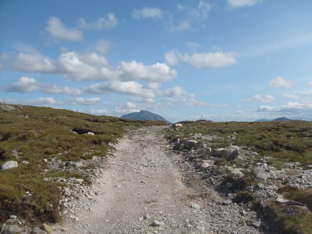
Wet heather and reedy hollows give way to a clean grassy crown. The Allt na Caillich falls are worth a short detour on the way back.
In winter
Sea-level start keeps the trailhead snow-free most years but the upper moor can hold drifts in lee hollows. Watch for cornices on the small north-facing crag below the cairn.
This hill is in the Torridon SAIS forecast area. Check SAIS forecasts in winter (December–April).
Best time of year
Getting there
- Glasgow7h 0m
- Edinburgh8h 46m
OS maps: OS Landranger 9, OS Explorer 446
Mobile signal: Poor. Signal dies completely on the approach track; full dead zone on summit.
Current conditions
Daylight Today
- Sunrise
- 05:04
- Sunset
- 21:47
- Civil dawn
- 04:08
- Civil dusk
- 22:43
NOAA Solar Calculator · 30 July 2026
Around Meall Meadhonach on the SCOT network
Getting there, basing yourself, and what to do off the hill.
Meall Meadhonach — common questions
- What difficulty is Meall Meadhonach?
- On the OutdoorSCOT scale, Meall Meadhonach comes in at 1/5 — easy. Underfoot: Wet heather and reedy hollows give way to a clean grassy crown.
- What is Meall Meadhonach's prominence?
- 196m of prominence. That's the vertical drop from the summit to the col that links Meall Meadhonach to the next higher ground. That drop is what qualifies it as a Marilyn — a hill with at least 150m of descent on every side.
- When is the best time to climb Meall Meadhonach?
- March, April, May, June, July, August, September, October give the most reliable conditions on Meall Meadhonach. Beyond that window the high ground turns wintry: carry full mountain kit, be confident navigating, and check the SAIS avalanche forecast for the area.
- Is Meall Meadhonach dog-friendly?
- Yes, but dogs must be kept on a lead — there is livestock or ground-nesting bird interest on the route.
- Is there mobile signal on Meall Meadhonach?
- Poor. Signal dies completely on the approach track; full dead zone on summit.
- Is Meall Meadhonach safe in winter?
- Sea-level start keeps the trailhead snow-free most years but the upper moor can hold drifts in lee hollows. Watch for cornices on the small north-facing crag below the cairn.
Get the OutdoorSCOT weekly
One email a week — new route, hill and bothy guides, seasonal conditions and the odd hard-won lesson. No spam, unsubscribe in one click.