Marilyn · Cairngorms
Drumcroy Hill
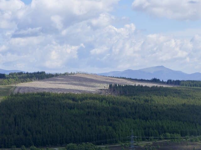
Drumcroy Hill is a 512m Marilyn in NN-square Perthshire, set on the broad ground above Calvine where Glen Garry meets the Pass of Drumochter. The summit looks south across the River Garry to the village of Struan and north into the lower reaches of the Drumochter Munros.
Quick facts
- Height
- 512m/ 1680ft
- Prominence
- 189 m
- Grid ref
- NN 74161 62956
- Nearest city
- Perth· 54km
- Dogs
- Dogs on lead required near livestockDog-friendly guide ↗
Height and prominence cross-checked against the Database of British and Irish Hills (CC BY).
No GPX track yet
Walked this route? Share your track to help other walkers.
Standard route
heather moorland 60% · grass and bracken 30% · rocky summit 10%
The shortest line uses the lay-by at Calvine on the B847, taking the estate road north past Old Struan Hotel and climbing onto the south-east shoulder. The upper hill is a gentle plod over short heather and gravel to a trig point on a bare top.
Terrain
Tarmac and estate road for the lower section, with grouse-moor heather above and a gravelly summit dome. Drainage is good thanks to the well-burned moor; few wet patches.
In winter
Drumochter snow tends to settle on this north-facing aspect from December onward. The summit is exposed to the easterly squalls that funnel down the pass; wind chill rather than depth is the problem.
This hill is in the Northern Cairngorms SAIS forecast area. Check SAIS forecasts in winter (December–April).
Best time of year
Getting there
- Glasgow2h 20m
- Edinburgh3h 2m
OS maps: OS Landranger 42, OS Explorer 049W, OS Explorer 386W
Mobile signal: Variable. EE hit and miss; improves toward Aberfeldy.
Current conditions
Daylight Today
- Sunrise
- 05:12
- Sunset
- 21:33
- Civil dawn
- 04:21
- Civil dusk
- 22:25
NOAA Solar Calculator · 30 July 2026
Around Drumcroy Hill on the SCOT network
Getting there, basing yourself, and what to do off the hill.
Getting there: Blair Atholl station
Beinn a Ghlo; Glen Tilt corridor north to the Cairngorms
13km from the hill
tripscot.co.uk
On TripSCOTBase yourself in Aberfeldy
Loch Tay base — Ben Lawers, Tarmachan ridge, Birks of Aberfeldy
18km from the hill
tripscot.co.uk
On TasteSCOTAfter the hill: Aberfeldy
Aberfeldy — heart of Dewar's blends; honey-and-heather Highland style
18km from the hill
tastescot.co.uk
Drumcroy Hill — common questions
- How hard is Drumcroy Hill?
- We grade Drumcroy Hill at 2/5, which puts it in moderate territory. Underfoot: Tarmac and estate road for the lower section, with grouse-moor heather above and a gravelly summit dome.
- What is Drumcroy Hill's prominence?
- 189m of prominence. That's the vertical drop from the summit to the col that links Drumcroy Hill to the next higher ground. That drop is what qualifies it as a Marilyn — a hill with at least 150m of descent on every side.
- When is the best time to climb Drumcroy Hill?
- March, April, May, June, July, August, September, October give the most reliable conditions on Drumcroy Hill. Beyond that window the high ground turns wintry: carry full mountain kit, be confident navigating, and check the SAIS avalanche forecast for the area.
- Is Drumcroy Hill dog-friendly?
- Yes, but dogs must be kept on a lead — there is livestock or ground-nesting bird interest on the route.
- Is there mobile signal on Drumcroy Hill?
- Variable. EE hit and miss; improves toward Aberfeldy.
- Is Drumcroy Hill safe in winter?
- Drumochter snow tends to settle on this north-facing aspect from December onward. The summit is exposed to the easterly squalls that funnel down the pass; wind chill rather than depth is the problem.
Get the OutdoorSCOT weekly
One email a week — new route, hill and bothy guides, seasonal conditions and the odd hard-won lesson. No spam, unsubscribe in one click.