Marilyn · Argyll & Bute
Druim Fada
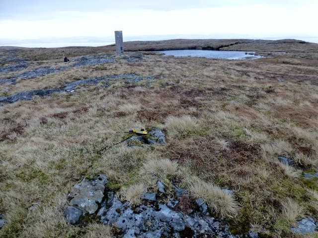
Druim Fada — the Long Ridge — runs east-west above Loch Spelve on the south-east tip of Mull. At 405m it is modest but the ridge form gives an unusually sustained skyline and one of the best views to Ben More from any low-level hill on the island.
Gaelic: “ridge, long” · Pronunciation: drim fah-dah
Quick facts
- Height
- 405m/ 1329ft
- Prominence
- 390 m
- Grid ref
- NM 64699 22555
- Nearest city
- Oban· 22km
- Dogs
- Dogs on lead required near livestockDog-friendly guide ↗
Height and prominence cross-checked against the Database of British and Irish Hills (CC BY).
No GPX track yet
Walked this route? Share your track to help other walkers.
Standard route
heather and bog 60% · grass slopes 30% · rocky outcrops 10%
Start from the road end at Croggan on Loch Spelve and climb north-east up the open slope, then traverse the full length of the ridge to the summit cairn near its western end. Return the same way, allowing around 4 hours.
Terrain
Heather and tussock grass on the climb, with firmer ground and short outcrops along the ridge. The crest is drier than the flanks and makes for satisfying walking once gained.
In winter
A good cold-weather choice when high tops are out of condition — snow on the ridge tends to be patchy and ankle-deep at most. Watch for icy slabs on the outcrops after overnight freeze.
Best time of year
Getting there
- Glasgow4h 13m
- Edinburgh7h 51m
Ferry access
Oban → Craignure
- Crossing time45 min
- Summer sailingsUp to 8 sailings daily (Apr–Oct)
- Winter sailings4–5 sailings daily (Nov–Mar)
- Book ahead7 days
- Last ferry backCheck CalMac timetable — sailings run until ~21:00 in peak summer
Foot passengers can usually turn up without booking. Book vehicle spaces in advance. The Lochaline → Fishnish crossing (15 min) is shorter but serves east Mull only.
Book on CalMac ↗OS maps: OS Landranger 49, OS Explorer 375E
Mobile signal: Near zero. No mobile signal; a PLB is worth carrying on this remote Mull summit.
Current conditions
Daylight Today
- Sunrise
- 05:21
- Sunset
- 21:38
- Civil dawn
- 04:31
- Civil dusk
- 22:28
NOAA Solar Calculator · 30 July 2026
Around Druim Fada on the SCOT network
Getting there, basing yourself, and what to do off the hill.
Getting there: Oban station
Argyll ferry hub; Mull, Lismore, Coll, Tiree, Barra connections
22km from the hill
tripscot.co.uk
On TripSCOTBase yourself in Oban
Argyll ferry hub — Mull, Lismore, Coll, Tiree, Barra
22km from the hill
tripscot.co.uk
On TasteSCOTAfter the hill: Oban
Oban town centre — tiny two-still distillery bridging Highland and West Coast styles
22km from the hill
tastescot.co.uk
Druim Fada — common questions
- What difficulty is Druim Fada?
- On the OutdoorSCOT scale, Druim Fada comes in at 1/5 — easy. Ground conditions: Heather and tussock grass on the climb, with firmer ground and short outcrops along the ridge.
- How much drop does Druim Fada have?
- The drop is 390m: measured from the summit of Druim Fada down to the saddle joining it to higher terrain. Passing the 150m-drop threshold on all sides is exactly what makes it a Marilyn.
- What's the best month to climb Druim Fada?
- Aim for March, April, May, June, July, August, September, October on Druim Fada. In the remaining months treat it as a winter hill — full kit, solid navigation, and a look at the relevant SAIS avalanche forecast before you go.
- Can dogs go up Druim Fada?
- Dogs are fine on a lead. The route passes livestock or ground-nesting bird habitat, so keep them close throughout.
- Will I get phone signal on Druim Fada?
- Near zero. No mobile signal; a PLB is worth carrying on this remote Mull summit.
- How do I get the ferry to Druim Fada?
- Oban → Craignure. Up to 8 sailings daily (Apr–Oct) in summer; 4–5 sailings daily (Nov–Mar) in winter. Book at least 7 days ahead. Foot passengers can usually turn up without booking. Book vehicle spaces in advance. The Lochaline → Fishnish crossing (15 min) is shorter but serves east Mull only.
- Is Druim Fada safe in winter?
- A good cold-weather choice when high tops are out of condition — snow on the ridge tends to be patchy and ankle-deep at most. Watch for icy slabs on the outcrops after overnight freeze.
Get the OutdoorSCOT weekly
One email a week — new route, hill and bothy guides, seasonal conditions and the odd hard-won lesson. No spam, unsubscribe in one click.