Marilyn · North-West Highlands
Cnoc Ceislein
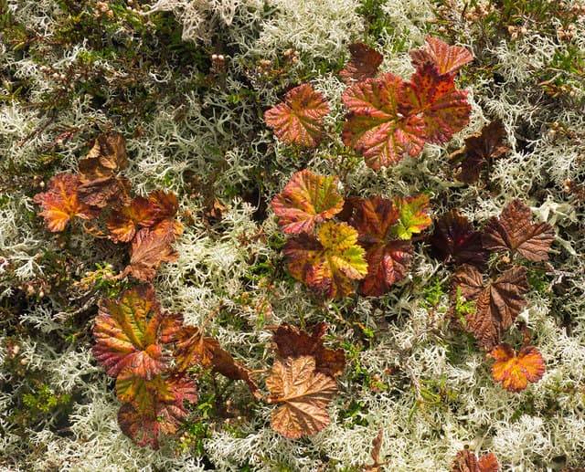
Cnoc Ceislein — knoll of the tangled place — is a 523m hill at NH 589 706 north of Strath Rusdale in Easter Ross. The Gaelic name describes the dense entangled birch scrub and bog myrtle that historically covered its lower slopes; much has been cleared but remnants still survive.
Quick facts
- Height
- 523m/ 1716ft
- Prominence
- 240 m
- Grid ref
- NH 58916 70614
- Nearest city
- Inverness· 26km
- Dogs
- Dogs on lead required near livestockDog-friendly guide ↗
Height and prominence cross-checked against the Database of British and Irish Hills (CC BY).
No GPX track yet
Walked this route? Share your track to help other walkers.
Standard route
heather and bog 65% · grass slopes 25% · rocky summit 10%
Approached from the unclassified road through Strath Rusdale, with a forest track running close to the south flank. The final 200m is open heather to a small cairn. A short 2-3 hour outing.
Terrain
Moine schist below a cap of glacial till. The lower slopes hold patches of remnant native birch and rowan; above the treeline the going is heather and short grass to a flat summit dome.
In winter
At 523m on the dry east side of the watershed, snow falls intermittently and rarely lies long. The shelter of the lower birch makes the approach feasible in poor weather when higher hills are unviable.
This hill is in the Torridon SAIS forecast area. Check SAIS forecasts in winter (December–April).
Best time of year
Getting there
- Glasgow5h 47m
- Edinburgh5h 28m
OS maps: OS Landranger 21, OS Explorer 438W
Mobile signal: Poor. Complete dead zone across this remote Sutherland ridge.
Current conditions
Daylight Today
- Sunrise
- 05:08
- Sunset
- 21:40
- Civil dawn
- 04:14
- Civil dusk
- 22:34
NOAA Solar Calculator · 30 July 2026
Around Cnoc Ceislein on the SCOT network
Getting there, basing yourself, and what to do off the hill.
Getting there: Dingwall station
Ben Wyvis approach; Easter Ross; junction for Kyle and Far North lines
12km from the hill
tripscot.co.uk
On TripSCOTBase yourself in Inverness
Highland capital — gateway to Cairngorms, Affric, Far North
27km from the hill
tripscot.co.uk
On TasteSCOTAfter the hill: The Dalmore
Alness — sherried Highland flagship; stately Cromarty Firth setting
7km from the hill
tastescot.co.uk
Cnoc Ceislein — common questions
- How difficult is Cnoc Ceislein?
- Cnoc Ceislein carries a 2/5 (moderate) grade on the OutdoorSCOT scale. Terrain: Moine schist below a cap of glacial till.
- How prominent is Cnoc Ceislein?
- Cnoc Ceislein has 240m of topographic prominence — the height of its summit above the highest col connecting it to higher ground. Marilyns are defined by that measure: at least 150m of drop on all sides.
- When should I climb Cnoc Ceislein?
- The standard good-weather months for Cnoc Ceislein are March, April, May, June, July, August, September, October. Outside those months, expect winter conditions on the high ground — full mountain kit, navigation skills, and a check of the SAIS avalanche forecast for the relevant region.
- Can I bring my dog up Cnoc Ceislein?
- On a lead only — the route crosses ground with livestock or nesting-bird interest.
- What's mobile reception like on Cnoc Ceislein?
- Poor. Complete dead zone across this remote Sutherland ridge.
- Is Cnoc Ceislein safe in winter?
- At 523m on the dry east side of the watershed, snow falls intermittently and rarely lies long. The shelter of the lower birch makes the approach feasible in poor weather when higher hills are unviable.
Get the OutdoorSCOT weekly
One email a week — new route, hill and bothy guides, seasonal conditions and the odd hard-won lesson. No spam, unsubscribe in one click.