Marilyn · North-West Highlands
Cnoc an t-Sabhail
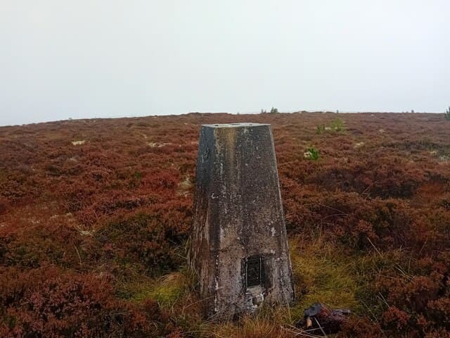
This second Cnoc an t-Sabhail — knoll of the barn — stands 322m at NH 721 817 on the moor above the Dornoch Firth, the lower of two Sutherland hills sharing the name. The flat-topped profile is unmistakable from the A9 south of Tain.
Quick facts
- Height
- 322m/ 1056ft
- Grid ref
- NH 72158 81704
- Nearest city
- Inverness· 37km
- Dogs
- Dogs on lead required near livestockDog-friendly guide ↗
No GPX track yet
Walked this route? Share your track to help other walkers.
Standard route
blanket bog 50% · heather moorland 35% · grassy summit 15%
Approached from the minor road at Edderton, with a vague track running up the south flank. The final pull is open heather to a flat summit; the cairn is small and easily missed. A short 2-3 hour walk.
Terrain
Old Red Sandstone bedrock with thin peat and heather above. The flat summit area is firm grass; the lower flanks hold typical Easter Ross moor with patches of bog around the burns.
In winter
At only 322m and close to the firth, snow is rare and short-lived. Sea fog rolls in on east winds — the flat top loses all landmarks in mist and a compass bearing is the only reliable way off.
This hill is in the Torridon SAIS forecast area. Check SAIS forecasts in winter (December–April).
Best time of year
Getting there
- Glasgow5h 2m
- Edinburgh5h 25m
OS maps: OS Landranger 21, OS Explorer 438W
Mobile signal: Poor. Remote NW Sutherland; limited coverage.
Current conditions
Daylight Today
- Sunrise
- 04:17
- Sunset
- 22:22
- Civil dawn
- 03:04
- Civil dusk
- 23:36
NOAA Solar Calculator · 27 June 2026
Around Cnoc an t-Sabhail on the SCOT network
Getting there, basing yourself, and what to do off the hill.
Getting there: Tain station
Easter Ross — Ben Wyvis approach, Glenmorangie distillery
6km from the hill
tripscot.co.uk
On TripSCOTBase yourself in Inverness
Highland capital — gateway to Cairngorms, Affric, Far North
37km from the hill
tripscot.co.uk
On TasteSCOTAfter the hill: Balblair
Edderton — Easter Ross distillery with vintage-led range
5km from the hill
tastescot.co.uk
Cnoc an t-Sabhail — common questions
- How hard is Cnoc an t-Sabhail?
- Cnoc an t-Sabhail is rated 1/5 (easy) on the OutdoorSCOT scale. Terrain: Old Red Sandstone bedrock with thin peat and heather above.
- When is the best time to climb Cnoc an t-Sabhail?
- The standard good-weather months for Cnoc an t-Sabhail are March, April, May, June, July, August, September, October. Outside those months, expect winter conditions on the high ground — full mountain kit, navigation skills, and a check of the SAIS avalanche forecast for the relevant region.
- Can I bring my dog up Cnoc an t-Sabhail?
- Yes, but dogs must be kept on a lead — there is livestock or ground-nesting bird interest on the route.
- Is there mobile signal on Cnoc an t-Sabhail?
- Poor. Remote NW Sutherland; limited coverage.
- Is Cnoc an t-Sabhail safe in winter?
- At only 322m and close to the firth, snow is rare and short-lived. Sea fog rolls in on east winds — the flat top loses all landmarks in mist and a compass bearing is the only reliable way off.
Get the OutdoorSCOT weekly
One email a week — new route, hill and bothy guides, seasonal conditions and the odd hard-won lesson. No spam, unsubscribe in one click.