Marilyn · Argyll
Cnoc a' Bhaile-shios
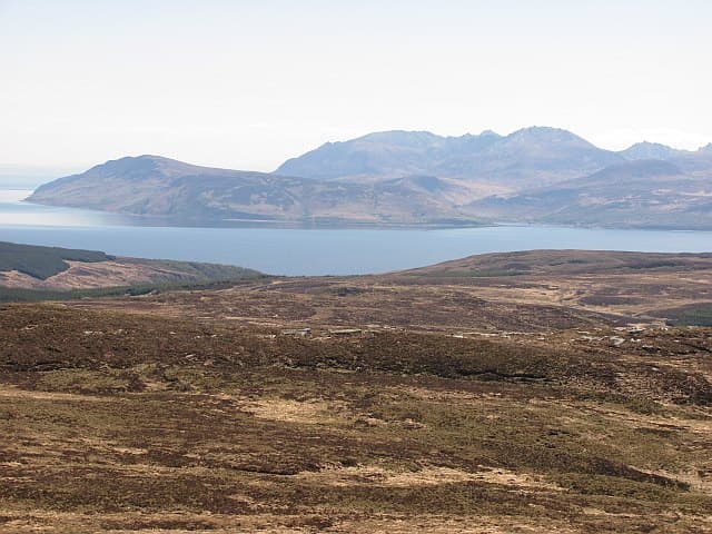
Cnoc a' Bhaile-shios, the Knoll of the Lower Township, occupies the rolling moorland of central Kintyre at 422m. Despite the modest height, the lack of competing summits gives it a horizon all its own.
Quick facts
- Height
- 422m/ 1385ft
- Prominence
- 319 m
- Grid ref
- NR 86364 62854
- Nearest city
- Glasgow· 73km
- Dogs
- Dogs on lead required near livestockDog-friendly guide ↗
Height and prominence cross-checked against the Database of British and Irish Hills (CC BY).
No GPX track yet
Walked this route? Share your track to help other walkers.
Standard route
heather moorland 65% · grass slopes 25% · rocky summit 10%
Begin from the B842 east coast road and use a mix of estate tracks and open hillside to gain the summit. Allow about three hours for the round trip.
Terrain
Vehicle track gives way to peaty heather with occasional bog. The summit plateau is flat and featureless — a compass bearing is wise.
In winter
Damp moors firm up usefully in frost. Snow cover is generally light and short-lived.
Best time of year
Getting there
- Glasgow3h 0m
- Edinburgh6h 45m
OS maps: OS Landranger 62, OS Explorer 357N
Mobile signal: Poor. No network gets through on this remote Kintyre summit.
Current conditions
Daylight Today
- Sunrise
- 05:22
- Sunset
- 21:34
- Civil dawn
- 04:34
- Civil dusk
- 22:23
NOAA Solar Calculator · 30 July 2026
Around Cnoc a' Bhaile-shios on the SCOT network
Getting there, basing yourself, and what to do off the hill.
Getting there: Wemyss Bay station
Ferry to Rothesay (Isle of Bute) — West Island Way start
33km from the hill
tripscot.co.uk
On TripSCOTBase yourself in Rothesay
Isle of Bute base; West Island Way; short Glasgow break
22km from the hill
tripscot.co.uk
On TasteSCOTAfter the hill: Arran
Lochranza — northern Arran; revived in 1995; rich sherried releases
13km from the hill
tastescot.co.uk
Cnoc a' Bhaile-shios — common questions
- How difficult is Cnoc a' Bhaile-shios?
- Cnoc a' Bhaile-shios carries a 1/5 (easy) grade on the OutdoorSCOT scale. Ground conditions: Vehicle track gives way to peaty heather with occasional bog.
- How much drop does Cnoc a' Bhaile-shios have?
- The drop is 319m: measured from the summit of Cnoc a' Bhaile-shios down to the saddle joining it to higher terrain. Passing the 150m-drop threshold on all sides is exactly what makes it a Marilyn.
- What's the best month to climb Cnoc a' Bhaile-shios?
- Aim for March, April, May, June, July, August, September, October on Cnoc a' Bhaile-shios. In the remaining months treat it as a winter hill — full kit, solid navigation, and a look at the relevant SAIS avalanche forecast before you go.
- Can dogs go up Cnoc a' Bhaile-shios?
- Dogs are fine on a lead. The route passes livestock or ground-nesting bird habitat, so keep them close throughout.
- Will I get phone signal on Cnoc a' Bhaile-shios?
- Poor. No network gets through on this remote Kintyre summit.
- Is Cnoc a' Bhaile-shios safe in winter?
- Damp moors firm up usefully in frost. Snow cover is generally light and short-lived.
Get the OutdoorSCOT weekly
One email a week — new route, hill and bothy guides, seasonal conditions and the odd hard-won lesson. No spam, unsubscribe in one click.