Sub-Marilyn · Cairngorms
Carn na Farraidh
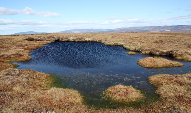
A 686m heather summit in the Cromdale and Hills of Cromdale group, looking south over Strathspey to the main Cairngorm escarpment. The Gaelic name is generally rendered as cairn of the muster, hinting at gatherings of clansmen here before the 1745 Battle of Cromdale.
Quick facts
- Height
- 686.3m/ 2252ft
- Prominence
- 144 m
- Grid ref
- NJ 11449 14743
- Nearest city
- Inverness· 54km
- Dogs
- Dogs on lead required near livestockDog-friendly guide ↗
Sub-Marilyn: 144m of drop — misses the 150m Marilyn cut by 6m. We keep it on the list as a near-miss.
Height and prominence cross-checked against the Database of British and Irish Hills (CC BY).
No GPX track yet
Walked this route? Share your track to help other walkers.
Standard route
heather moorland 65% · grass slopes 25% · rocky summit 10%
A landrover track leaves the Bridge of Brown road and climbs steadily up the southern flank, with the path becoming faint near the top. Strike for the broad summit dome — about 9km return in 3 to 4 hours.
Terrain
Hard-packed estate track for the first two thirds, then peaty heather with intermittent quad-bike trails. Some boggy ground around the watershed needs careful stepping.
In winter
Despite the modest height, this hill sits in the dry continental climate of upper Strathspey and holds powder snow well. Skis are sometimes a better tool than boots in mid winter.
This hill is in the Northern Cairngorms SAIS forecast area. Check SAIS forecasts in winter (December–April).
Best time of year
Getting there
- Glasgow4h 3m
- Edinburgh3h 21m
OS maps: OS Landranger 36, OS Explorer 058N, OS Explorer 404N
Mobile signal: Good signal throughout; EE behaves well. Fine Deeside viewpoint.
Current conditions
Daylight Today
- Sunrise
- 05:07
- Sunset
- 21:34
- Civil dawn
- 04:15
- Civil dusk
- 22:26
NOAA Solar Calculator · 30 July 2026
Around Carn na Farraidh on the SCOT network
Getting there, basing yourself, and what to do off the hill.
Getting there: Aviemore station
Cairngorm plateau; Lairig Ghru; Speyside Way; Glenmore
22km from the hill
tripscot.co.uk
On TripSCOTBase yourself in Aviemore
Cairngorms base — Strathspey valley, ski centre, train
22km from the hill
tripscot.co.uk
On TasteSCOTAfter the hill: Tomintoul
Tomintoul village — the gentle Speysider in the eastern Cairngorms
6km from the hill
tastescot.co.uk
Carn na Farraidh — common questions
- What difficulty is Carn na Farraidh?
- On the OutdoorSCOT scale, Carn na Farraidh comes in at 2/5 — moderate. Terrain: Hard-packed estate track for the first two thirds, then peaty heather with intermittent quad-bike trails.
- How prominent is Carn na Farraidh?
- Carn na Farraidh has 144m of topographic prominence — the height of its summit above the highest col connecting it to higher ground. That leaves it 6m short of the 150m drop a Marilyn needs — DoBIH classes it a sub-Marilyn, a near-miss rather than a full Marilyn.
- When should I climb Carn na Farraidh?
- The standard good-weather months for Carn na Farraidh are March, April, May, June, July, August, September, October. Outside those months, expect winter conditions on the high ground — full mountain kit, navigation skills, and a check of the SAIS avalanche forecast for the relevant region.
- Can I bring my dog up Carn na Farraidh?
- On a lead only — the route crosses ground with livestock or nesting-bird interest.
- What's mobile reception like on Carn na Farraidh?
- Good signal throughout; EE behaves well. Fine Deeside viewpoint.
- Is Carn na Farraidh safe in winter?
- Despite the modest height, this hill sits in the dry continental climate of upper Strathspey and holds powder snow well. Skis are sometimes a better tool than boots in mid winter.
Get the OutdoorSCOT weekly
One email a week — new route, hill and bothy guides, seasonal conditions and the odd hard-won lesson. No spam, unsubscribe in one click.