Marilyn · Kintail
Carn Fiaclach
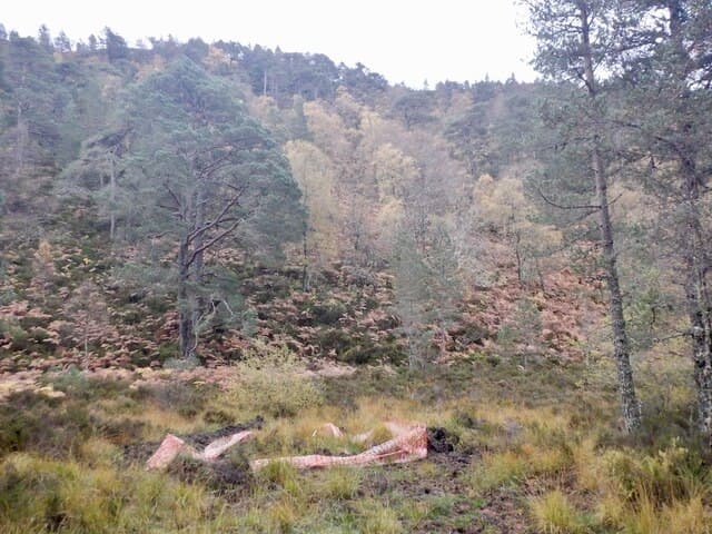
Carn Fiaclach — the toothed cairn — rises to 457m at NH 278 272 on the southern fringe of Strathconon. The name refers to the broken rocky teeth of crags that crown the summit, visible from the Orrin reservoir below.
Quick facts
- Height
- 457m/ 1499ft
- Prominence
- 154 m
- Grid ref
- NH 27893 27237
- Nearest city
- Inverness· 43km
- Dogs
- Dogs on lead required near livestockDog-friendly guide ↗
Height and prominence cross-checked against the Database of British and Irish Hills (CC BY).
No GPX track yet
Walked this route? Share your track to help other walkers.
Standard route
heather moorland 55% · rocky slopes 30% · grass slopes 15%
A track from Aultgowrie heads up the Orrin glen; leave it where the ground levels and strike north onto the heather slopes. Pathless above the track but easy navigation in clear weather. Around 3 hours round trip.
Terrain
Estate track for the first kilometre, then deep heather and peat hags. The summit teeth are easily turned on the south side; ground is firmer on the immediate top.
In winter
A low Ross-shire hill that often stays under the snowline. The peat hags freeze hard and make for easier walking; visibility on the broken summit demands map and compass when cloud is down.
Best time of year
Getting there
- Glasgow4h 3m
- Edinburgh6h 33m
OS maps: OS Landranger 25, OS Explorer 415
Mobile signal: Poor. Remote Strathconon/Ross-shire; limited coverage.
Current conditions
Daylight Today
- Sunrise
- 05:12
- Sunset
- 21:40
- Civil dawn
- 04:19
- Civil dusk
- 22:32
NOAA Solar Calculator · 30 July 2026
Around Carn Fiaclach on the SCOT network
Getting there, basing yourself, and what to do off the hill.
Carn Fiaclach — common questions
- What difficulty is Carn Fiaclach?
- On the OutdoorSCOT scale, Carn Fiaclach comes in at 1/5 — easy. Ground conditions: Estate track for the first kilometre, then deep heather and peat hags.
- How much drop does Carn Fiaclach have?
- The drop is 154m: measured from the summit of Carn Fiaclach down to the saddle joining it to higher terrain. Passing the 150m-drop threshold on all sides is exactly what makes it a Marilyn.
- What's the best month to climb Carn Fiaclach?
- Aim for March, April, May, June, July, August, September, October on Carn Fiaclach. In the remaining months treat it as a winter hill — full kit, solid navigation, and a look at the relevant SAIS avalanche forecast before you go.
- Can dogs go up Carn Fiaclach?
- Dogs are fine on a lead. The route passes livestock or ground-nesting bird habitat, so keep them close throughout.
- Will I get phone signal on Carn Fiaclach?
- Poor. Remote Strathconon/Ross-shire; limited coverage.
- Is Carn Fiaclach safe in winter?
- A low Ross-shire hill that often stays under the snowline. The peat hags freeze hard and make for easier walking; visibility on the broken summit demands map and compass when cloud is down.
Get the OutdoorSCOT weekly
One email a week — new route, hill and bothy guides, seasonal conditions and the odd hard-won lesson. No spam, unsubscribe in one click.