Marilyn · Kintail
Meall Innis an Loichel
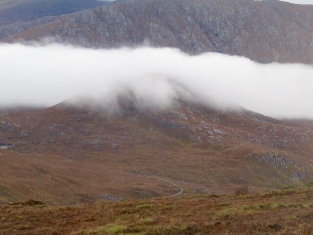
Meall Innis an Loichel — the lump of the little loch's meadow — reaches 390m at NH 204 389 between Strathconon and Glen Orrin. A small lochan tucked into the eastern flank, with reedy ground around it, gives the hill its descriptive Gaelic name.
Quick facts
- Height
- 390m/ 1280ft
- Prominence
- 171 m
- Grid ref
- NH 20423 38948
- Nearest city
- Inverness· 46km
- Dogs
- Dogs on lead required near livestockDog-friendly guide ↗
Height and prominence cross-checked against the Database of British and Irish Hills (CC BY).
No GPX track yet
Walked this route? Share your track to help other walkers.
Standard route
heather and bog 65% · grass slopes 25% · rocky summit 10%
From Inverchoran in Strathconon, take the estate track up Gleann Fhiodhaig for a short distance then strike north over rough ground. The summit is a gentle rise from the surrounding moor. Around 3-4 hours.
Terrain
Estate track on the lower approach. Above the track the ground is consistently boggy with deep sphagnum hollows; the lochan side stays sodden even in dry summers. Summit firmer with cropped grass.
In winter
A low Marilyn that benefits from frost — the persistent bog freezes hard and walking speeds up. Snowfall here is light and short-lived; the main winter consideration is short daylight.
Best time of year
Getting there
- Glasgow4h 26m
- Edinburgh6h 59m
OS maps: OS Landranger 25, OS Explorer 430
Mobile signal: Poor. No dependable coverage; EE dies at the trailhead.
Current conditions
Daylight Today
- Sunrise
- 05:12
- Sunset
- 21:41
- Civil dawn
- 04:19
- Civil dusk
- 22:34
NOAA Solar Calculator · 30 July 2026
Around Meall Innis an Loichel on the SCOT network
Getting there, basing yourself, and what to do off the hill.
Meall Innis an Loichel — common questions
- How difficult is Meall Innis an Loichel?
- Meall Innis an Loichel carries a 1/5 (easy) grade on the OutdoorSCOT scale. Ground conditions: Estate track on the lower approach.
- How much drop does Meall Innis an Loichel have?
- The drop is 171m: measured from the summit of Meall Innis an Loichel down to the saddle joining it to higher terrain. Passing the 150m-drop threshold on all sides is exactly what makes it a Marilyn.
- What's the best month to climb Meall Innis an Loichel?
- Aim for March, April, May, June, July, August, September, October on Meall Innis an Loichel. In the remaining months treat it as a winter hill — full kit, solid navigation, and a look at the relevant SAIS avalanche forecast before you go.
- Can dogs go up Meall Innis an Loichel?
- Dogs are fine on a lead. The route passes livestock or ground-nesting bird habitat, so keep them close throughout.
- Will I get phone signal on Meall Innis an Loichel?
- Poor. No dependable coverage; EE dies at the trailhead.
- Is Meall Innis an Loichel safe in winter?
- A low Marilyn that benefits from frost — the persistent bog freezes hard and walking speeds up. Snowfall here is light and short-lived; the main winter consideration is short daylight.
Get the OutdoorSCOT weekly
One email a week — new route, hill and bothy guides, seasonal conditions and the odd hard-won lesson. No spam, unsubscribe in one click.