Marilyn · Cairngorms
Cairn-mon-earn
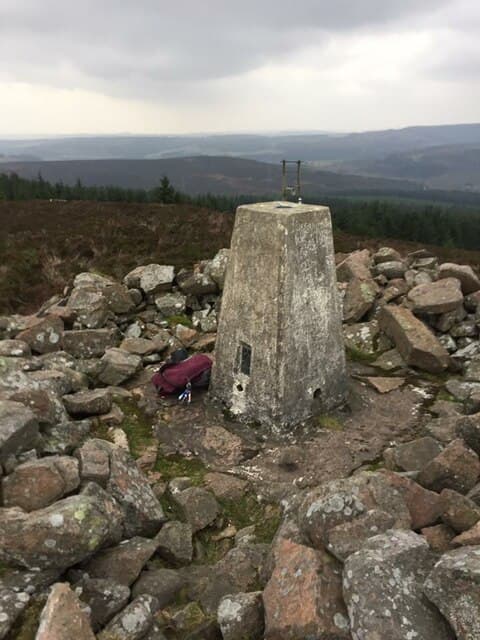
Cairn-mon-earn — the cairn of the iron — is a 378m heather hill above Stonehaven on the Aberdeenshire coast. A Bronze Age burial cairn caps the summit, and the rusty water of the springs below gave the hill its descriptive name. The east-facing flank looks out directly to the North Sea.
Quick facts
- Height
- 378.5m/ 1242ft
- Prominence
- 152 m
- Grid ref
- NO 78262 91920
- Nearest city
- Aberdeen· 22km
- Dogs
- Dogs on lead required near livestockDog-friendly guide ↗
Height and prominence cross-checked against the Database of British and Irish Hills (CC BY).
No GPX track yet
Walked this route? Share your track to help other walkers.
Standard route
heather moorland 65% · grass slopes 25% · rocky summit 10%
From the layby at Glenbervie crossroads, follow a forest road climbing west before turning off onto a stalkers path. A short heather pull reaches the ancient cairn and the trig pillar. Roughly 6km return in 2 hours.
Terrain
Compacted forest road most of the way, with a final stony track through heather. The summit cairn is large enough to give some wind shelter for a brew stop.
In winter
Snow rarely lies for more than a day or two given the maritime position. Frost on the forest road can be slick; spikes are useful in January and February for the steeper uphill section.
This hill is in the Northern Cairngorms SAIS forecast area. Check SAIS forecasts in winter (December–April).
Best time of year
Getting there
- Glasgow6h 44m
- Edinburgh4h 30m
OS maps: OS Landranger 38, OS Landranger 45, OS Explorer 396, OS Explorer 406E
Mobile signal: Good summit signal; EE works well. Mearns viewpoint with views to Stonehaven.
Current conditions
Daylight Today
- Sunrise
- 05:04
- Sunset
- 21:28
- Civil dawn
- 04:12
- Civil dusk
- 22:20
NOAA Solar Calculator · 30 July 2026
Around Cairn-mon-earn on the SCOT network
Getting there, basing yourself, and what to do off the hill.
Cairn-mon-earn — common questions
- How hard is Cairn-mon-earn?
- We grade Cairn-mon-earn at 1/5, which puts it in easy territory. Terrain: Compacted forest road most of the way, with a final stony track through heather.
- How prominent is Cairn-mon-earn?
- Cairn-mon-earn has 152m of topographic prominence — the height of its summit above the highest col connecting it to higher ground. Marilyns are defined by that measure: at least 150m of drop on all sides.
- When should I climb Cairn-mon-earn?
- The standard good-weather months for Cairn-mon-earn are March, April, May, June, July, August, September, October. Outside those months, expect winter conditions on the high ground — full mountain kit, navigation skills, and a check of the SAIS avalanche forecast for the relevant region.
- Can I bring my dog up Cairn-mon-earn?
- On a lead only — the route crosses ground with livestock or nesting-bird interest.
- What's mobile reception like on Cairn-mon-earn?
- Good summit signal; EE works well. Mearns viewpoint with views to Stonehaven.
- Is Cairn-mon-earn safe in winter?
- Snow rarely lies for more than a day or two given the maritime position. Frost on the forest road can be slick; spikes are useful in January and February for the steeper uphill section.
Get the OutdoorSCOT weekly
One email a week — new route, hill and bothy guides, seasonal conditions and the odd hard-won lesson. No spam, unsubscribe in one click.