Marilyn · Skye & The Small Isles
Biod Mor
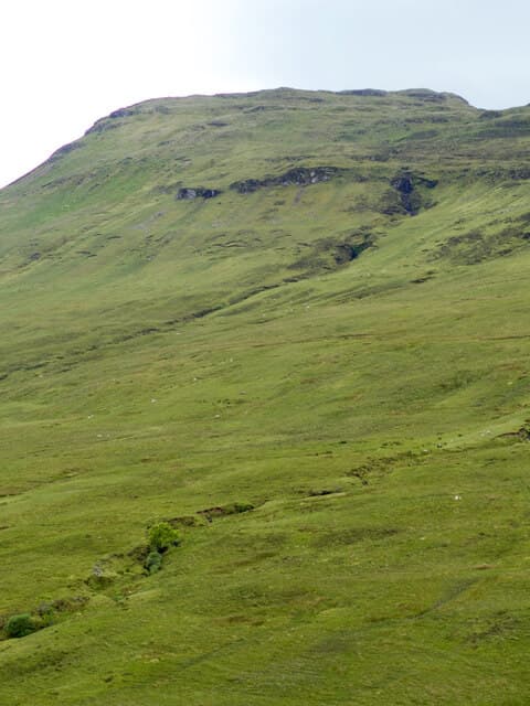
Biod Mor (the big point) at 384m perches above Loch Bracadale in west Skye, looking out to the iconic sea stacks of Macleod's Maidens. The walk combines moorland with one of the most dramatic coastal panoramas on the island.
Gaelic: “big” · Pronunciation: biod more
Quick facts
- Height
- 384m/ 1260ft
- Prominence
- 192 m
- Grid ref
- NG 37066 27384
- Dogs
- Dogs on lead required near livestockDog-friendly guide ↗
Height and prominence cross-checked against the Database of British and Irish Hills (CC BY).
No GPX track yet
Walked this route? Share your track to help other walkers.
Standard route
heather moorland 50% · rocky slopes 35% · grass slopes 15%
Start from Orbost and follow the Macleod's Maidens track south, branching off to climb the open hillside before the cliff edge. Around 12 km return with modest ascent.
Terrain
Good landrover track for most of the distance, then heathery moor with peat hags. Cliff edges are unfenced — stay back in strong winds.
In winter
Track approach makes this practical in winter. Atlantic squalls can be ferocious so close to the open sea cliffs.
Best time of year
Getting there
- Glasgow7h 33m
- Edinburgh9h 53m
OS maps: OS Landranger 32, OS Explorer 411
Mobile signal: Poor. Every network fails on this remote Skye hill.
Current conditions
Daylight Today
- Sunrise
- 06:53
- Sunset
- 19:49
- Civil dawn
- 06:14
- Civil dusk
- 20:28
NOAA Solar Calculator · 14 September 2026
Around Biod Mor on the SCOT network
Getting there, basing yourself, and what to do off the hill.
Getting there: Kyle of Lochalsh station
Skye Bridge; Five Sisters of Kintail; Glen Shiel; Plockton
39km from the hill
tripscot.co.uk
On TripSCOTBase yourself in Portree
Main Skye base — Cuillin, Trotternish, Storr
20km from the hill
tripscot.co.uk
On TasteSCOTAfter the hill: Talisker
Carbost on Skye — Cuillin foothills distillery; peppery, maritime, big-bodied
5km from the hill
tastescot.co.uk
Biod Mor — common questions
- How hard is Biod Mor?
- We grade Biod Mor at 1/5, which puts it in easy territory. Underfoot: Good landrover track for most of the distance, then heathery moor with peat hags.
- What is Biod Mor's prominence?
- 192m of prominence. That's the vertical drop from the summit to the col that links Biod Mor to the next higher ground. That drop is what qualifies it as a Marilyn — a hill with at least 150m of descent on every side.
- When is the best time to climb Biod Mor?
- March, April, May, June, July, August, September, October give the most reliable conditions on Biod Mor. Beyond that window the high ground turns wintry: carry full mountain kit, be confident navigating, and check the SAIS avalanche forecast for the area.
- Is Biod Mor dog-friendly?
- Yes, but dogs must be kept on a lead — there is livestock or ground-nesting bird interest on the route.
- Is there mobile signal on Biod Mor?
- Poor. Every network fails on this remote Skye hill.
- Is Biod Mor safe in winter?
- Track approach makes this practical in winter. Atlantic squalls can be ferocious so close to the open sea cliffs.
Get the OutdoorSCOT weekly
One email a week — new route, hill and bothy guides, seasonal conditions and the odd hard-won lesson. No spam, unsubscribe in one click.