Marilyn · North-West Highlands
Ben Griam Beg
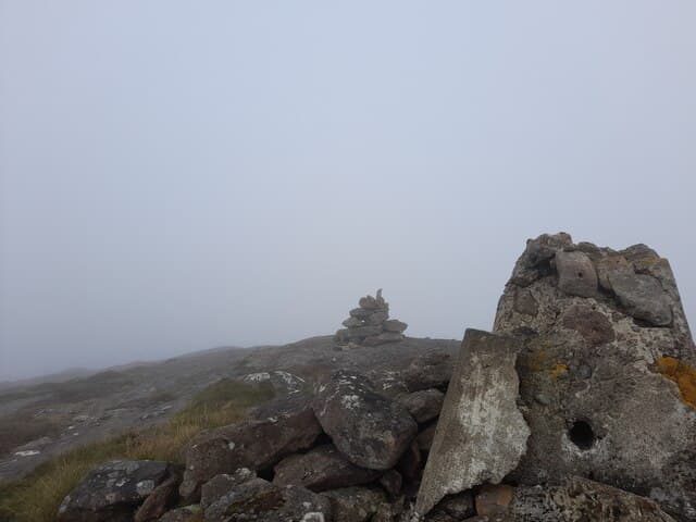
Ben Griam Beg is the slightly lower 579m partner to Ben Griam Mor, lying just to the northeast in the NC83 grid square. It carries the remains of one of Scotland's highest Iron Age hillforts on its eastern flank.
Quick facts
- Height
- 579.8m/ 1902ft
- Prominence
- 335 m
- Grid ref
- NC 83186 41165
- Nearest city
- Inverness· 97km
- Dogs
- Dogs on lead required near livestockDog-friendly guide ↗
Height and prominence cross-checked against the Database of British and Irish Hills (CC BY).
No GPX track yet
Walked this route? Share your track to help other walkers.
Standard route
blanket bog 50% · heather moorland 30% · rocky summit 20%
Often combined with Ben Griam Mor; alternatively reach it directly from the A897, crossing the watershed to gain the southern ridge. Roughly 4 hours alone or 7-8 hours as a pair.
Terrain
Mixed sandstone and gneiss, with the Iron Age fort's tumbled walls easily missed in heather. The summit cairn sits on a small sandstone tor.
In winter
A relatively dry hill by Flow Country standards; the upper sandstone drains well. Cold-clear winter days reveal the Pentland Firth gleaming to the north.
This hill is in the Torridon SAIS forecast area. Check SAIS forecasts in winter (December–April).
Best time of year
Getting there
- Glasgow6h 27m
- Edinburgh7h 32m
OS maps: OS Landranger 10, OS Explorer 449S
Mobile signal: Poor. Very remote Sutherland; limited coverage.
Current conditions
Daylight Today
- Sunrise
- 05:02
- Sunset
- 21:42
- Civil dawn
- 04:07
- Civil dusk
- 22:38
NOAA Solar Calculator · 30 July 2026
Pair with
Curated multi-hill combinations from Ben Griam Beg.
Around Ben Griam Beg on the SCOT network
Getting there, basing yourself, and what to do off the hill.
Ben Griam Beg — common questions
- Is Ben Griam Beg a hard climb?
- Ben Griam Beg is rated 2/5 (moderate) on the OutdoorSCOT scale. Terrain: Mixed sandstone and gneiss, with the Iron Age fort's tumbled walls easily missed in heather.
- How prominent is Ben Griam Beg?
- Ben Griam Beg has 335m of topographic prominence — the height of its summit above the highest col connecting it to higher ground. Marilyns are defined by that measure: at least 150m of drop on all sides.
- When should I climb Ben Griam Beg?
- The standard good-weather months for Ben Griam Beg are March, April, May, June, July, August, September, October. Outside those months, expect winter conditions on the high ground — full mountain kit, navigation skills, and a check of the SAIS avalanche forecast for the relevant region.
- Can I bring my dog up Ben Griam Beg?
- On a lead only — the route crosses ground with livestock or nesting-bird interest.
- What's mobile reception like on Ben Griam Beg?
- Poor. Very remote Sutherland; limited coverage.
- Is Ben Griam Beg safe in winter?
- A relatively dry hill by Flow Country standards; the upper sandstone drains well. Cold-clear winter days reveal the Pentland Firth gleaming to the north.
Get the OutdoorSCOT weekly
One email a week — new route, hill and bothy guides, seasonal conditions and the odd hard-won lesson. No spam, unsubscribe in one click.