Marilyn · North-West Highlands
Beinn nam Ban
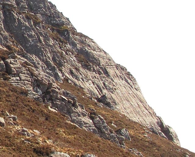
Beinn nam Ban — the women's hill — rises to 580m at NH 108 908 on the wild moorland between Loch Ewe and Little Loch Broom. The Gaelic name is shared with hills elsewhere and may refer to traditional shielings worked by women, or to features once visited only by women in seasonal patterns.
Gaelic: “mountain, of the, fair” · Pronunciation: bine nam bahn
Quick facts
- Height
- 580m/ 1903ft
- Prominence
- 243 m
- Grid ref
- NH 10897 90816
- Nearest city
- Inverness· 72km
- Dogs
- Dogs on lead required near livestockDog-friendly guide ↗
Height and prominence cross-checked against the Database of British and Irish Hills (CC BY).
No GPX track yet
Walked this route? Share your track to help other walkers.
Standard route
heather moorland 65% · grass slopes 25% · rocky summit 10%
A long approach from the A832 near Inverbroom or alternatively from Aultbea. Stalkers' paths help for part of the way; the upper reaches are pathless across the typical Lewisian knock-and-lochan landscape. About 6 hours.
Terrain
Peat and lochan country at its boggiest — small open pools, deep hags and gneiss knolls all the way. The summit area is firmer underfoot but the approach is the slow business of this walk.
In winter
Far enough north and high enough to hold patchy snow into spring. The lochans freeze across in cold snaps, easing navigation; in thaws they become traps. A serious half-day in winter; experience required.
This hill is in the Torridon SAIS forecast area. Check SAIS forecasts in winter (December–April).
Best time of year
Getting there
- Glasgow6h 44m
- Edinburgh7h 10m
OS maps: OS Landranger 19, OS Explorer 435N
Mobile signal: Expect little. EE gives nothing on summit; remote Ross-shire coverage is very limited.
Current conditions
Daylight Today
- Sunrise
- 05:10
- Sunset
- 21:44
- Civil dawn
- 04:16
- Civil dusk
- 22:39
NOAA Solar Calculator · 30 July 2026
Around Beinn nam Ban on the SCOT network
Getting there, basing yourself, and what to do off the hill.
Beinn nam Ban — common questions
- How hard is Beinn nam Ban?
- We grade Beinn nam Ban at 2/5, which puts it in moderate territory. Ground conditions: Peat and lochan country at its boggiest — small open pools, deep hags and gneiss knolls all the way.
- How much drop does Beinn nam Ban have?
- The drop is 243m: measured from the summit of Beinn nam Ban down to the saddle joining it to higher terrain. Passing the 150m-drop threshold on all sides is exactly what makes it a Marilyn.
- What's the best month to climb Beinn nam Ban?
- Aim for March, April, May, June, July, August, September, October on Beinn nam Ban. In the remaining months treat it as a winter hill — full kit, solid navigation, and a look at the relevant SAIS avalanche forecast before you go.
- Can dogs go up Beinn nam Ban?
- Dogs are fine on a lead. The route passes livestock or ground-nesting bird habitat, so keep them close throughout.
- Will I get phone signal on Beinn nam Ban?
- Expect little. EE gives nothing on summit; remote Ross-shire coverage is very limited.
- Is Beinn nam Ban safe in winter?
- Far enough north and high enough to hold patchy snow into spring. The lochans freeze across in cold snaps, easing navigation; in thaws they become traps. A serious half-day in winter; experience required.
Get the OutdoorSCOT weekly
One email a week — new route, hill and bothy guides, seasonal conditions and the odd hard-won lesson. No spam, unsubscribe in one click.