Marilyn · Skye
Beinn na h-Iolaire
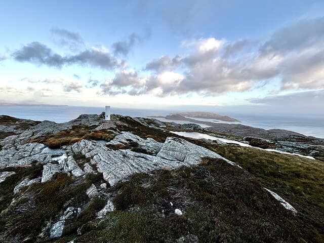
Beinn na h-Iolaire — the Eagle Hill — occupies the northern half of the Isle of Raasay, the NG 59 50 grid placing it on the wild uninhabited moorland north of Dun Caan. The hill is a known nesting area for sea eagles and overlooks the south end of the Sound of Rona.
Gaelic: “mountain, of the, eagle” · Pronunciation: bine na h ull-ar-a
Quick facts
- Height
- 254m/ 833ft
- Prominence
- 192 m
- Grid ref
- NG 59988 50248
- Dogs
- Dogs on lead required near livestockDog-friendly guide ↗
Height and prominence cross-checked against the Database of British and Irish Hills (CC BY).
No GPX track yet
Walked this route? Share your track to help other walkers.
Standard route
heather moorland 55% · rocky slopes 30% · grass slopes 15%
Take the ferry from Sconser to Raasay, then drive or cycle north to the road end at Brochel Castle (NG 58 46). Walk north-west across pathless moor to gain the summit, returning the same way. About 8 km return on foot with 280m of climb.
Terrain
Trackless heather, wet hollows and frequent gneiss outcrops. The northern half of Raasay is rougher going than the south despite the lower elevation.
In winter
Low sea-level base means snow rarely accumulates. Ferry sailings can be disrupted by winter storms, and the trackless approach is far harder when the bogs are not frozen.
Best time of year
Getting there
- Glasgow6h 11m
- Edinburgh8h 17m
OS maps: OS Landranger 24, OS Explorer 409
Mobile signal: Poor. No signal anywhere here; remote Skye glen has limited infrastructure.
Current conditions
Daylight Today
- Sunrise
- 05:16
- Sunset
- 21:45
- Civil dawn
- 04:22
- Civil dusk
- 22:39
NOAA Solar Calculator · 30 July 2026
Around Beinn na h-Iolaire on the SCOT network
Getting there, basing yourself, and what to do off the hill.
Getting there: Plockton station
Coastal Wester Ross; Plockton village; Skye Bridge approach
27km from the hill
tripscot.co.uk
On TripSCOTBase yourself in Portree
Main Skye base — Cuillin, Trotternish, Storr
14km from the hill
tripscot.co.uk
On TasteSCOTAfter the hill: Isle of Raasay Distillery
Raasay — new island distillery with rooms; Dun Caan walks from the door
15km from the hill
tastescot.co.uk
Beinn na h-Iolaire — common questions
- How hard is Beinn na h-Iolaire?
- We grade Beinn na h-Iolaire at 1/5, which puts it in easy territory. Ground conditions: Trackless heather, wet hollows and frequent gneiss outcrops.
- How much drop does Beinn na h-Iolaire have?
- The drop is 192m: measured from the summit of Beinn na h-Iolaire down to the saddle joining it to higher terrain. Passing the 150m-drop threshold on all sides is exactly what makes it a Marilyn.
- What's the best month to climb Beinn na h-Iolaire?
- Aim for March, April, May, June, July, August, September, October on Beinn na h-Iolaire. In the remaining months treat it as a winter hill — full kit, solid navigation, and a look at the relevant SAIS avalanche forecast before you go.
- Can dogs go up Beinn na h-Iolaire?
- Dogs are fine on a lead. The route passes livestock or ground-nesting bird habitat, so keep them close throughout.
- Will I get phone signal on Beinn na h-Iolaire?
- Poor. No signal anywhere here; remote Skye glen has limited infrastructure.
- Is Beinn na h-Iolaire safe in winter?
- Low sea-level base means snow rarely accumulates. Ferry sailings can be disrupted by winter storms, and the trackless approach is far harder when the bogs are not frozen.
Get the OutdoorSCOT weekly
One email a week — new route, hill and bothy guides, seasonal conditions and the odd hard-won lesson. No spam, unsubscribe in one click.