Marilyn · Kintail
Beinn Conchra
Beinn Conchra rises to 453m at NG 887 291 directly above the village of Dornie at the meeting of Loch Long, Loch Alsh and Loch Duich. The name is tentatively linked to a personal name; whatever its origin, the hill offers one of the finest low-level viewpoints in Kintail, overlooking Eilean Donan castle.
Quick facts
- Height
- 453m/ 1486ft
- Prominence
- 205 m
- Grid ref
- NG 88723 29159
- Nearest city
- Inverness· 79km
- Dogs
- Dogs on lead required near livestockDog-friendly guide ↗
Height and prominence cross-checked against the Database of British and Irish Hills (CC BY).
No GPX track yet
Walked this route? Share your track to help other walkers.
Standard route
heather moorland 55% · grass slopes 30% · rocky summit 15%
Park near Carr Brae and follow the old road south. A faint path leaves the road to climb west onto the southern shoulder, with the summit reached after a short pull on grass and heather. Allow 2-3 hours.
Terrain
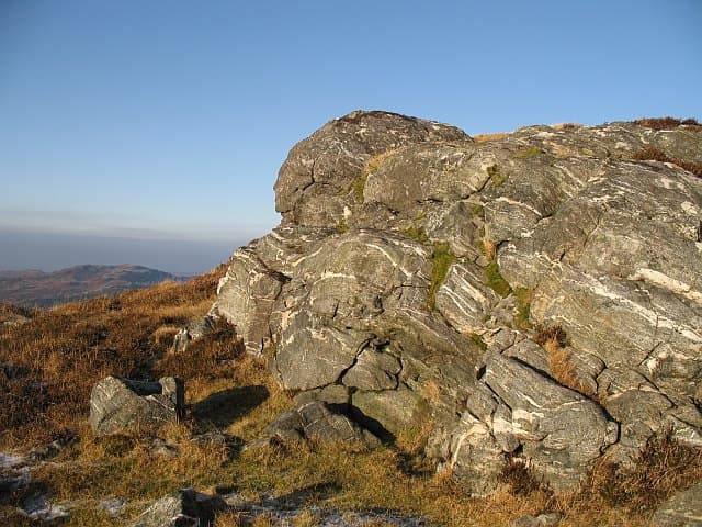
Tarmac approach then a damp footpath through bracken and birch. Above the treeline the going is on short heather and grass, with a few small outcrops near the trig point.
In winter
Right on the coast and seldom holding lasting snow. After cold spells the boggy lower slopes ice over; otherwise a year-round walk. Daylight is the main winter limiter.
Best time of year
Getting there
- Glasgow5h 57m
- Edinburgh7h 57m
OS maps: OS Landranger 33, OS Explorer 413N, OS Explorer 428S
Mobile signal: Poor. Remote Kintail/Glenelg area; limited coverage.
Current conditions
Daylight Today
- Sunrise
- 05:15
- Sunset
- 21:42
- Civil dawn
- 04:22
- Civil dusk
- 22:35
NOAA Solar Calculator · 30 July 2026
Around Beinn Conchra on the SCOT network
Getting there, basing yourself, and what to do off the hill.
Beinn Conchra — common questions
- Is Beinn Conchra a hard climb?
- Beinn Conchra is rated 1/5 (easy) on the OutdoorSCOT scale. Underfoot: Tarmac approach then a damp footpath through bracken and birch.
- What is Beinn Conchra's prominence?
- 205m of prominence. That's the vertical drop from the summit to the col that links Beinn Conchra to the next higher ground. That drop is what qualifies it as a Marilyn — a hill with at least 150m of descent on every side.
- When is the best time to climb Beinn Conchra?
- March, April, May, June, July, August, September, October give the most reliable conditions on Beinn Conchra. Beyond that window the high ground turns wintry: carry full mountain kit, be confident navigating, and check the SAIS avalanche forecast for the area.
- Is Beinn Conchra dog-friendly?
- Yes, but dogs must be kept on a lead — there is livestock or ground-nesting bird interest on the route.
- Is there mobile signal on Beinn Conchra?
- Poor. Remote Kintail/Glenelg area; limited coverage.
- Is Beinn Conchra safe in winter?
- Right on the coast and seldom holding lasting snow. After cold spells the boggy lower slopes ice over; otherwise a year-round walk. Daylight is the main winter limiter.
Get the OutdoorSCOT weekly
One email a week — new route, hill and bothy guides, seasonal conditions and the odd hard-won lesson. No spam, unsubscribe in one click.