Marilyn · Skye
Beinn Bhreac
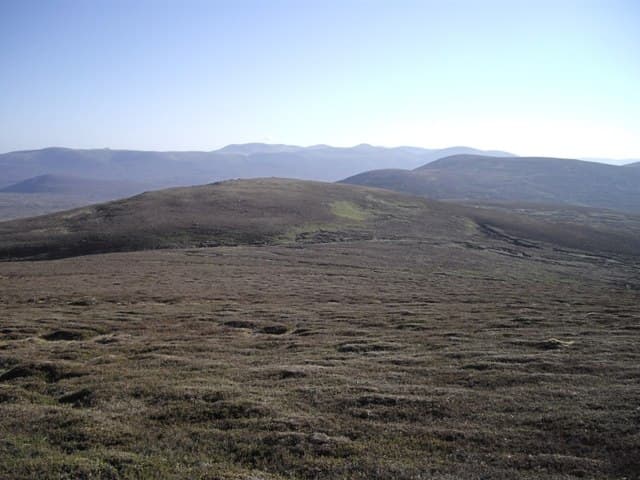
This Beinn Bhreac — the Speckled Hill — is on the western side of the Waternish peninsula, the NG 25 53 grid placing it directly west of Beinn Chreagach above Loch Bay. The two hills make a natural pair across a small grassy bealach, both sharing the characteristic speckled appearance of weathered basalt knolls.
Quick facts
- Height
- 329m/ 1079ft
- Prominence
- 241 m
- Grid ref
- NG 25365 53070
- Dogs
- Dogs on lead required near livestockDog-friendly guide ↗
Height and prominence cross-checked against the Database of British and Irish Hills (CC BY).
No GPX track yet
Walked this route? Share your track to help other walkers.
Standard route
heather moorland 55% · rocky slopes 30% · grass slopes 15%
From the road end at Trumpan (NG 22 61), follow the rough track south across open heather, then climb the broad north ridge. The summit cairn perches on a small rocky cap with views over Loch Snizort to the Outer Hebrides. About 8 km return with 320m of climb.
Terrain
Pathless heather and grass with scattered basalt boulders giving the speckled appearance. Drier than most Skye hills thanks to its rocky character and modest height.
In winter
Coastal location keeps snow accumulation minimal but sea spray combined with frost makes the rocky cap surprisingly slippery. Wind exposure on the summit ridge is severe in any westerly weather.
Best time of year
Getting there
- Glasgow7h 21m
- Edinburgh10h 38m
OS maps: OS Landranger 23, OS Explorer 407
Mobile signal: Poor. Remote Hebridean island; limited coverage.
Current conditions
Daylight Today
- Sunrise
- 05:18
- Sunset
- 21:48
- Civil dawn
- 04:25
- Civil dusk
- 22:41
NOAA Solar Calculator · 30 July 2026
Around Beinn Bhreac on the SCOT network
Getting there, basing yourself, and what to do off the hill.
Getting there: Kyle of Lochalsh station
Skye Bridge; Five Sisters of Kintail; Glen Shiel; Plockton
57km from the hill
tripscot.co.uk
On TripSCOTBase yourself in Portree
Main Skye base — Cuillin, Trotternish, Storr
25km from the hill
tripscot.co.uk
On TasteSCOTAfter the hill: Talisker
Carbost on Skye — Cuillin foothills distillery; peppery, maritime, big-bodied
24km from the hill
tastescot.co.uk
Beinn Bhreac — common questions
- What difficulty is Beinn Bhreac?
- On the OutdoorSCOT scale, Beinn Bhreac comes in at 1/5 — easy. Terrain: Pathless heather and grass with scattered basalt boulders giving the speckled appearance.
- How prominent is Beinn Bhreac?
- Beinn Bhreac has 241m of topographic prominence — the height of its summit above the highest col connecting it to higher ground. Marilyns are defined by that measure: at least 150m of drop on all sides.
- When should I climb Beinn Bhreac?
- The standard good-weather months for Beinn Bhreac are March, April, May, June, July, August, September, October. Outside those months, expect winter conditions on the high ground — full mountain kit, navigation skills, and a check of the SAIS avalanche forecast for the relevant region.
- Can I bring my dog up Beinn Bhreac?
- On a lead only — the route crosses ground with livestock or nesting-bird interest.
- What's mobile reception like on Beinn Bhreac?
- Poor. Remote Hebridean island; limited coverage.
- Is Beinn Bhreac safe in winter?
- Coastal location keeps snow accumulation minimal but sea spray combined with frost makes the rocky cap surprisingly slippery. Wind exposure on the summit ridge is severe in any westerly weather.
Get the OutdoorSCOT weekly
One email a week — new route, hill and bothy guides, seasonal conditions and the odd hard-won lesson. No spam, unsubscribe in one click.