Marilyn · Glen Coe & Lochaber
Beinn a' Chuirn
Beinn a' Chuirn — the hill of the cairn — is a 569m Marilyn in NN-square Argyll, sitting on the south side of Glen Lochy between Tyndrum and Dalmally. The summit looks east into Cononish under Ben Lui and west down the glen to the gold mine and the River Lochy curving toward Loch Awe.
Quick facts
- Height
- 569.4m/ 1868ft
- Prominence
- 159 m
- Grid ref
- NN 21718 37310
- Nearest city
- Oban· 36km
- Dogs
- Dogs on lead required near livestockDog-friendly guide ↗
Height and prominence cross-checked against the Database of British and Irish Hills (CC BY).
No GPX track yet
Walked this route? Share your track to help other walkers.
Standard route
heather and bog 65% · grass slopes 20% · rocky summit 15%
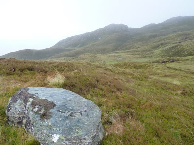
The shortest line begins at the Glen Lochy lay-by on the A85 west of Tyndrum, crossing the railway by the underpass at Cononish and climbing rough heather onto the broad east ridge. There is no built path; the upper crest is easy walking on stripped quartzite to a substantial summit cairn.
Terrain
Boggy haughs by the River Lochy give way to mossy rake-and-step ground above 300m, with quartzite blocks on the crest. The railway line and adjacent burn must be crossed safely on the approach.
In winter
Sheltered from the worst of the west wind by Ben Lui, the hill nevertheless holds snow well in its corrie. The river crossing can be impassable after a thaw; check water level at Tyndrum bridge before committing.
This hill is in the Glen Coe SAIS forecast area. Check SAIS forecasts in winter (December–April).
Best time of year
Getting there
- Glasgow2h 20m
- Edinburgh5h 38m
OS maps: OS Landranger 50, OS Explorer 377E
Mobile signal: Poor. Remote Argyll interior; limited coverage.
Current conditions
Daylight Today
- Sunrise
- 05:17
- Sunset
- 21:35
- Civil dawn
- 04:26
- Civil dusk
- 22:26
NOAA Solar Calculator · 30 July 2026
Around Beinn a' Chuirn on the SCOT network
Getting there, basing yourself, and what to do off the hill.
Beinn a' Chuirn — common questions
- How difficult is Beinn a' Chuirn?
- Beinn a' Chuirn carries a 2/5 (moderate) grade on the OutdoorSCOT scale. Underfoot: Boggy haughs by the River Lochy give way to mossy rake-and-step ground above 300m, with quartzite blocks on the crest.
- What is Beinn a' Chuirn's prominence?
- 159m of prominence. That's the vertical drop from the summit to the col that links Beinn a' Chuirn to the next higher ground. That drop is what qualifies it as a Marilyn — a hill with at least 150m of descent on every side.
- When is the best time to climb Beinn a' Chuirn?
- March, April, May, June, July, August, September, October give the most reliable conditions on Beinn a' Chuirn. Beyond that window the high ground turns wintry: carry full mountain kit, be confident navigating, and check the SAIS avalanche forecast for the area.
- Is Beinn a' Chuirn dog-friendly?
- Yes, but dogs must be kept on a lead — there is livestock or ground-nesting bird interest on the route.
- Is there mobile signal on Beinn a' Chuirn?
- Poor. Remote Argyll interior; limited coverage.
- Is Beinn a' Chuirn safe in winter?
- Sheltered from the worst of the west wind by Ben Lui, the hill nevertheless holds snow well in its corrie. The river crossing can be impassable after a thaw; check water level at Tyndrum bridge before committing.
Get the OutdoorSCOT weekly
One email a week — new route, hill and bothy guides, seasonal conditions and the odd hard-won lesson. No spam, unsubscribe in one click.