Marilyn · Glen Coe & Lochaber
Glas Bheinn
Glas Bheinn — the grey-green hill — at 502m sits between Glen Etive and Glen Kinglass at NN 326 473, a quiet sentinel north of Loch Etive. Its bare schist summit ridges contrast with the wet flushes on the lower flanks. The view from the cairn takes in Ben Cruachan to the south and the Glen Etive Munros to the north.
Gaelic: “grey-green” · Pronunciation: glass bheinn
Quick facts
- Height
- 502.1m/ 1647ft
- Prominence
- 182 m
- Grid ref
- NN 32681 47312
- Nearest city
- Fort William· 35km
- Dogs
- Dogs on lead required near livestockDog-friendly guide ↗
Height and prominence cross-checked against the Database of British and Irish Hills (CC BY).
No GPX track yet
Walked this route? Share your track to help other walkers.
Standard route
heather moorland 65% · grass slopes 25% · rocky summit 10%
From the boathouse at the head of Loch Etive (a long drive in on the single-track Glen Etive road), strike east up the Allt Mheuran path, then leave it at the col north of Stob Coir' an Albannaich and contour onto Glas Bheinn's steep south-west spur. Pathless throughout the upper section.
Terrain
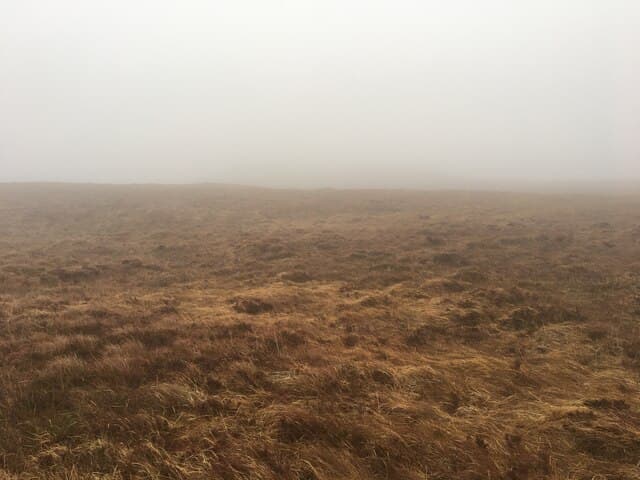
Boggy lochside flats, then steep grass and broken schist on the spur. The summit area is short windswept turf with scattered quartzite blocks. Few easy descent options — best to retrace the ascent.
In winter
Atlantic weather brings rapid freezes and thaws to Glen Etive; ice forms on the schist slabs unpredictably. A proper winter day with axe and crampons if the freezing level is below 500m, but verglas is sometimes the bigger threat than soft snow.
This hill is in the Glen Coe SAIS forecast area. Check SAIS forecasts in winter (December–April).
Best time of year
Getting there
- Glasgow2h 15m
- Edinburgh4h 18m
OS maps: OS Landranger 50, OS Explorer 377E
Mobile signal: Poor. Remote Argyll or Highland area; limited coverage.
Current conditions
Daylight Today
- Sunrise
- 05:16
- Sunset
- 21:35
- Civil dawn
- 04:25
- Civil dusk
- 22:26
NOAA Solar Calculator · 30 July 2026
Around Glas Bheinn on the SCOT network
Getting there, basing yourself, and what to do off the hill.
Getting there: Bridge of Orchy station
Black Mount; Beinn Dorain, Beinn an Dothaidh, Beinn Achaladair, Beinn a Chreachain
8km from the hill
tripscot.co.uk
On TripSCOTBase yourself in Fort William
Ben Nevis base, West Highland Line, gateway to Lochaber
35km from the hill
tripscot.co.uk
Glas Bheinn — common questions
- How difficult is Glas Bheinn?
- Glas Bheinn carries a 2/5 (moderate) grade on the OutdoorSCOT scale. Ground conditions: Boggy lochside flats, then steep grass and broken schist on the spur.
- How much drop does Glas Bheinn have?
- The drop is 182m: measured from the summit of Glas Bheinn down to the saddle joining it to higher terrain. Passing the 150m-drop threshold on all sides is exactly what makes it a Marilyn.
- What's the best month to climb Glas Bheinn?
- Aim for March, April, May, June, July, August, September, October on Glas Bheinn. In the remaining months treat it as a winter hill — full kit, solid navigation, and a look at the relevant SAIS avalanche forecast before you go.
- Can dogs go up Glas Bheinn?
- Dogs are fine on a lead. The route passes livestock or ground-nesting bird habitat, so keep them close throughout.
- Will I get phone signal on Glas Bheinn?
- Poor. Remote Argyll or Highland area; limited coverage.
- Is Glas Bheinn safe in winter?
- Atlantic weather brings rapid freezes and thaws to Glen Etive; ice forms on the schist slabs unpredictably. A proper winter day with axe and crampons if the freezing level is below 500m, but verglas is sometimes the bigger threat than soft snow.
Get the OutdoorSCOT weekly
One email a week — new route, hill and bothy guides, seasonal conditions and the odd hard-won lesson. No spam, unsubscribe in one click.