Marilyn · Outer Hebrides
An Coileach
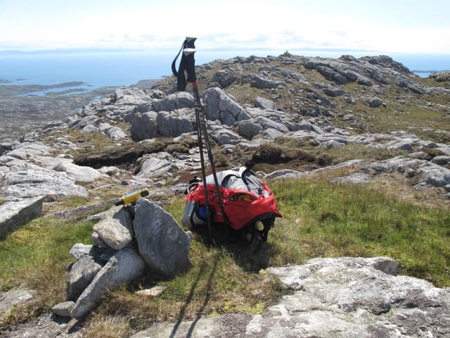
An Coileach, the cock, is a craggy 389m hill in the rough country of south-east Harris between Lingerabay and Loch Langabhat. Its rocky pyramidal form rises above the road and overlooks the Minch toward Skye.
Quick facts
- Height
- 389m/ 1276ft
- Prominence
- 327 m
- Grid ref
- NG 08626 92784
- Dogs
- Dogs on lead required near livestockDog-friendly guide ↗
Height and prominence cross-checked against the Database of British and Irish Hills (CC BY).
No GPX track yet
Walked this route? Share your track to help other walkers.
Standard route
blanket bog 50% · Lewisian gneiss 35% · rocky summit 15%
A short pathless route climbs from the A859 near Lingerabay up the south-west flank, weaving between gneiss outcrops to the summit. Roughly three hours return with persistent rough ground.
Terrain
Heather, bog hollow and bare gneiss in equal measure. The final pull is over slabby rock with several easy steps to the top.
In winter
Little snow but the slabs ice up readily and the unforgiving Atlantic wind hits this exposed hill hard. Good navigation needed in cloud.
Best time of year
Getting there
- Glasgow9h 34m
- Edinburgh11h 47m
Ferry access
Uig (Skye) → Tarbert (Harris)
- Crossing time105 min
- Summer sailings2 sailings daily (Apr–Oct)
- Winter sailings1 sailing daily (Nov–Mar)
- Book ahead14 days
- Last ferry backCheck CalMac timetable — last sailing to Uig varies seasonally
Drive to Uig on Skye (Skye Bridge from Kyle of Lochalsh), then ferry to Harris. Alternative: Ullapool → Stornoway (Lewis, 2h45) and drive south.
Book on CalMac ↗OS maps: OS Landranger 14, OS Landranger 18, OS Explorer 455
Mobile signal: Near zero. No usable mobile signal; carry a personal locator beacon on this remote North Uist hill.
Current conditions
Daylight Today
- Sunrise
- 05:17
- Sunset
- 21:51
- Civil dawn
- 04:23
- Civil dusk
- 22:45
NOAA Solar Calculator · 30 July 2026
Around An Coileach on the SCOT network
Getting there, basing yourself, and what to do off the hill.
An Coileach — common questions
- How difficult is An Coileach?
- An Coileach carries a 1/5 (easy) grade on the OutdoorSCOT scale. Terrain: Heather, bog hollow and bare gneiss in equal measure.
- How prominent is An Coileach?
- An Coileach has 327m of topographic prominence — the height of its summit above the highest col connecting it to higher ground. Marilyns are defined by that measure: at least 150m of drop on all sides.
- When should I climb An Coileach?
- The standard good-weather months for An Coileach are March, April, May, June, July, August, September, October. Outside those months, expect winter conditions on the high ground — full mountain kit, navigation skills, and a check of the SAIS avalanche forecast for the relevant region.
- Can I bring my dog up An Coileach?
- On a lead only — the route crosses ground with livestock or nesting-bird interest.
- What's mobile reception like on An Coileach?
- Near zero. No usable mobile signal; carry a personal locator beacon on this remote North Uist hill.
- How do I get the ferry to An Coileach?
- Uig (Skye) → Tarbert (Harris). 2 sailings daily (Apr–Oct) in summer; 1 sailing daily (Nov–Mar) in winter. Book at least 14 days ahead. Drive to Uig on Skye (Skye Bridge from Kyle of Lochalsh), then ferry to Harris. Alternative: Ullapool → Stornoway (Lewis, 2h45) and drive south.
- Is An Coileach safe in winter?
- Little snow but the slabs ice up readily and the unforgiving Atlantic wind hits this exposed hill hard. Good navigation needed in cloud.
Get the OutdoorSCOT weekly
One email a week — new route, hill and bothy guides, seasonal conditions and the odd hard-won lesson. No spam, unsubscribe in one click.