Donald · Borders
Talla Cleuch Head
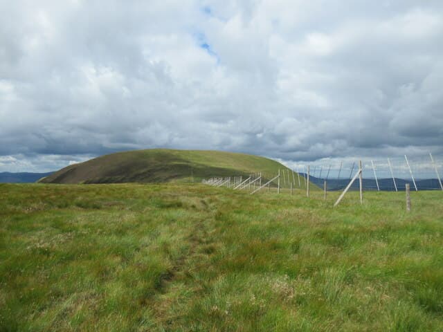
Talla Cleuch Head sits on the long ridge running south from Broad Law above the dark waters of Talla Reservoir. The top is unmarked apart from a turn in the watershed fence, but the drop down Garelet Hill into the Talla glen is one of the more striking little corries in the Tweedsmuirs.
Quick facts
- Height
- 691m/ 2267ft
- Prominence
- 63 m
- Grid ref
- NT133218
- Parking
- NT136215
- Nearest city
- Dumfries· 48km
- Dogs
- Dogs on lead required near livestockDog-friendly guide ↗
Height and prominence cross-checked against the Database of British and Irish Hills (CC BY).
No GPX track yet
Walked this route? Share your track to help other walkers.
Standard route
grass moorland 80% · heather patches 15% · summit area 5%
The shortest line climbs steep grass directly from the Megget Stone car park on the high road between Talla and Megget. About 5km return with 420m of climb — a short but stiff pull onto the ridge.
Terrain
Featureless moor grass once the initial steep slope is behind you. The watershed fence runs unbroken across the top, which is invaluable in cloud.
In winter
Crusted neve forms on the steep ascent from the Megget Stone after a freeze. The flat top scours bare in easterly winds but holds knee-deep drift in westerlies.
Best time of year
Getting there
- Glasgow2h 39m
- Edinburgh1h 16m
OS maps: OS Landranger 72
Mobile signal: Solid summit coverage; EE holds throughout. Tweedsmuir watershed viewpoint.
Current conditions
Daylight Today
- Sunrise
- 04:54
- Sunset
- 21:45
- Civil dawn
- 04:01
- Civil dusk
- 22:38
NOAA Solar Calculator · 17 July 2026
Around Talla Cleuch Head on the SCOT network
Getting there, basing yourself, and what to do off the hill.
Talla Cleuch Head — common questions
- What difficulty is Talla Cleuch Head?
- On the OutdoorSCOT scale, Talla Cleuch Head comes in at 3/5 — moderately challenging. Terrain: Featureless moor grass once the initial steep slope is behind you.
- How prominent is Talla Cleuch Head?
- Talla Cleuch Head has 63m of topographic prominence — the height of its summit above the highest col connecting it to higher ground.
- Where should I park to climb Talla Cleuch Head?
- Standard parking is at NT136215. Check the parking grid reference on an OS map before travel; informal laybys can fill on summer weekends.
- When should I climb Talla Cleuch Head?
- The standard good-weather months for Talla Cleuch Head are March, April, May, June, July, August, September, October, November. Outside those months, expect winter conditions on the high ground — full mountain kit, navigation skills, and a check of the SAIS avalanche forecast for the relevant region.
- Can I bring my dog up Talla Cleuch Head?
- On a lead only — the route crosses ground with livestock or nesting-bird interest.
- What's mobile reception like on Talla Cleuch Head?
- Solid summit coverage; EE holds throughout. Tweedsmuir watershed viewpoint.
- Is Talla Cleuch Head safe in winter?
- Crusted neve forms on the steep ascent from the Megget Stone after a freeze. The flat top scours bare in easterly winds but holds knee-deep drift in westerlies.
Get the OutdoorSCOT weekly
One email a week — new route, hill and bothy guides, seasonal conditions and the odd hard-won lesson. No spam, unsubscribe in one click.