Corbett · Galloway
Merrick
Merrick is the highest hill in southern Scotland and the undisputed king of the Galloway uplands — a 843m granite dome rising at the head of the Range of the Awful Hand, the long curving ridge that gives the area its character. The summit's official southern-Scotland status is a small headline; the better story is the country it sits in, the Galloway Forest Dark Sky Park, where you can walk for hours seeing nothing but heather, granite tor, and the lochs of the Awful Hand below. On clear days the view stretches to Ireland's Mourne Mountains and the Isle of Man.
Quick facts
- Height
- 843m/ 2766ft
- Prominence
- 705 m
- Distance
- 13 km
- Ascent
- 850 m
- Time
- 3–6 hrs
- Grid ref
- NX427855
- Parking
- NX415803
- Nearest
- Glasgow· Dumfries 55km
- Dogs
- Dogs on lead required near livestockDog-friendly guide ↗
Height and prominence cross-checked against the Database of British and Irish Hills (CC BY).
No GPX track yet
Walked this route? Share your track to help other walkers.
Standard route
forest track 15% · moorland path 40% · grassy ridge 35% · summit area 10%
The classic route starts from Bruce's Stone car park at the head of Glen Trool. Follow the well-trodden path north past Culsharg bothy, climbing steadily onto Benyellary at 719m. From Benyellary, follow the broad ridge — the Neive of the Spit — north to the summit of Merrick. The descent reverses the line; strong walkers extend by including Kirriereoch Hill to the north or Buchan Hill to the east. Allow 5–6 hours.
Terrain
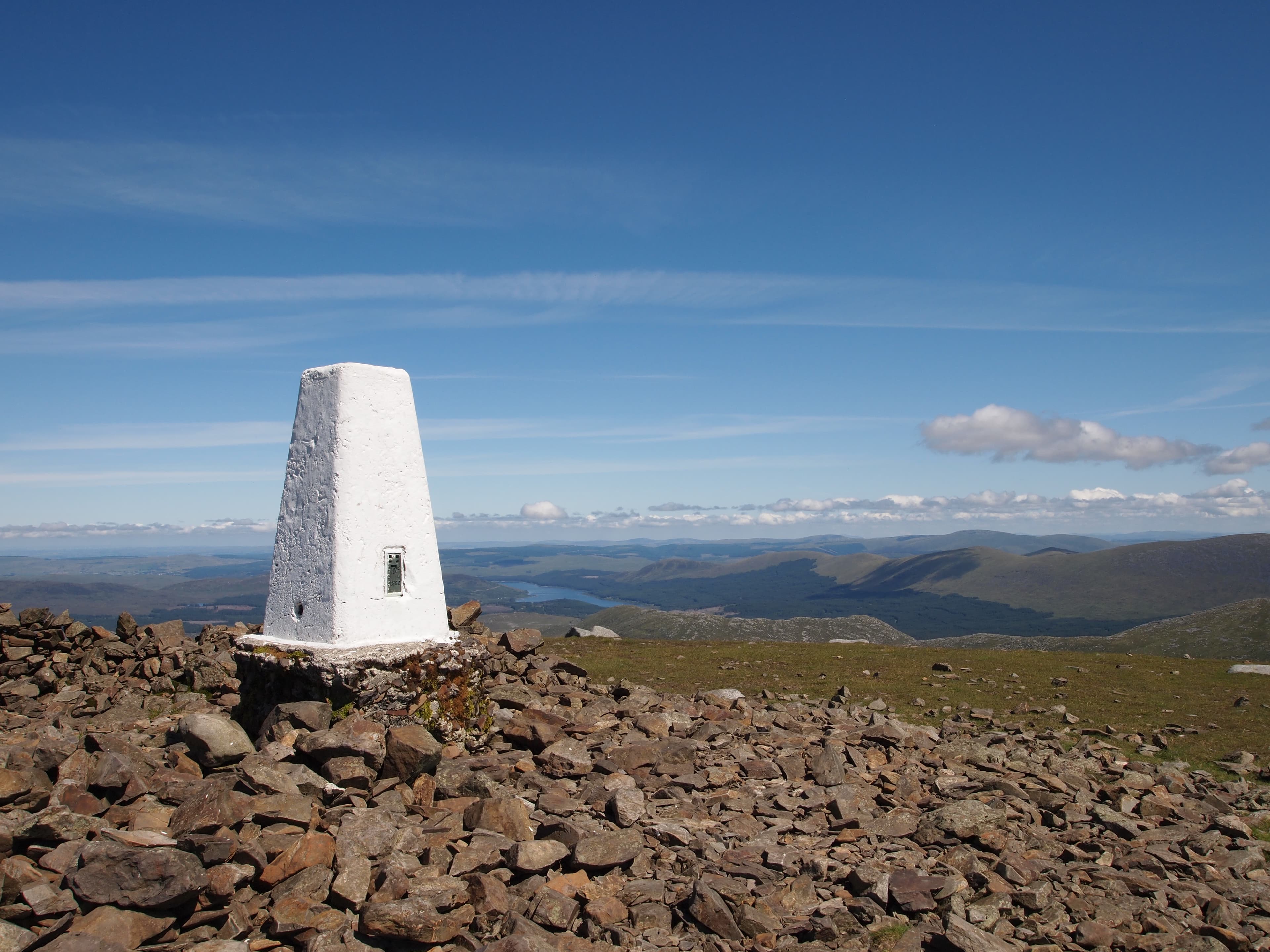
A clear path the entire way — by some margin the most trodden Corbett line outside the Munro country. The forestry section near Bruce's Stone gives way to a stone path past Culsharg, then a steady grassy climb onto Benyellary. The Neive of the Spit between Benyellary and Merrick is a narrow grassy ridge with mild exposure. Summit is a low granite outcrop with a trig pillar and a small windbreak.
In winter
Merrick under snow is the great winter day of southern Scotland — long Atlantic views, lower midwinter wind chill than the Highlands, and just enough technical interest on the Neive in firm conditions to feel like a winter mountain rather than a snowy walk. Snow cover is intermittent; check Mountain Weather Information Service Southern Uplands forecast. The path freezes hard on north-facing sections.
Best time of year
Getting there
- Glasgow2h 44m
- Edinburgh3h 35m
OS maps: OS Landranger 77
Mobile signal: Patchy EE/Vodafone at Bruce's Stone; weakens through the forest; usable on the summit looking south toward the Solway
Current conditions
Daylight Today
- Sunrise
- 04:55
- Sunset
- 21:52
- Civil dawn
- 04:01
- Civil dusk
- 22:46
NOAA Solar Calculator · 13 July 2026
Pair with
Curated multi-hill combinations from Merrick.
Around Merrick on the SCOT network
Getting there, basing yourself, and what to do off the hill.
Merrick — common questions
- Is Merrick a hard climb?
- Merrick is rated 2/5 (moderate) on the OutdoorSCOT scale. The standard route covers about 13km with 850m of ascent and takes most walkers 3-6 hours. Ground conditions: A clear path the entire way — by some margin the most trodden Corbett line outside the Munro country.
- How much drop does Merrick have?
- The drop is 705m: measured from the summit of Merrick down to the saddle joining it to higher terrain.
- Where's the parking for Merrick?
- Park at NX415803 near Glasgow. Double-check the grid reference on an OS map first; informal laybys here fill early in high season.
- What's the best month to climb Merrick?
- Aim for April, May, June, July, August, September, October on Merrick. In the remaining months treat it as a winter hill — full kit, solid navigation, and a look at the relevant SAIS avalanche forecast before you go.
- Can dogs go up Merrick?
- Dogs are fine on a lead. The route passes livestock or ground-nesting bird habitat, so keep them close throughout.
- Will I get phone signal on Merrick?
- Patchy EE/Vodafone at Bruce's Stone; weakens through the forest; usable on the summit looking south toward the Solway
- Is Merrick safe in winter?
- Merrick under snow is the great winter day of southern Scotland — long Atlantic views, lower midwinter wind chill than the Highlands, and just enough technical interest on the Neive in firm conditions to feel like a winter mountain rather than a snowy walk. Snow cover is intermittent; check Mountain Weather Information Service Southern Uplands forecast. The path freezes hard on north-facing sections.
Get the OutdoorSCOT weekly
One email a week — new route, hill and bothy guides, seasonal conditions and the odd hard-won lesson. No spam, unsubscribe in one click.