Marilyn · Galloway
Woodhead Hill
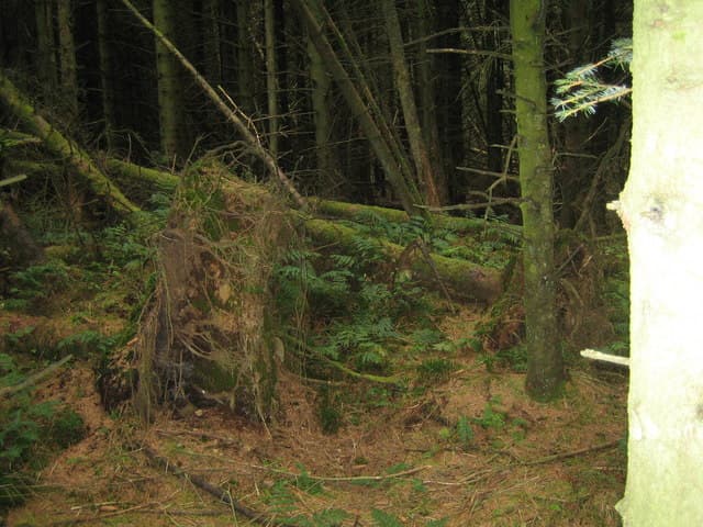
Woodhead Hill reaches just 259m on the NX-grid Urr Water uplands east of Dalbeattie, a tiny Dumfriesshire Marilyn that earns its status through prominence rather than altitude. The setting amid mixed farmland is gentle and pastoral.
Quick facts
- Height
- 259.5m/ 851ft
- Prominence
- 170 m
- Grid ref
- NX 92760 71302
- Nearest city
- Dumfries· 7km
- Dogs
- Dogs on lead required near livestockDog-friendly guide ↗
Height and prominence cross-checked against the Database of British and Irish Hills (CC BY).
No GPX track yet
Walked this route? Share your track to help other walkers.
Standard route
heather moorland 60% · rough grassland 30% · grassy summit 10%
From the B794 north of Dalbeattie, follow farm access tracks past Woodhead before climbing pasture and gorse to the small cairn. An hour and a half is enough for the round.
Terrain
Improved pasture and gorse on the lower slopes, short heather and turf at the summit. Field boundaries dominate the early route.
In winter
Snow is essentially absent in most winters here. Boggy field corners and frozen stiles are the only seasonal hazards.
Best time of year
Getting there
- Glasgow3h 37m
- Edinburgh3h 42m
OS maps: OS Landranger 84, OS Explorer 313
Mobile signal: Good. Dumfriesshire; solid EE signal. Good coverage near the Nith valley.
Current conditions
Daylight Today
- Sunrise
- 05:19
- Sunset
- 21:23
- Civil dawn
- 04:32
- Civil dusk
- 22:10
NOAA Solar Calculator · 30 July 2026
Around Woodhead Hill on the SCOT network
Getting there, basing yourself, and what to do off the hill.
Woodhead Hill — common questions
- Is Woodhead Hill a hard climb?
- Woodhead Hill is rated 1/5 (easy) on the OutdoorSCOT scale. Terrain: Improved pasture and gorse on the lower slopes, short heather and turf at the summit.
- How prominent is Woodhead Hill?
- Woodhead Hill has 170m of topographic prominence — the height of its summit above the highest col connecting it to higher ground. Marilyns are defined by that measure: at least 150m of drop on all sides.
- When should I climb Woodhead Hill?
- The standard good-weather months for Woodhead Hill are March, April, May, June, July, August, September, October. Outside those months, expect winter conditions on the high ground — full mountain kit, navigation skills, and a check of the SAIS avalanche forecast for the relevant region.
- Can I bring my dog up Woodhead Hill?
- On a lead only — the route crosses ground with livestock or nesting-bird interest.
- What's mobile reception like on Woodhead Hill?
- Good. Dumfriesshire; solid EE signal. Good coverage near the Nith valley.
- Is Woodhead Hill safe in winter?
- Snow is essentially absent in most winters here. Boggy field corners and frozen stiles are the only seasonal hazards.
Get the OutdoorSCOT weekly
One email a week — new route, hill and bothy guides, seasonal conditions and the odd hard-won lesson. No spam, unsubscribe in one click.