Marilyn · Cairngorms
Hare Cairn
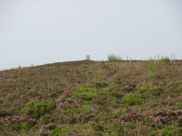
A 516m grassy dome on the divide between Glen Isla and Glen Prosen, named for the mountain hares that turn white on its upper slopes in late autumn. The summit cairn is one of several prehistoric burial mounds scattered along the Angus Mounth.
Quick facts
- Height
- 516m/ 1693ft
- Prominence
- 180 m
- Grid ref
- NO 24212 62339
- Nearest city
- Dundee· 36km
- Dogs
- Dogs on lead required near livestockDog-friendly guide ↗
Height and prominence cross-checked against the Database of British and Irish Hills (CC BY).
No GPX track yet
Walked this route? Share your track to help other walkers.
Standard route
heather moorland 70% · grass slopes 20% · rocky summit 10%
From the Glen Prosen road end, follow the public path north-west towards the Capel Mounth before striking up onto Hare Cairns broad south ridge. Around 10km out and back in 3 to 4 hours.
Terrain
Sheep-cropped grass on the ridge proper, with squelchy ground around the spring source on the eastern flank. Hardly any rocky ground to negotiate.
In winter
A safer option than the higher Mounth summits when avalanche risk is elevated, as the slopes are gentle and rounded. Spring snow can lie in the lee until May; the hares are at their photogenic best in March.
Best time of year
Getting there
- Glasgow3h 28m
- Edinburgh2h 4m
OS maps: OS Landranger 44, OS Explorer 053S, OS Explorer 388S
Mobile signal: Good summit signal; EE works well. Fine Angus Glens viewpoint.
Current conditions
Daylight Today
- Sunrise
- 06:41
- Sunset
- 19:36
- Civil dawn
- 06:03
- Civil dusk
- 20:15
NOAA Solar Calculator · 14 September 2026
Around Hare Cairn on the SCOT network
Getting there, basing yourself, and what to do off the hill.
Getting there: Dunkeld & Birnam station
Birnam Hill, Hermitage walks, southern Perthshire gateway
29km from the hill
tripscot.co.uk
On TripSCOTBase yourself in Dunkeld
Southern Cairngorms gateway — Hermitage, Loch of the Lowes
29km from the hill
tripscot.co.uk
On TasteSCOTAfter the hill: Edradour
Pitlochry — until recently Scotland's smallest distillery; charming Perthshire setting
28km from the hill
tastescot.co.uk
Hare Cairn — common questions
- What difficulty is Hare Cairn?
- On the OutdoorSCOT scale, Hare Cairn comes in at 2/5 — moderate. Ground conditions: Sheep-cropped grass on the ridge proper, with squelchy ground around the spring source on the eastern flank.
- How much drop does Hare Cairn have?
- The drop is 180m: measured from the summit of Hare Cairn down to the saddle joining it to higher terrain. Passing the 150m-drop threshold on all sides is exactly what makes it a Marilyn.
- What's the best month to climb Hare Cairn?
- Aim for March, April, May, June, July, August, September, October on Hare Cairn. In the remaining months treat it as a winter hill — full kit, solid navigation, and a look at the relevant SAIS avalanche forecast before you go.
- Can dogs go up Hare Cairn?
- Dogs are fine on a lead. The route passes livestock or ground-nesting bird habitat, so keep them close throughout.
- Will I get phone signal on Hare Cairn?
- Good summit signal; EE works well. Fine Angus Glens viewpoint.
- Is Hare Cairn safe in winter?
- A safer option than the higher Mounth summits when avalanche risk is elevated, as the slopes are gentle and rounded. Spring snow can lie in the lee until May; the hares are at their photogenic best in March.
Get the OutdoorSCOT weekly
One email a week — new route, hill and bothy guides, seasonal conditions and the odd hard-won lesson. No spam, unsubscribe in one click.