Marilyn · Galloway
Beneraird
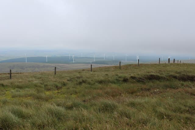
A 439m Carrick Marilyn at NX 13 east of Ballantrae, perched above the wild coast of South Ayrshire. Beneraird gives a sea-and-hill panorama from Ailsa Craig across to the Galloway Forest.
Quick facts
- Height
- 439m/ 1440ft
- Prominence
- 307 m
- Grid ref
- NX 13548 78513
- Nearest city
- Glasgow· 98km
- Dogs
- Dogs on lead required near livestockDog-friendly guide ↗
Height and prominence cross-checked against the Database of British and Irish Hills (CC BY).
No GPX track yet
Walked this route? Share your track to help other walkers.
Standard route
heather moorland 60% · boggy ground 25% · rocky summit 15%
Start from the minor road at Glen App and climb north-east through forestry breaks onto the open ridge. The summit lies at the north end of a broad heather plateau — 3 hours round trip.
Terrain
Plantation tracks then open heather and tussock; the upper hill is firm with occasional peat hags between outcrops.
In winter
Atlantic air keeps Beneraird largely snow-free, but the exposed ridge catches strong south-westerlies. Pick a settled day for the views.
Best time of year
Getting there
- Glasgow3h 41m
- Edinburgh5h 2m
OS maps: OS Landranger 76, OS Explorer 317
Mobile signal: Poor. Galloway; limited coverage.
Current conditions
Daylight Today
- Sunrise
- 05:24
- Sunset
- 21:28
- Civil dawn
- 04:37
- Civil dusk
- 22:15
NOAA Solar Calculator · 30 July 2026
Around Beneraird on the SCOT network
Getting there, basing yourself, and what to do off the hill.
Beneraird — common questions
- What difficulty is Beneraird?
- On the OutdoorSCOT scale, Beneraird comes in at 1/5 — easy. Ground conditions: Plantation tracks then open heather and tussock; the upper hill is firm with occasional peat hags between outcrops.
- How much drop does Beneraird have?
- The drop is 307m: measured from the summit of Beneraird down to the saddle joining it to higher terrain. Passing the 150m-drop threshold on all sides is exactly what makes it a Marilyn.
- What's the best month to climb Beneraird?
- Aim for March, April, May, June, July, August, September, October on Beneraird. In the remaining months treat it as a winter hill — full kit, solid navigation, and a look at the relevant SAIS avalanche forecast before you go.
- Can dogs go up Beneraird?
- Dogs are fine on a lead. The route passes livestock or ground-nesting bird habitat, so keep them close throughout.
- Will I get phone signal on Beneraird?
- Poor. Galloway; limited coverage.
- Is Beneraird safe in winter?
- Atlantic air keeps Beneraird largely snow-free, but the exposed ridge catches strong south-westerlies. Pick a settled day for the views.
Get the OutdoorSCOT weekly
One email a week — new route, hill and bothy guides, seasonal conditions and the odd hard-won lesson. No spam, unsubscribe in one click.