Marilyn · Argyll
Beinn Ghlas
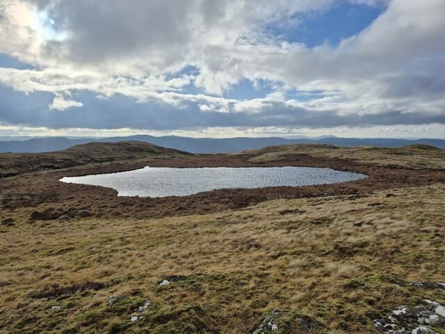
This 516m Beinn Ghlas (Green-grey Hill) lies above Kilchrenan in mid-Argyll, with a fine outlook to Ben Cruachan across Loch Awe. It is the higher of two Argyll Marilyns sharing the name.
Gaelic: “mountain, grey-green” · Pronunciation: bine glass
Quick facts
- Height
- 516.4m/ 1694ft
- Grid ref
- NM 95751 25959
- Nearest city
- Oban· 11km
- Dogs
- Dogs on lead required near livestockDog-friendly guide ↗
No GPX track yet
Walked this route? Share your track to help other walkers.
Standard route
heather moorland 50% · grass slopes 35% · rocky outcrops 15%
Tracks from Kilchrenan or the B845 give the easiest start, leading up through forestry plantations before open heather slopes lead to the cairn. Allow 3 to 4 hours and expect occasional path-finding through felled blocks.
Terrain
Plantation forest dominates the lower half, replaced higher up by grass moor and scattered schist slabs. Felling and replanting mean the line of least resistance changes year to year.
In winter
Modest height limits prolonged snow cover, but iced-up forest tracks and slick conifer needles make grip patchy. Daylight is the bigger constraint in midwinter.
Best time of year
Getting there
- Glasgow3h 3m
- Edinburgh6h 36m
OS maps: OS Landranger 49, OS Explorer 360N
Mobile signal: Poor. Loch Awe / Lorn; EE and Vodafone both fail on this summit.
Current conditions
Daylight Today
- Sunrise
- 04:34
- Sunset
- 22:15
- Civil dawn
- 03:30
- Civil dusk
- 23:19
NOAA Solar Calculator · 27 June 2026
Around Beinn Ghlas on the SCOT network
Getting there, basing yourself, and what to do off the hill.
Getting there: Oban station
Argyll ferry hub; Mull, Lismore, Coll, Tiree, Barra connections
11km from the hill
tripscot.co.uk
On TripSCOTBase yourself in Oban
Argyll ferry hub — Mull, Lismore, Coll, Tiree, Barra
11km from the hill
tripscot.co.uk
On TasteSCOTAfter the hill: Oban
Oban town centre — tiny two-still distillery bridging Highland and West Coast styles
11km from the hill
tastescot.co.uk
Beinn Ghlas — common questions
- How hard is Beinn Ghlas?
- Beinn Ghlas is rated 2/5 (moderate) on the OutdoorSCOT scale. Terrain: Plantation forest dominates the lower half, replaced higher up by grass moor and scattered schist slabs.
- When is the best time to climb Beinn Ghlas?
- The standard good-weather months for Beinn Ghlas are March, April, May, June, July, August, September, October. Outside those months, expect winter conditions on the high ground — full mountain kit, navigation skills, and a check of the SAIS avalanche forecast for the relevant region.
- Can I bring my dog up Beinn Ghlas?
- Yes, but dogs must be kept on a lead — there is livestock or ground-nesting bird interest on the route.
- Is there mobile signal on Beinn Ghlas?
- Poor. Loch Awe / Lorn; EE and Vodafone both fail on this summit.
- Is Beinn Ghlas safe in winter?
- Modest height limits prolonged snow cover, but iced-up forest tracks and slick conifer needles make grip patchy. Daylight is the bigger constraint in midwinter.
Get the OutdoorSCOT weekly
One email a week — new route, hill and bothy guides, seasonal conditions and the odd hard-won lesson. No spam, unsubscribe in one click.