Marilyn · Skye
Beinn Bhac-ghlais
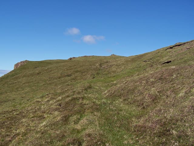
Beinn Bhac-ghlais is the southernmost of the MacLeod's Tables group, sitting just south of Healabhal Bheag on the Duirinish peninsula. The NG 22 40 grid puts it inland from Idrigill Point on west Skye, with sea views over Loch Bracadale and out to the basalt sea stacks of MacLeod's Maidens.
Quick facts
- Height
- 409m/ 1342ft
- Prominence
- 155 m
- Grid ref
- NG 22919 40491
- Dogs
- Dogs on lead required near livestockDog-friendly guide ↗
Height and prominence cross-checked against the Database of British and Irish Hills (CC BY).
No GPX track yet
Walked this route? Share your track to help other walkers.
Standard route
heather moorland 55% · rocky slopes 30% · grass slopes 15%
Park at Orbost (NG 25 43) and take the rough track south-west, then climb the heathery east flank to gain the summit. A natural pairing with Healabhal Bheag for a longer day. Around 8 km return with 420m of climb.
Terrain
Boggy heather throughout the approach, with a rocky cap of jumbled basalt blocks on the summit. The flanks fall steeply on three sides and require a careful descent line.
In winter
A genuinely low west-coast hill where snow rarely lies but rime ice can coat the summit blocks. The exposed top catches the full force of any Atlantic gale.
Best time of year
Getting there
- Glasgow7h 15m
- Edinburgh10h 35m
OS maps: OS Landranger 23, OS Explorer 407
Mobile signal: Poor. No coverage; Trotternish / Strathaird area is a known dead zone.
Current conditions
Daylight Today
- Sunrise
- 05:19
- Sunset
- 21:47
- Civil dawn
- 04:26
- Civil dusk
- 22:40
NOAA Solar Calculator · 30 July 2026
Around Beinn Bhac-ghlais on the SCOT network
Getting there, basing yourself, and what to do off the hill.
Getting there: Kyle of Lochalsh station
Skye Bridge; Five Sisters of Kintail; Glen Shiel; Plockton
55km from the hill
tripscot.co.uk
On TripSCOTBase yourself in Portree
Main Skye base — Cuillin, Trotternish, Storr
25km from the hill
tripscot.co.uk
On TasteSCOTAfter the hill: Talisker
Carbost on Skye — Cuillin foothills distillery; peppery, maritime, big-bodied
17km from the hill
tastescot.co.uk
Beinn Bhac-ghlais — common questions
- What difficulty is Beinn Bhac-ghlais?
- On the OutdoorSCOT scale, Beinn Bhac-ghlais comes in at 1/5 — easy. Terrain: Boggy heather throughout the approach, with a rocky cap of jumbled basalt blocks on the summit.
- How prominent is Beinn Bhac-ghlais?
- Beinn Bhac-ghlais has 155m of topographic prominence — the height of its summit above the highest col connecting it to higher ground. Marilyns are defined by that measure: at least 150m of drop on all sides.
- When should I climb Beinn Bhac-ghlais?
- The standard good-weather months for Beinn Bhac-ghlais are March, April, May, June, July, August, September, October. Outside those months, expect winter conditions on the high ground — full mountain kit, navigation skills, and a check of the SAIS avalanche forecast for the relevant region.
- Can I bring my dog up Beinn Bhac-ghlais?
- On a lead only — the route crosses ground with livestock or nesting-bird interest.
- What's mobile reception like on Beinn Bhac-ghlais?
- Poor. No coverage; Trotternish / Strathaird area is a known dead zone.
- Is Beinn Bhac-ghlais safe in winter?
- A genuinely low west-coast hill where snow rarely lies but rime ice can coat the summit blocks. The exposed top catches the full force of any Atlantic gale.
Get the OutdoorSCOT weekly
One email a week — new route, hill and bothy guides, seasonal conditions and the odd hard-won lesson. No spam, unsubscribe in one click.