Long distance
St Cuthberts Way
Traces the life of St Cuthbert from Melrose Abbey across the Scottish Borders and into Northumberland, finishing at the tidal island of Lindisfarne. A cross-border pilgrimage route. 5 days, 100 km (62 mi), 1,900 m of cumulative ascent; a waymarked route best tackled best west-to-east with the prevailing weather behind you — an accessible introduction to long-distance walking.
Quick facts
- Distance
- 100 km/ 62 mi
- Typical days
- 5
- Total ascent
- 1900 m
- Difficulty
- easy
- Start → Finish
- Melrose → Lindisfarne
- Best direction
- West to East
- Water sources
- Melrose, St Boswells, Maxton, Jedburgh (off-route), Town Yetholm, Kirk Yetholm, Wooler, Holystone, Lindisfarne — all have taps and shops. The Cheviot crossing between Town Yetholm and Wooler is the only long water-carry — refill at Town Yetholm.
- Mobile signal
- EE/Vodafone reliable in the Borders towns and Cheviot villages. Signal drops on the Cheviot Hills crossing (Wideopen Moor / Brownhart Law). The Lindisfarne causeway is signal-fine.
✔ Waymarked throughout
Approximate profile derived from per-stage ascent — accurate on total climb and pattern, not a pixel-precise GPX trace.
Our take
St Cuthbert's Way is gentle, beautiful and deeply historical. The Eildon Hills above Melrose are a magnificent start. The middle section through the Cheviots has a wild feel that belies the modest elevation. The finish across the tidal causeway to Lindisfarne is one of the great endings in British walking — check the tide tables. Technically crosses into England for the final section.
Highlights
- Eildon Hills above Melrose
- Jedburgh Abbey
- Cheviot Hills crossing
- Tidal causeway to Lindisfarne
Mid-route waypoints
Navigation by progression marker rather than total distance.
| km | Waypoint | Type |
|---|---|---|
| 0 km | Melrose AbbeyCistercian abbey where Cuthbert began his ministry | start |
| 4 km | Eildon HillsThree iconic peaks crossed via the saddle; panoramic Borders views | summit |
| 13 km | St Boswells / DryburghNear Dryburgh Abbey and Sir Walter Scott's grave | village |
| 26 km | Harestanes / JedburghSpur to Jedburgh Abbey (4km off route) | village |
| 40 km | Cessford Castle15th-century Kerr stronghold ruin in rolling farmland | village |
| 53 km | Kirk YetholmBorder village; also northern terminus of the Pennine Way | village |
| 75 km | WoolerMarket town at the northern edge of the Cheviot Hills (England) | village |
| 92 km | St Cuthbert's CaveSandstone shelter where monks reputedly rested with Cuthbert's body | water |
| 100 km | Holy Island (Lindisfarne)Finish via the tidal causeway / Pilgrim's Path — check tide tables | finish |
Day-by-day itinerary
A suggested 5-day schedule. Adjust to your fitness and conditions.
1Melrose to Harestanes16km · 500m ascent
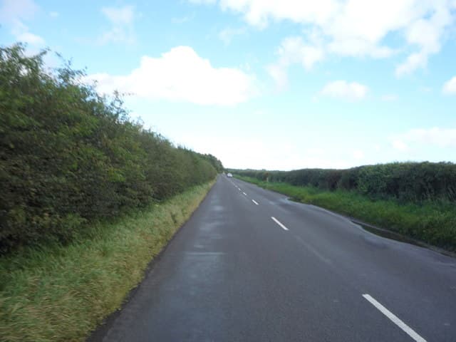
Over the Eildon Hills — three volcanic peaks with panoramic views — then down through farmland to Harestanes visitor centre on the Teviot. The route follows river valleys, the Eildon Hills and the Cheviot ridge before crossing the tidal causeway to Lindisfarne; gentle in terrain but with one major tidal crossing to plan around.
- Terrain
- Hill paths over the Eildons (422m), farm tracks, riverside paths.
- Overnight
- Harestanes has no accommodation; continue to Jedburgh or arrange transport.
- Stats
- Melrose → Harestanes · 16km · ↑500m
2Harestanes to Jedburgh10km · 200m ascent
Along the Teviot valley through farmland to the historic town of Jedburgh and its magnificent ruined abbey.
- Terrain
- Riverside paths, farm tracks, town walking. Easy.
- Overnight
- Jedburgh has hotels, B&Bs and a campsite. Jedburgh Abbey is worth an extended visit.
- Stats
- Harestanes → Jedburgh · 10km · ↑200m
3Jedburgh to Kirk Yetholm26km · 500m ascent
Through the Cheviot foothills past Cessford Castle and across moorland to Kirk Yetholm, where the Pennine Way ends.
- Terrain
- Farm tracks, moorland paths, some rough ground. Rolling hills.
- Overnight
- Kirk Yetholm has the Border Hotel and the Friends of Nature hostel.
- Stats
- Jedburgh → Kirk Yetholm · 26km · ↑500m
4Kirk Yetholm to Wooler24km · 450m ascent
Cross into England over the Cheviot Hills via the Pennine Way. The border ridge has tremendous views. Descent to the market town of Wooler.
- Terrain
- Hill ridge paths, moorland, farm tracks. Some exposed sections.
- Overnight
- Wooler has hotels, B&Bs and a youth hostel.
- Stats
- Kirk Yetholm → Wooler · 24km · ↑450m
5Wooler to Lindisfarne24km · 250m ascent
Through Northumberland farmland to the coast, then across the tidal causeway to Holy Island. Check tide tables carefully — the crossing is impassable at high tide.
- Terrain
- Farm paths, dune walking, tidal causeway crossing. Flat.
- Overnight
- Lindisfarne has limited B&Bs and the Ship Inn. Book well ahead.
- Stats
- Wooler → Lindisfarne · 24km · ↑250m
Transport
To start (Melrose)
Train · ScotRail Borders Railway
Edinburgh Waverley to Tweedbank (1.5 miles from Melrose)
Half-hourly; ~55 min
Check times & book →
From finish (Lindisfarne)
Bus · Borders Buses 477
Holy Island to Berwick-upon-Tweed (tide-dependent)
Twice daily summer; selected Weds / Sats off-season
Causeway closed 3–7 hours each tide — check safe crossing times
Check times & book →Train · LNER East Coast Main Line
Berwick-upon-Tweed to Edinburgh / Newcastle / London Kings Cross
Roughly hourly
Check times & book →
Best months
Accommodation
B&Bs at Melrose, Jedburgh, Kirk Yetholm and Wooler. Lindisfarne has limited accommodation — book well ahead. B&Bs and small hotels in Melrose, Jedburgh, Kirk Yetholm, Wooler and Holy Island; Lindisfarne fills quickly so book Holy Island accommodation at least four months ahead.
Night-by-night guide: where to stay →Resupply
Good shops at Melrose and Jedburgh. Limited after Kirk Yetholm until Wooler (England). Carry lunch daily. Co-op shops in Melrose, Jedburgh and Wooler; no shop on Lindisfarne for serious resupply but a small village shop and the Ship Inn cover lunches and dinners.
Connect with
Chain into a longer expedition by combining with adjacent long-distance routes.
Current conditions
Weather at the start point (Melrose)
Daylight Today
- Sunrise
- 05:13
- Sunset
- 21:22
- Civil dawn
- 04:24
- Civil dusk
- 22:10
NOAA Solar Calculator · 30 July 2026
Share your experience
Walked the St Cuthberts Way? Help others plan their trip.
Getting to and from the St Cuthberts Way
Train and town anchors at each end of the route — on TripSCOT.