Marilyn · Argyll & Bute
Windy Hill
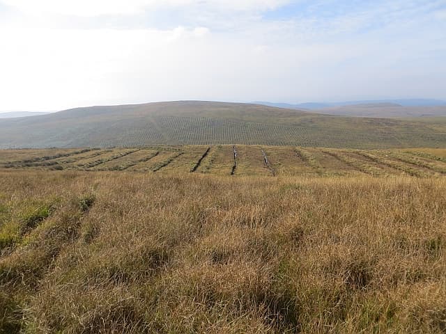
Windy Hill is the highest point of the moorland ridge running between the Kyles of Bute and Loch Striven on the Cowal peninsula. Despite only 278m of altitude, the prominence and openness deliver one of the broadest panoramas in southern Argyll.
Quick facts
- Height
- 278m/ 912ft
- Prominence
- 278 m
- Grid ref
- NS 04358 69854
- Nearest city
- Glasgow· 55km
- Dogs
- Dogs on lead required near livestockDog-friendly guide ↗
Height and prominence cross-checked against the Database of British and Irish Hills (CC BY).
No GPX track yet
Walked this route? Share your track to help other walkers.
Standard route
heather moorland 55% · grass slopes 35% · rocky summit 10%
A track from the B836 climbs steadily toward the summit ridge with little route-finding required. The summit cairn is reached after about 90 minutes. A loop via the eastern shoulder back to the road makes a satisfying half day.
Terrain
Excellent surfaced track for most of the way. Final approach to the cairn is on short grass and heather. Very few wet sections.
In winter
A reliable winter choice. The hill clears of snow quickly and the wide track stays passable through most conditions. Bring windproofs — the name is earned.
Best time of year
Getting there
- Glasgow2h 16m
- Edinburgh5h 1m
OS maps: OS Landranger 63, OS Explorer 362S
Mobile signal: Good summit signal; EE reliable. Exposed Cowal hilltop with excellent views.
Current conditions
Daylight Today
- Sunrise
- 06:50
- Sunset
- 19:43
- Civil dawn
- 06:12
- Civil dusk
- 20:21
NOAA Solar Calculator · 14 September 2026
Around Windy Hill on the SCOT network
Getting there, basing yourself, and what to do off the hill.
Getting there: Wemyss Bay station
Ferry to Rothesay (Isle of Bute) — West Island Way start
15km from the hill
tripscot.co.uk
On TripSCOTBase yourself in Rothesay
Isle of Bute base; West Island Way; short Glasgow break
7km from the hill
tripscot.co.uk
On TasteSCOTAfter the hill: Arran
Lochranza — northern Arran; revived in 1995; rich sherried releases
22km from the hill
tastescot.co.uk
Windy Hill — common questions
- Is Windy Hill a hard climb?
- Windy Hill is rated 1/5 (easy) on the OutdoorSCOT scale. Terrain: Excellent surfaced track for most of the way.
- How prominent is Windy Hill?
- Windy Hill's prominence is its full height — 278m — because it is the highest point of its landmass, with no higher ground connected to it. Marilyns are defined by that measure: at least 150m of drop on all sides.
- When should I climb Windy Hill?
- The standard good-weather months for Windy Hill are March, April, May, June, July, August, September, October. Outside those months, expect winter conditions on the high ground — full mountain kit, navigation skills, and a check of the SAIS avalanche forecast for the relevant region.
- Can I bring my dog up Windy Hill?
- On a lead only — the route crosses ground with livestock or nesting-bird interest.
- What's mobile reception like on Windy Hill?
- Good summit signal; EE reliable. Exposed Cowal hilltop with excellent views.
- Is Windy Hill safe in winter?
- A reliable winter choice. The hill clears of snow quickly and the wide track stays passable through most conditions. Bring windproofs — the name is earned.
Get the OutdoorSCOT weekly
One email a week — new route, hill and bothy guides, seasonal conditions and the odd hard-won lesson. No spam, unsubscribe in one click.