Marilyn · Borders
Minch Moor
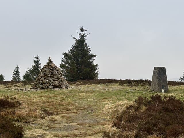
A 567m heathery summit standing on the Southern Upland Way between Traquair and Yair Bridge. The Cheese Well, a roadside spring traditionally given offerings by passing drovers, lies on the long-distance path just below the top.
Quick facts
- Height
- 567m/ 1860ft
- Prominence
- 213 m
- Grid ref
- NT 35864 33055
- Parking
- NT 33000 34700
- Nearest city
- Edinburgh· 42km
- Dogs
- Dogs on lead required near livestockDog-friendly guide ↗
Height and prominence cross-checked against the Database of British and Irish Hills (CC BY).
No GPX track yet
Walked this route? Share your track to help other walkers.
Standard route
heather moorland 55% · grass slopes 35% · rocky summit 10%
The waymarked Southern Upland Way climbs from Traquair on a good track for a 3-4 hour return trip. The route can be continued along the Minchmoor ridge to Broomy Law for a longer Borders ridge day.
Terrain
Good waymarked Southern Upland Way track underfoot for the entire ascent, with heather and grass on either side of the path. Easy navigation throughout.
In winter
The waymarked path eases winter navigation but snow drifts on the open ridge can be deep after easterly storms. A useful winter ridge if conditions allow.
Best time of year
Getting there
- Glasgow3h 15m
- Edinburgh1h 2m
OS maps: OS Landranger 73, OS Explorer 337
Mobile signal: Good. Borders; EE reliable on summit and approach.
Current conditions
Daylight Today
- Sunrise
- 05:14
- Sunset
- 21:23
- Civil dawn
- 04:26
- Civil dusk
- 22:12
NOAA Solar Calculator · 30 July 2026
Around Minch Moor on the SCOT network
Getting there, basing yourself, and what to do off the hill.
Minch Moor — common questions
- Is Minch Moor a hard climb?
- Minch Moor is rated 2/5 (moderate) on the OutdoorSCOT scale. Underfoot: Good waymarked Southern Upland Way track underfoot for the entire ascent, with heather and grass on either side of the path.
- What is Minch Moor's prominence?
- 213m of prominence. That's the vertical drop from the summit to the col that links Minch Moor to the next higher ground. That drop is what qualifies it as a Marilyn — a hill with at least 150m of descent on every side.
- Where do I park for Minch Moor?
- Most walkers start from NT 33000 34700. Verify the grid reference on an OS map before you set off — space is tight on busy summer weekends.
- When is the best time to climb Minch Moor?
- most of the year give the most reliable conditions on Minch Moor. Beyond that window the high ground turns wintry: carry full mountain kit, be confident navigating, and check the SAIS avalanche forecast for the area.
- Is Minch Moor dog-friendly?
- Yes, but dogs must be kept on a lead — there is livestock or ground-nesting bird interest on the route.
- Is there mobile signal on Minch Moor?
- Good. Borders; EE reliable on summit and approach.
- Is Minch Moor safe in winter?
- The waymarked path eases winter navigation but snow drifts on the open ridge can be deep after easterly storms. A useful winter ridge if conditions allow.
Get the OutdoorSCOT weekly
One email a week — new route, hill and bothy guides, seasonal conditions and the odd hard-won lesson. No spam, unsubscribe in one click.